| Memorials | : | 0 |
| Location | : | Macclesfield, Cheshire East Unitary Authority, England |
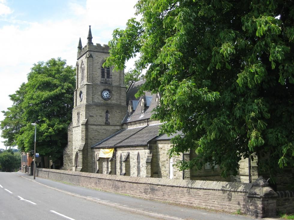
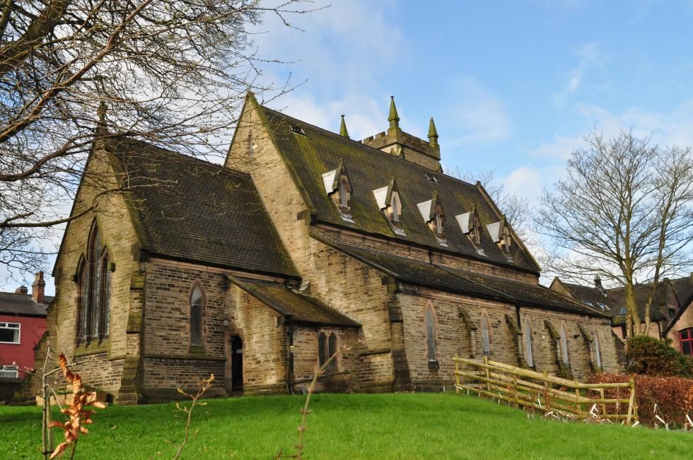
| Description | : | The foundation stone was laid on Easter Tuesday, 25 April 1848 and was consecrated on 21 July 1849, opening on 30 July 1849. The Church seats about 600 people. The belfry and clock were added in 1910. The Eight Church Bells were installed in 1948 as a memorial to those parishioners who lost their lives in the war, and to celebrate the church's centenary. Fred Horsfield trained the opening band of ringers from young people of the parish. The average age of the opening band of ringers was 14 years. The church porch was widened in November 1971 with contributions... Read More |
frequently asked questions (FAQ):
-
Where is St. Peter's Churchyard?
St. Peter's Churchyard is located at No GPS information available Add GPSSt Peter Macclesfield, Cheshire East Unitary Authority ,Cheshire , SK11 7HSEngland.
-
St. Peter's Churchyard cemetery's updated grave count on graveviews.com?
0 memorials
Nearby Cemetories:
1. Audlem Cemetery
Audlem, Cheshire East Unitary Authority, England
Coordinate: 53.1072140, -2.5223120
2. St James Churchyard
Audlem, Cheshire East Unitary Authority, England
Coordinate: 53.0977630, -2.3166660
3. St John the Evangelist Churchyard
Buglawton, Cheshire East Unitary Authority, England
Coordinate: 53.0960640, -2.3071370
4. All Saints Churchyard
Church Lawton, Cheshire East Unitary Authority, England
Coordinate: 53.2969600, -2.0926100
5. Saint Mary's Parish Church
Disley, Cheshire East Unitary Authority, England
Coordinate: 53.1182360, -2.6453990
6. St Luke Churchyard
Goostrey, Cheshire East Unitary Authority, England
Coordinate: 53.1590430, -2.2112310
7. All Saints Churchyard
Marthall, Cheshire East Unitary Authority, England
8. Alderley Park
Nether Alderley, Cheshire East Unitary Authority, England
9. St Marys Churchyard
Nether Alderley, Cheshire East Unitary Authority, England
10. St. John's Churchyard
Sandbach Heath, Cheshire East Unitary Authority, England
11. Quaker Burial Ground at Stoke Nantwich
Stoke, Cheshire East Unitary Authority, England
Coordinate: 53.1617900, -2.2115000
12. Christ Church Churchyard
Wheelock, Cheshire East Unitary Authority, England
13. St Oswald Churchyard
Worleston, Cheshire East Unitary Authority, England
Coordinate: 53.1072140, -2.5223120
14. Christ Church Churchyard
Alsager, Cheshire East Unitary Authority, England
Coordinate: 53.0977630, -2.3166660
15. St Mary Magdalene Churchyard
Alsager, Cheshire East Unitary Authority, England
Coordinate: 53.0960640, -2.3071370
16. St John the Baptist Churchyard
Bollington, Cheshire East Unitary Authority, England
Coordinate: 53.2969600, -2.0926100
17. St. Boniface Churchyard
Bunbury, Cheshire East Unitary Authority, England
Coordinate: 53.1182360, -2.6453990
18. Congleton Cemetery
Congleton, Cheshire East Unitary Authority, England
Coordinate: 53.1590430, -2.2112310
19. Congleton Edge Methodist Churchyard
Congleton, Cheshire East Unitary Authority, England
20. Eaton Quaker Burial Ground (Defunct)
Congleton, Cheshire East Unitary Authority, England
21. Holy Trinity Churchyard
Congleton, Cheshire East Unitary Authority, England
22. St James the Great Churchyard
Congleton, Cheshire East Unitary Authority, England
23. St Peter's Churchyard
Congleton, Cheshire East Unitary Authority, England
Coordinate: 53.1617900, -2.2115000
24. St Stephen Churchyard
Congleton, Cheshire East Unitary Authority, England


