
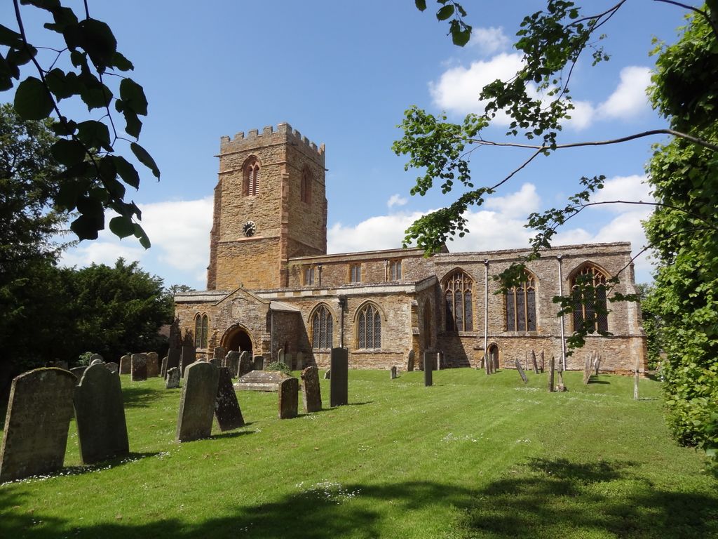
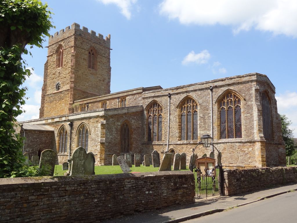
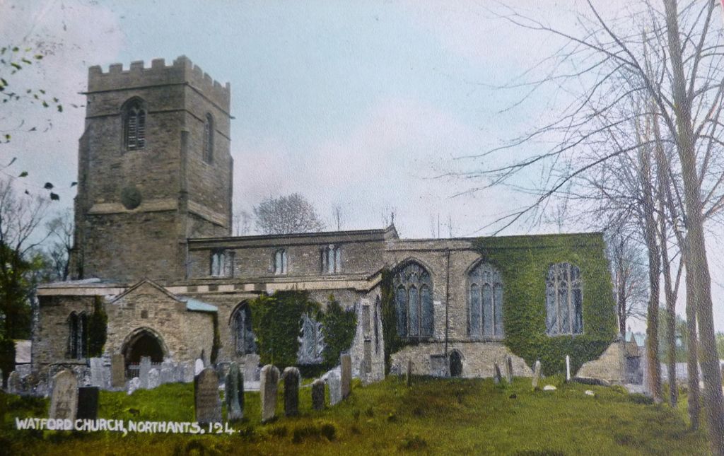
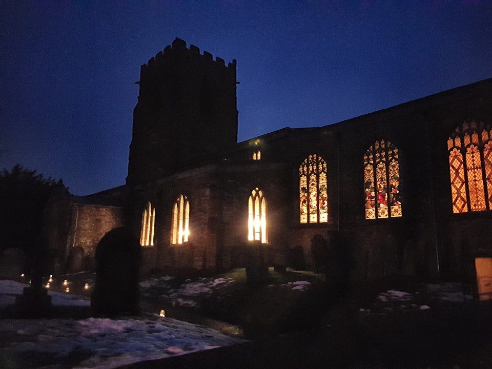
| Memorials | : | 0 |
| Location | : | Watford, Daventry District, England |
| Coordinate | : | 52.3160210, -1.1163920 |
frequently asked questions (FAQ):
-
Where is St. Peter and St. Paul Churchyard?
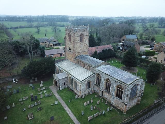
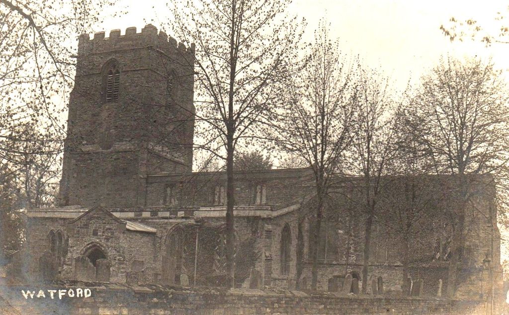
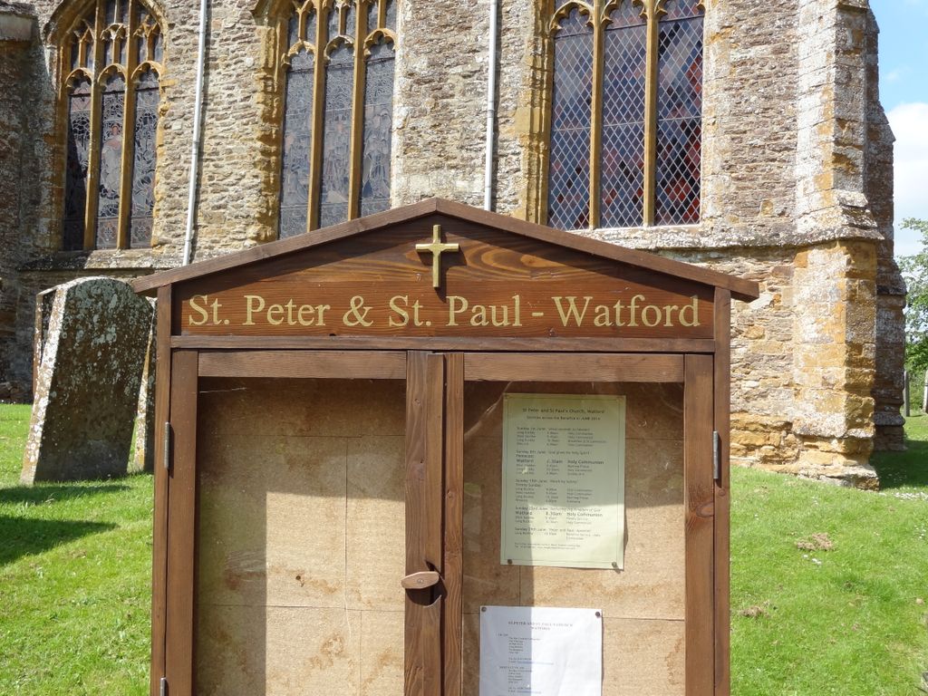
St. Peter and St. Paul Churchyard is located at Watford, Daventry District ,Northamptonshire ,England.
-
St. Peter and St. Paul Churchyard cemetery's updated grave count on graveviews.com?
0 memorials
-
Where are the coordinates of the St. Peter and St. Paul Churchyard?
Latitude: 52.3160210
Longitude: -1.1163920
Nearby Cemetories:
1. Watford Village Cemetery
Watford, Daventry District, England
Coordinate: 52.3168542, -1.1102416
2. St. Lawrence Churchyard
Long Buckby, Daventry District, England
Coordinate: 52.3042680, -1.0815040
3. Long Buckby & Brington Baptist Church
Long Buckby, Daventry District, England
Coordinate: 52.3022756, -1.0804149
4. United Reformed Churchyard
Long Buckby, Daventry District, England
Coordinate: 52.3016430, -1.0793930
5. Blessed Virgin Mary and St Leodegarius Churchyard
Ashby St Ledgers, Daventry District, England
Coordinate: 52.3090000, -1.1606000
6. Crick United Reformed Churchyard
Crick, Daventry District, England
Coordinate: 52.3469872, -1.1339944
7. St. Martin's Churchyard
Welton, Daventry District, England
Coordinate: 52.2893100, -1.1494100
8. Welton Cemetery
Welton, Daventry District, England
Coordinate: 52.2932126, -1.1567336
9. St. Margaret Churchyard
Crick, Daventry District, England
Coordinate: 52.3476230, -1.1378110
10. All Saints Churchyard
West Haddon, Daventry District, England
Coordinate: 52.3409590, -1.0764700
11. A5 Watling Street Cemetery
Kilsby, Daventry District, England
Coordinate: 52.3363016, -1.1732250
12. St. Faith's Churchyard
Kilsby, Daventry District, England
Coordinate: 52.3356260, -1.1748520
13. St. Michael and All Angels Churchyard
Winwick, Daventry District, England
Coordinate: 52.3589063, -1.0820887
14. All Saints Churchyard
Norton, Daventry District, England
Coordinate: 52.2681250, -1.1180030
15. St. Andrew Churchyard
Whilton, Daventry District, England
Coordinate: 52.2776040, -1.0683450
16. Yelvertoft Cemetery
Yelvertoft, Daventry District, England
Coordinate: 52.3707000, -1.1153400
17. St Mary's Parish Church
Barby, Daventry District, England
Coordinate: 52.3279870, -1.2041410
18. All Saints Churchyard
Yelvertoft, Daventry District, England
Coordinate: 52.3717866, -1.1164310
19. Yelvertoft Independent Chapel Churchyard
Yelvertoft, Daventry District, England
Coordinate: 52.3736980, -1.1225680
20. Welton Road Daventry
Daventry, Daventry District, England
Coordinate: 52.2643510, -1.1590460
21. East Haddon Churchyard
East Haddon, Daventry District, England
Coordinate: 52.3076000, -1.0224800
22. St Denys' Church
Northampton Borough, England
Coordinate: 52.3271318, -1.0182438
23. All Saints Churchyard
Braunston, Daventry District, England
Coordinate: 52.2908200, -1.2140100
24. St Mary the Virgin with St John Churchyard
Great Brington, Daventry District, England
Coordinate: 52.2810470, -1.0235660