
| Memorials | : | 1 |
| Location | : | Crick, Daventry District, England |
| Website | : | www.stmargaretschurchcrick.org.uk/ |
| Coordinate | : | 52.3476230, -1.1378110 |
frequently asked questions (FAQ):
-
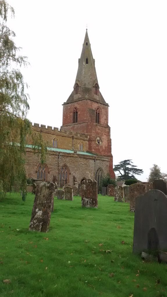
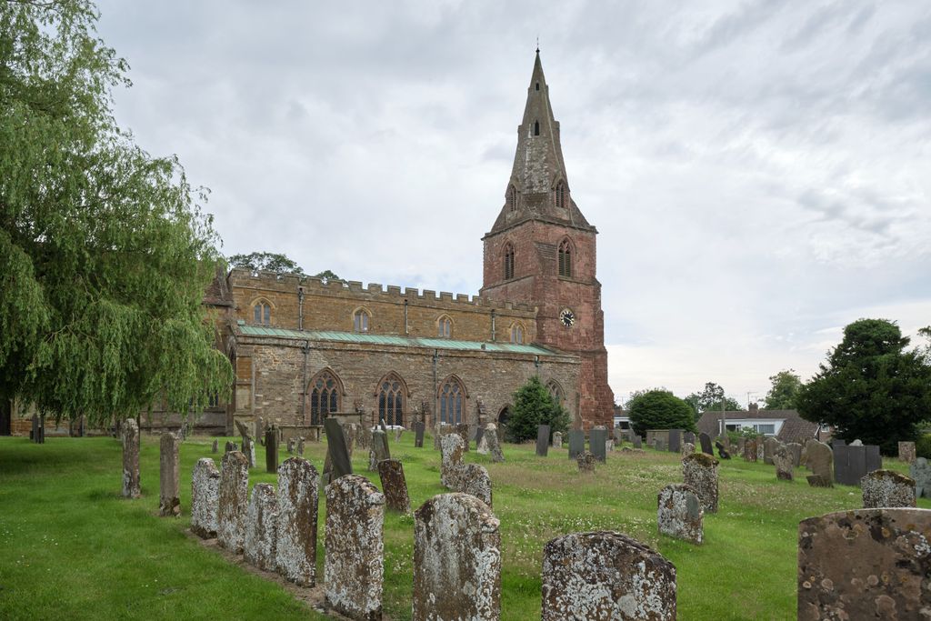
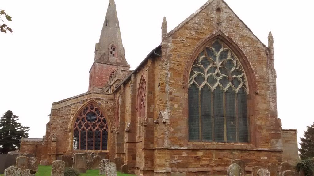
Where is St. Margaret Churchyard?
St. Margaret Churchyard is located at Church St. Crick, Daventry District ,Northamptonshire ,England.
-
St. Margaret Churchyard cemetery's updated grave count on graveviews.com?
1 memorials
-
Where are the coordinates of the St. Margaret Churchyard?
Latitude: 52.3476230
Longitude: -1.1378110
Nearby Cemetories:
1. Crick United Reformed Churchyard
Crick, Daventry District, England
Coordinate: 52.3469872, -1.1339944
2. A5 Watling Street Cemetery
Kilsby, Daventry District, England
Coordinate: 52.3363016, -1.1732250
3. St. Faith's Churchyard
Kilsby, Daventry District, England
Coordinate: 52.3356260, -1.1748520
4. Yelvertoft Cemetery
Yelvertoft, Daventry District, England
Coordinate: 52.3707000, -1.1153400
5. All Saints Churchyard
Yelvertoft, Daventry District, England
Coordinate: 52.3717866, -1.1164310
6. Yelvertoft Independent Chapel Churchyard
Yelvertoft, Daventry District, England
Coordinate: 52.3736980, -1.1225680
7. St. Peter and St. Paul Churchyard
Watford, Daventry District, England
Coordinate: 52.3160210, -1.1163920
8. Watford Village Cemetery
Watford, Daventry District, England
Coordinate: 52.3168542, -1.1102416
9. St. Michael and All Angels Churchyard
Winwick, Daventry District, England
Coordinate: 52.3589063, -1.0820887
10. All Saints Churchyard
West Haddon, Daventry District, England
Coordinate: 52.3409590, -1.0764700
11. St. Andrew's Churchyard
Clay Coton, Daventry District, England
Coordinate: 52.3871456, -1.1290185
12. Blessed Virgin Mary and St Leodegarius Churchyard
Ashby St Ledgers, Daventry District, England
Coordinate: 52.3090000, -1.1606000
13. Greenhaven Woodland Burial Ground
Lilbourne, Daventry District, England
Coordinate: 52.3881390, -1.1545970
14. St Mary's Parish Church
Barby, Daventry District, England
Coordinate: 52.3279870, -1.2041410
15. Watts Lane Cemetery
Rugby, Rugby Borough, England
Coordinate: 52.3592560, -1.2133530
16. Lilbourne Burial Ground
Lilbourne, Daventry District, England
Coordinate: 52.3885400, -1.1792400
17. St. John's Baptist Churchyard
Hillmorton, Rugby Borough, England
Coordinate: 52.3659310, -1.2113290
18. All Saints Churchyard
Lilbourne, Daventry District, England
Coordinate: 52.3919370, -1.1778810
19. St. Lawrence Churchyard
Long Buckby, Daventry District, England
Coordinate: 52.3042680, -1.0815040
20. Welton Cemetery
Welton, Daventry District, England
Coordinate: 52.2932126, -1.1567336
21. St. Nicholas's Churchyard
Stanford-on-Avon, Daventry District, England
Coordinate: 52.4045020, -1.1359770
22. St Nicholas' Churchyard
Stanford on Avon, Harborough District, England
Coordinate: 52.4045560, -1.1362100
23. Long Buckby & Brington Baptist Church
Long Buckby, Daventry District, England
Coordinate: 52.3022756, -1.0804149
24. United Reformed Churchyard
Long Buckby, Daventry District, England
Coordinate: 52.3016430, -1.0793930