
| Memorials | : | 0 |
| Location | : | Watford, Daventry District, England |
| Website | : | watfordvillage.weebly.com/watford-cemetery.html |
| Coordinate | : | 52.3168542, -1.1102416 |
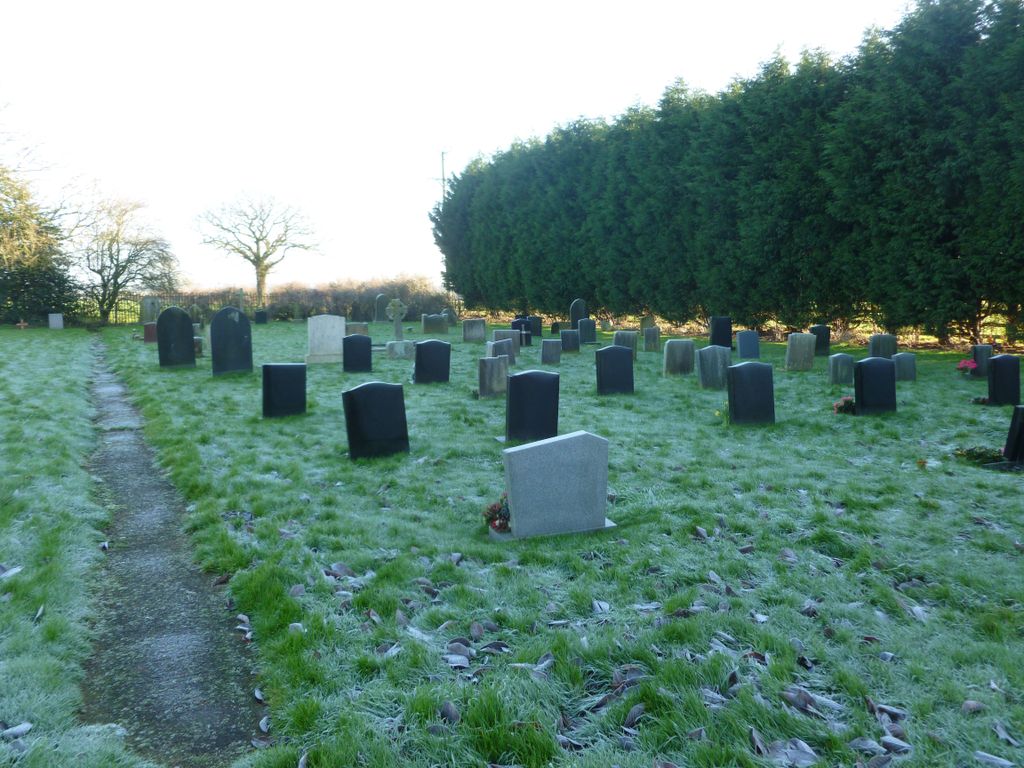
| Description | : | Watford Village's cemetery was opened in 1919 following the notice of closure of the churchyard at the church of St Peter & St Paul, - which eventually closed on the 3rd of December 1920. The peaceful gardens are located just outside of the village on the West Haddon Road and currently house over 200 burials or cremated remains. |
frequently asked questions (FAQ):
-
Where is Watford Village Cemetery?
Watford Village Cemetery is located at West Haddon Road, Watford Village, Northamptonshire Watford, Daventry District ,Northamptonshire , NN67UNEngland.
-
Watford Village Cemetery cemetery's updated grave count on graveviews.com?
0 memorials
-
Where are the coordinates of the Watford Village Cemetery?
Latitude: 52.3168542
Longitude: -1.1102416
Nearby Cemetories:
1. St. Peter and St. Paul Churchyard
Watford, Daventry District, England
Coordinate: 52.3160210, -1.1163920
2. St. Lawrence Churchyard
Long Buckby, Daventry District, England
Coordinate: 52.3042680, -1.0815040
3. Long Buckby & Brington Baptist Church
Long Buckby, Daventry District, England
Coordinate: 52.3022756, -1.0804149
4. United Reformed Churchyard
Long Buckby, Daventry District, England
Coordinate: 52.3016430, -1.0793930
5. All Saints Churchyard
West Haddon, Daventry District, England
Coordinate: 52.3409590, -1.0764700
6. Blessed Virgin Mary and St Leodegarius Churchyard
Ashby St Ledgers, Daventry District, England
Coordinate: 52.3090000, -1.1606000
7. Crick United Reformed Churchyard
Crick, Daventry District, England
Coordinate: 52.3469872, -1.1339944
8. St. Margaret Churchyard
Crick, Daventry District, England
Coordinate: 52.3476230, -1.1378110
9. St. Martin's Churchyard
Welton, Daventry District, England
Coordinate: 52.2893100, -1.1494100
10. Welton Cemetery
Welton, Daventry District, England
Coordinate: 52.2932126, -1.1567336
11. A5 Watling Street Cemetery
Kilsby, Daventry District, England
Coordinate: 52.3363016, -1.1732250
12. St. Faith's Churchyard
Kilsby, Daventry District, England
Coordinate: 52.3356260, -1.1748520
13. St. Michael and All Angels Churchyard
Winwick, Daventry District, England
Coordinate: 52.3589063, -1.0820887
14. St. Andrew Churchyard
Whilton, Daventry District, England
Coordinate: 52.2776040, -1.0683450
15. All Saints Churchyard
Norton, Daventry District, England
Coordinate: 52.2681250, -1.1180030
16. Yelvertoft Cemetery
Yelvertoft, Daventry District, England
Coordinate: 52.3707000, -1.1153400
17. East Haddon Churchyard
East Haddon, Daventry District, England
Coordinate: 52.3076000, -1.0224800
18. All Saints Churchyard
Yelvertoft, Daventry District, England
Coordinate: 52.3717866, -1.1164310
19. St Denys' Church
Northampton Borough, England
Coordinate: 52.3271318, -1.0182438
20. Yelvertoft Independent Chapel Churchyard
Yelvertoft, Daventry District, England
Coordinate: 52.3736980, -1.1225680
21. St Mary's Parish Church
Barby, Daventry District, England
Coordinate: 52.3279870, -1.2041410
22. Welton Road Daventry
Daventry, Daventry District, England
Coordinate: 52.2643510, -1.1590460
23. St Mary the Virgin with St John Churchyard
Great Brington, Daventry District, England
Coordinate: 52.2810470, -1.0235660
24. All Saints Churchyard
Braunston, Daventry District, England
Coordinate: 52.2908200, -1.2140100