
| Memorials | : | 36 |
| Location | : | Froxfield, East Hampshire District, England |
| Coordinate | : | 51.0338380, -0.9855080 |
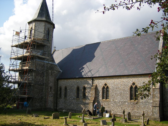
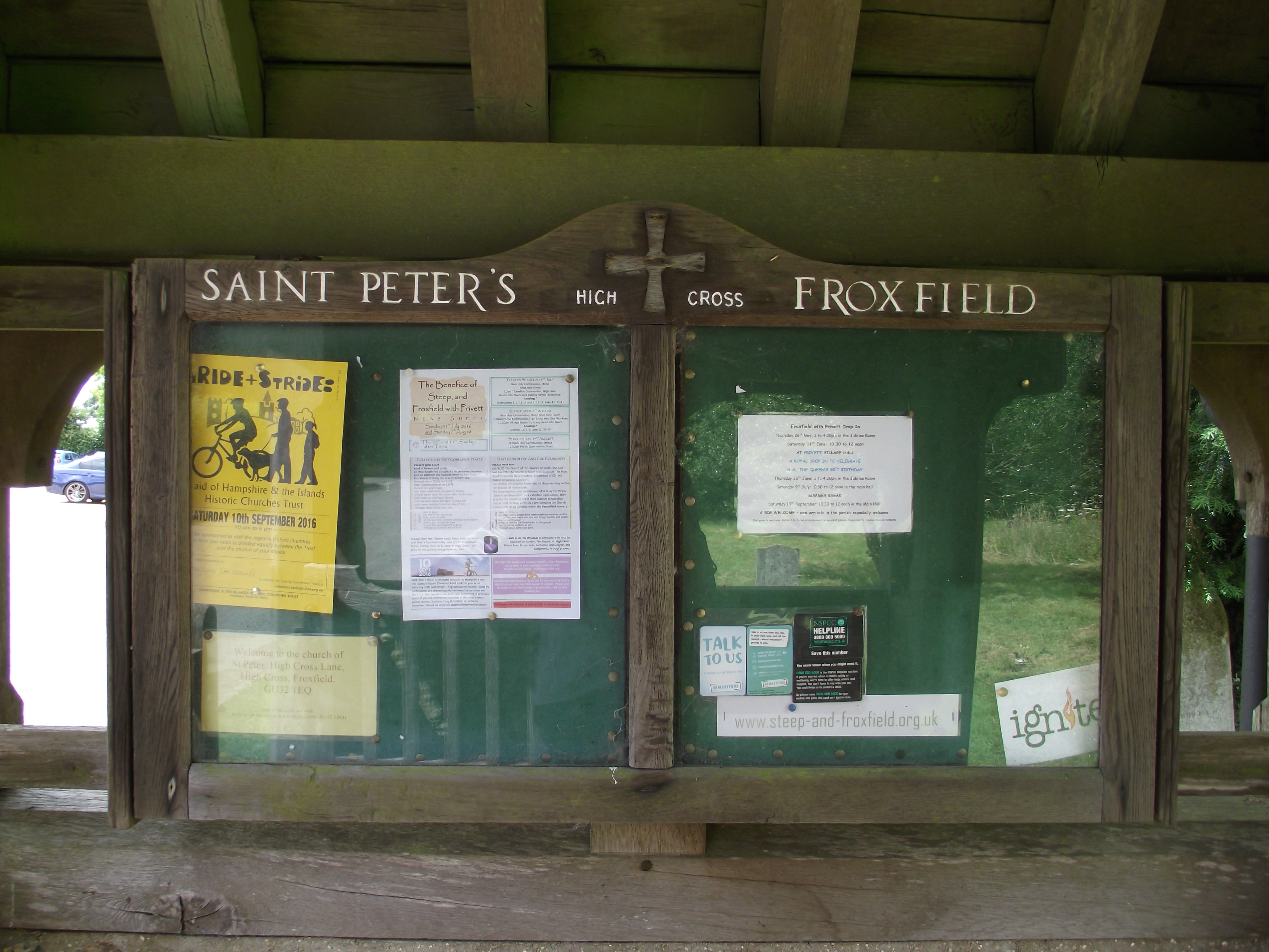
| Description | : | St. Peter's Church, High Cross, Froxfield is the listed parish church and was built in 1862 after the original Norman parish church at Froxfield Green was demolished in 1860. It contains the Norman pillars from the previous church and is surrounded by its churchyard. Like St. Peter's Froxfield Green the church has a full set of embroidered kneelers which commemorate many village scenes and personalities. The church is kept unlocked during daylight hours. |
frequently asked questions (FAQ):
-
Where is St Peter Churchyard?
St Peter Churchyard is located at High Cross Lane Froxfield, East Hampshire District ,Hampshire , GU32England.
-
St Peter Churchyard cemetery's updated grave count on graveviews.com?
36 memorials
-
Where are the coordinates of the St Peter Churchyard?
Latitude: 51.0338380
Longitude: -0.9855080
Nearby Cemetories:
1. St. Peter-on-the-Green Churchyard
Froxfield, East Hampshire District, England
Coordinate: 51.0247600, -0.9978400
2. St John the Evangelist Churchyard
Langrish, East Hampshire District, England
Coordinate: 51.0088997, -0.9950000
3. Priors Dean Churchyard
Priors Dean, East Hampshire District, England
Coordinate: 51.0611725, -0.9627250
4. All Saints Churchyard
Steep, East Hampshire District, England
Coordinate: 51.0225500, -0.9379500
5. Holy Trinity Churchyard
Privett, East Hampshire District, England
Coordinate: 51.0381800, -1.0366000
6. St. Peter and St. Paul's Churchyard
Hawkley, East Hampshire District, England
Coordinate: 51.0569000, -0.9374400
7. St Lawrence Roman Catholic Church
Petersfield, East Hampshire District, England
Coordinate: 51.0069170, -0.9395500
8. Petersfield Cemetery
Petersfield, East Hampshire District, England
Coordinate: 51.0096893, -0.9325990
9. St Peter Churchyard
Petersfield, East Hampshire District, England
Coordinate: 51.0031000, -0.9372700
10. All Saints Churchyard
East Meon, East Hampshire District, England
Coordinate: 50.9958850, -1.0314850
11. St. James' Churchyard
East Tisted, East Hampshire District, England
Coordinate: 51.0853500, -1.0002000
12. West Liss Cemetery
Liss, East Hampshire District, England
Coordinate: 51.0518102, -0.9022678
13. St. Peter's Churchyard
Liss, East Hampshire District, England
Coordinate: 51.0521900, -0.9021700
14. Holy Rood Churchyard
Empshott, East Hampshire District, England
Coordinate: 51.0755690, -0.9257970
15. St Mary Churchyard
Newton Valence, East Hampshire District, England
Coordinate: 51.0901700, -0.9671400
16. St Mary Churchyard
Liss, East Hampshire District, England
Coordinate: 51.0453200, -0.8953100
17. St Mary Magdalene Churchyard
West Tisted, East Hampshire District, England
Coordinate: 51.0588180, -1.0736160
18. St. Mary the Virgin Churchyard
Buriton, East Hampshire District, England
Coordinate: 50.9747560, -0.9473080
19. Buriton Cemetery
Buriton, East Hampshire District, England
Coordinate: 50.9740300, -0.9494900
20. St John the Baptist Churchyard
Greatham, East Hampshire District, England
Coordinate: 51.0678810, -0.8973600
21. St John the Evangelist Churchyard
West Meon, City of Winchester, England
Coordinate: 51.0129080, -1.0894350
22. St Mary Churchyard
Selborne, East Hampshire District, England
Coordinate: 51.0985300, -0.9428850
23. South Downs Natural Burial Site
East Meon, East Hampshire District, England
Coordinate: 50.9672700, -1.0377840
24. Church in the Wood Churchyard
Bramdean, City of Winchester, England
Coordinate: 51.0589500, -1.0998100