
| Memorials | : | 163 |
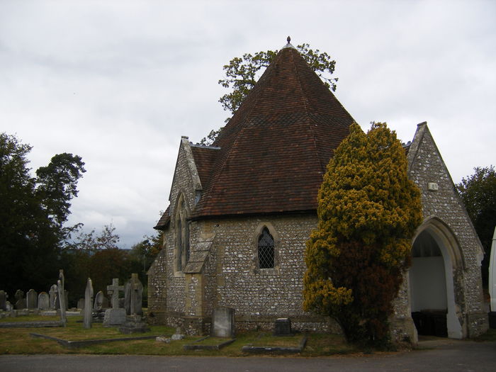
| Location | : | Petersfield, East Hampshire District, England |
| Coordinate | : | 51.0096893, -0.9325990 |
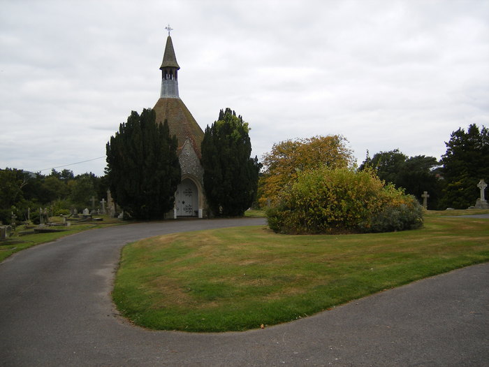
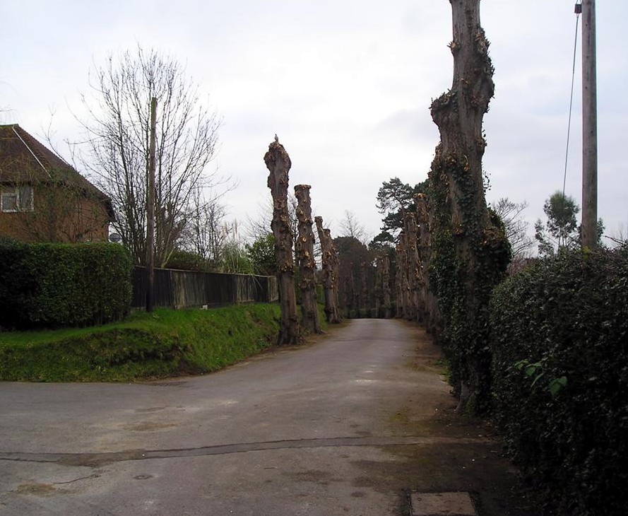
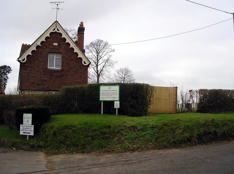
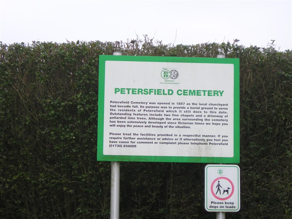
| Description | : | Opened in 1857. Operated by the East Hampshire District Council. |
frequently asked questions (FAQ):
-
Where is Petersfield Cemetery?
Petersfield Cemetery is located at Ramshill Petersfield, East Hampshire District ,Hampshire , GU31 4APEngland.
-
Petersfield Cemetery cemetery's updated grave count on graveviews.com?
15 memorials
-
Where are the coordinates of the Petersfield Cemetery?
Latitude: 51.0096893
Longitude: -0.9325990


Nearby Cemetories:
1. St Lawrence Roman Catholic Church
Petersfield, East Hampshire District, England
Coordinate: 51.0069170, -0.9395500
2. St Peter Churchyard
Petersfield, East Hampshire District, England
Coordinate: 51.0031000, -0.9372700
3. All Saints Churchyard
Steep, East Hampshire District, England
Coordinate: 51.0225500, -0.9379500
4. St. Mary the Virgin Churchyard
Buriton, East Hampshire District, England
Coordinate: 50.9747560, -0.9473080
5. Buriton Cemetery
Buriton, East Hampshire District, England
Coordinate: 50.9740300, -0.9494900
6. St John the Evangelist Churchyard
Langrish, East Hampshire District, England
Coordinate: 51.0088997, -0.9950000
7. St Peter Churchyard
Froxfield, East Hampshire District, England
Coordinate: 51.0338380, -0.9855080
8. St Mary Churchyard
Liss, East Hampshire District, England
Coordinate: 51.0453200, -0.8953100
9. St. Peter-on-the-Green Churchyard
Froxfield, East Hampshire District, England
Coordinate: 51.0247600, -0.9978400
10. West Liss Cemetery
Liss, East Hampshire District, England
Coordinate: 51.0518102, -0.9022678
11. St. Peter's Churchyard
Liss, East Hampshire District, England
Coordinate: 51.0521900, -0.9021700
12. St. Peter and St. Paul's Churchyard
Hawkley, East Hampshire District, England
Coordinate: 51.0569000, -0.9374400
13. St Mary and St Gabriel Churchyard
South Harting, Chichester District, England
Coordinate: 50.9687500, -0.8848000
14. St Mary and St Gabriel Churchyard
Harting, Chichester District, England
Coordinate: 50.9687680, -0.8845690
15. Dureford Abbey
Rogate, Chichester District, England
Coordinate: 51.0080000, -0.8510000
16. St. Bartholomew's Churchyard
Rogate, Chichester District, England
Coordinate: 51.0079500, -0.8503200
17. Priors Dean Churchyard
Priors Dean, East Hampshire District, England
Coordinate: 51.0611725, -0.9627250
18. St Peters Churchyard Terwick
Rogate, Chichester District, England
Coordinate: 51.0051950, -0.8357230
19. St John the Baptist Churchyard
Greatham, East Hampshire District, England
Coordinate: 51.0678810, -0.8973600
20. All Saints Churchyard
East Meon, East Hampshire District, England
Coordinate: 50.9958850, -1.0314850
21. Holy Rood Churchyard
Empshott, East Hampshire District, England
Coordinate: 51.0755690, -0.9257970
22. St. Paul's Churchyard
Elsted, Chichester District, England
Coordinate: 50.9720678, -0.8403674
23. Holy Trinity Churchyard
Privett, East Hampshire District, England
Coordinate: 51.0381800, -1.0366000
24. St Michael and All Angels Churchyard
Chalton, East Hampshire District, England
Coordinate: 50.9388750, -0.9602010