
| Memorials | : | 0 |
| Location | : | Stutton, Babergh District, England |
| Coordinate | : | 51.9665950, 1.1452040 |
frequently asked questions (FAQ):
-
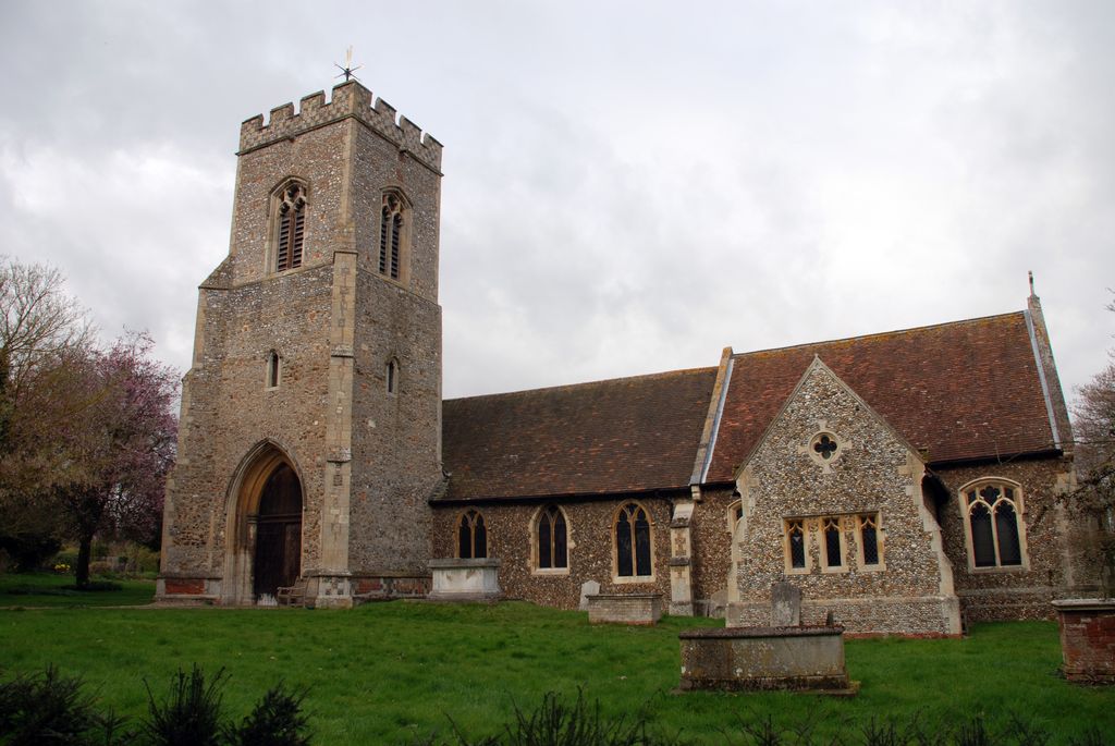
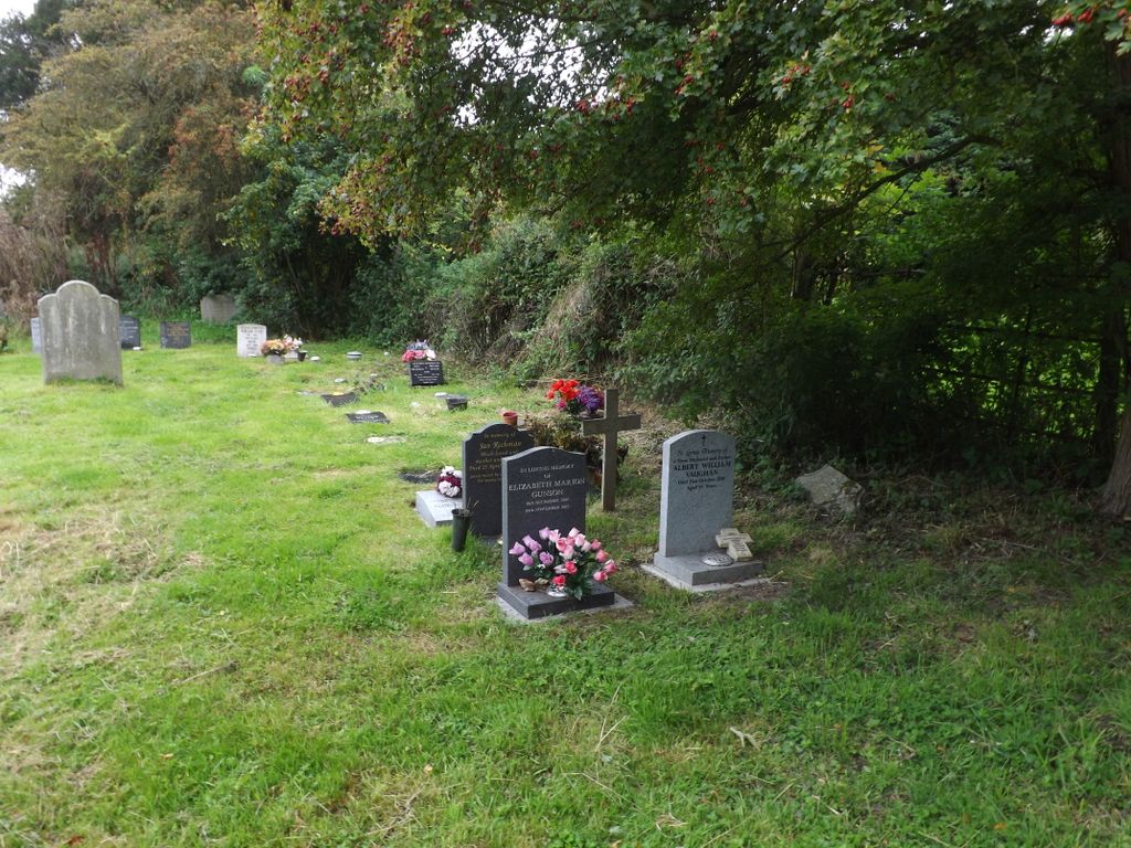
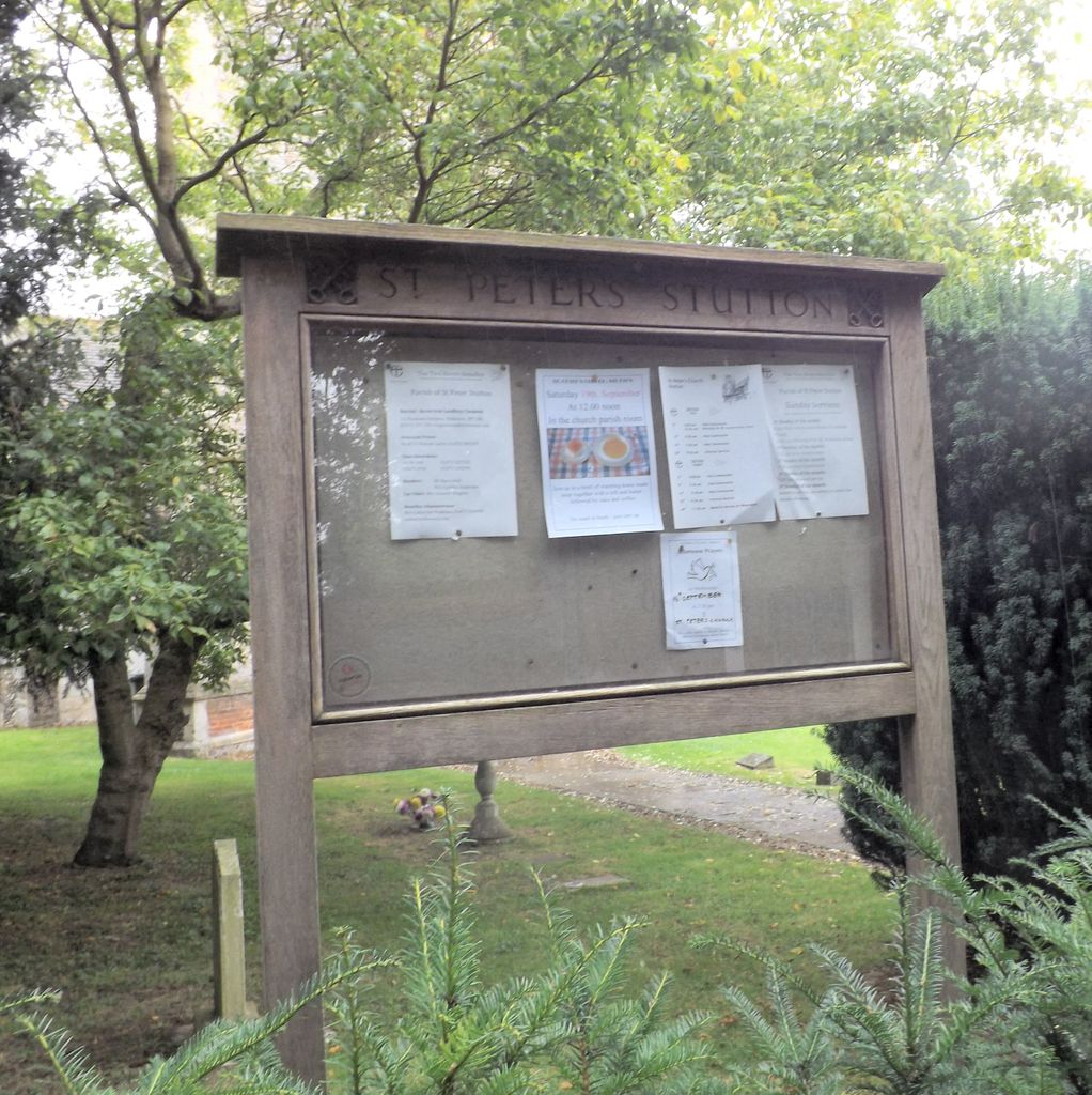
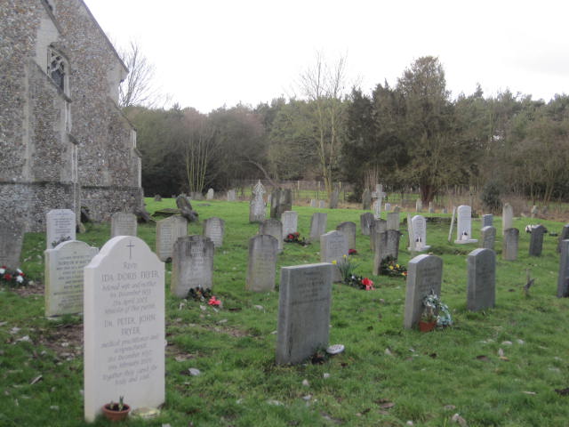
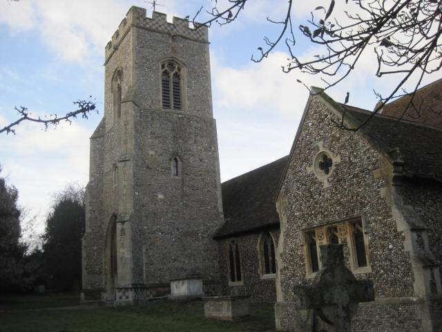
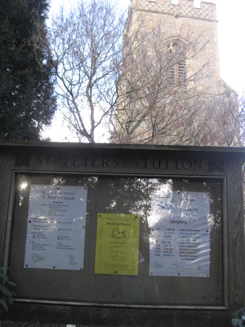
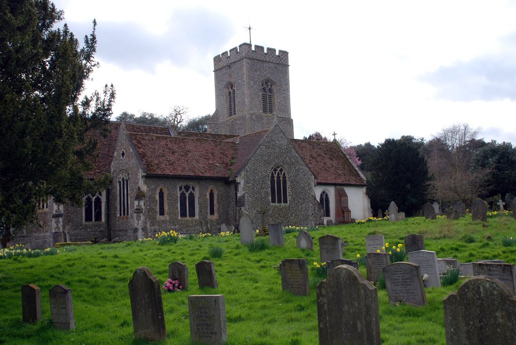
Where is St Peter Churchyard?
St Peter Churchyard is located at Stutton Green Stutton, Babergh District ,Suffolk , IP9 2SDEngland.
-
St Peter Churchyard cemetery's updated grave count on graveviews.com?
0 memorials
-
Where are the coordinates of the St Peter Churchyard?
Latitude: 51.9665950
Longitude: 1.1452040
Nearby Cemetories:
1. All Saints Churchyard
Holbrook, Babergh District, England
Coordinate: 51.9814290, 1.1589850
2. Oakfield Wood Burial Grounds
Wrabness, Tendring District, England
Coordinate: 51.9423870, 1.1536930
3. St Mary Churchyard
Harkstead, Babergh District, England
Coordinate: 51.9727040, 1.1932330
4. St Mary Churchyard
Tattingstone, Babergh District, England
Coordinate: 51.9915530, 1.1097690
5. Tattingstone Union Workhouse
Tattingstone, Babergh District, England
Coordinate: 51.9929950, 1.1109450
6. St Lawrence Churchyard
Bradfield, Tendring District, England
Coordinate: 51.9341710, 1.1179880
7. St Michael the Archangel Churchyard
Brantham, Babergh District, England
Coordinate: 51.9662000, 1.0733300
8. St Michael Churchyard
Woolverstone, Babergh District, England
Coordinate: 52.0024160, 1.1893820
9. St. Peter's Churchyard
Freston, Babergh District, England
Coordinate: 52.0109700, 1.1617200
10. St Andrew Churchyard
Chelmondiston, Babergh District, England
Coordinate: 51.9907400, 1.2097600
11. Mistley Towers
Mistley, Tendring District, England
Coordinate: 51.9460110, 1.0774110
12. Baptist Chapel's Burial Ground
Chelmondiston, Babergh District, England
Coordinate: 51.9898720, 1.2114610
13. St. Mary's Churchyard
Wix, Tendring District, England
Coordinate: 51.9180038, 1.1444474
14. Ss Mary & Michael Churchyard
Mistley, Tendring District, England
Coordinate: 51.9442000, 1.0736500
15. St Mary's Church Burial Ground - new
Bentley, Babergh District, England
Coordinate: 52.0011070, 1.0862490
16. St Mary's Church Burial Ground - old
Bentley, Babergh District, England
Coordinate: 52.0011990, 1.0849940
17. St Mary's Church
Erwarton (Arwarton), Babergh District, England
Coordinate: 51.9661220, 1.2315200
18. St. Mary's Churchyard
Wherstead, Babergh District, England
Coordinate: 52.0225920, 1.1488760
19. St. Michael and All Angels Churchyard
Ramsey, Tendring District, England
Coordinate: 51.9282100, 1.2252700
20. St Mary the Virgin Churchyard
Belstead, Babergh District, England
Coordinate: 52.0275230, 1.0983530
21. Great Oakley Cemetery
Great Oakley, Tendring District, England
Coordinate: 51.9021500, 1.1788900
22. All Saints Churchyard
Great Oakley, Tendring District, England
Coordinate: 51.9013700, 1.1781500
23. St Martin Churchyard
Nacton, Suffolk Coastal District, England
Coordinate: 52.0113690, 1.2295000
24. St Mary Churchyard
Shotley, Babergh District, England
Coordinate: 51.9776180, 1.2558960