
| Memorials | : | 26 |
| Location | : | Bradfield, Tendring District, England |
| Coordinate | : | 51.9341710, 1.1179880 |
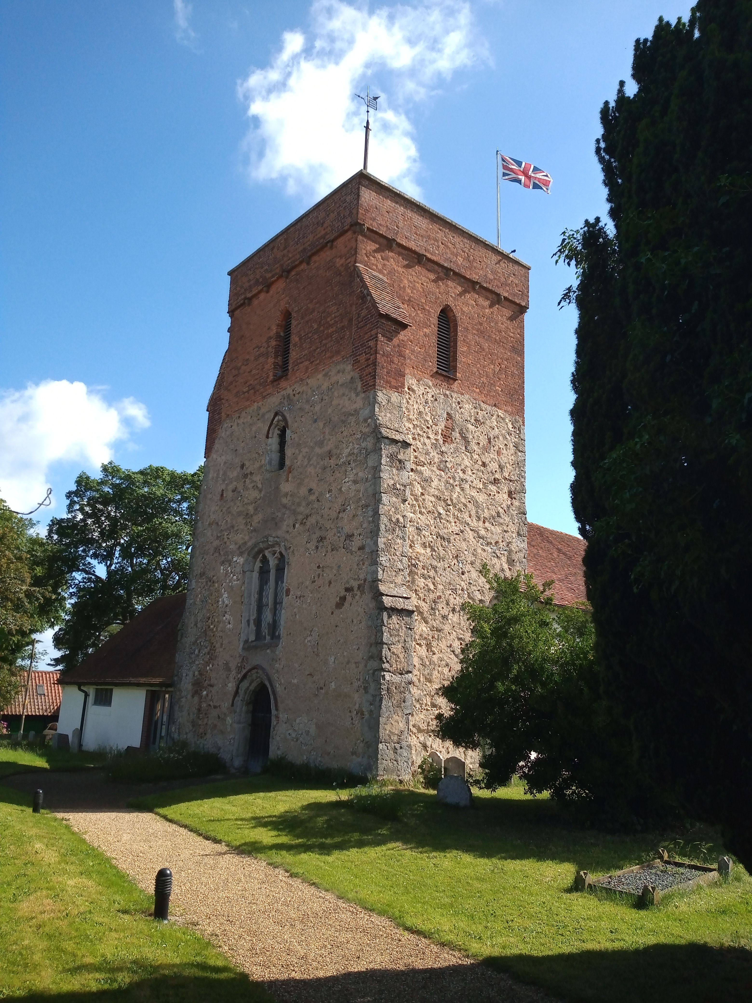
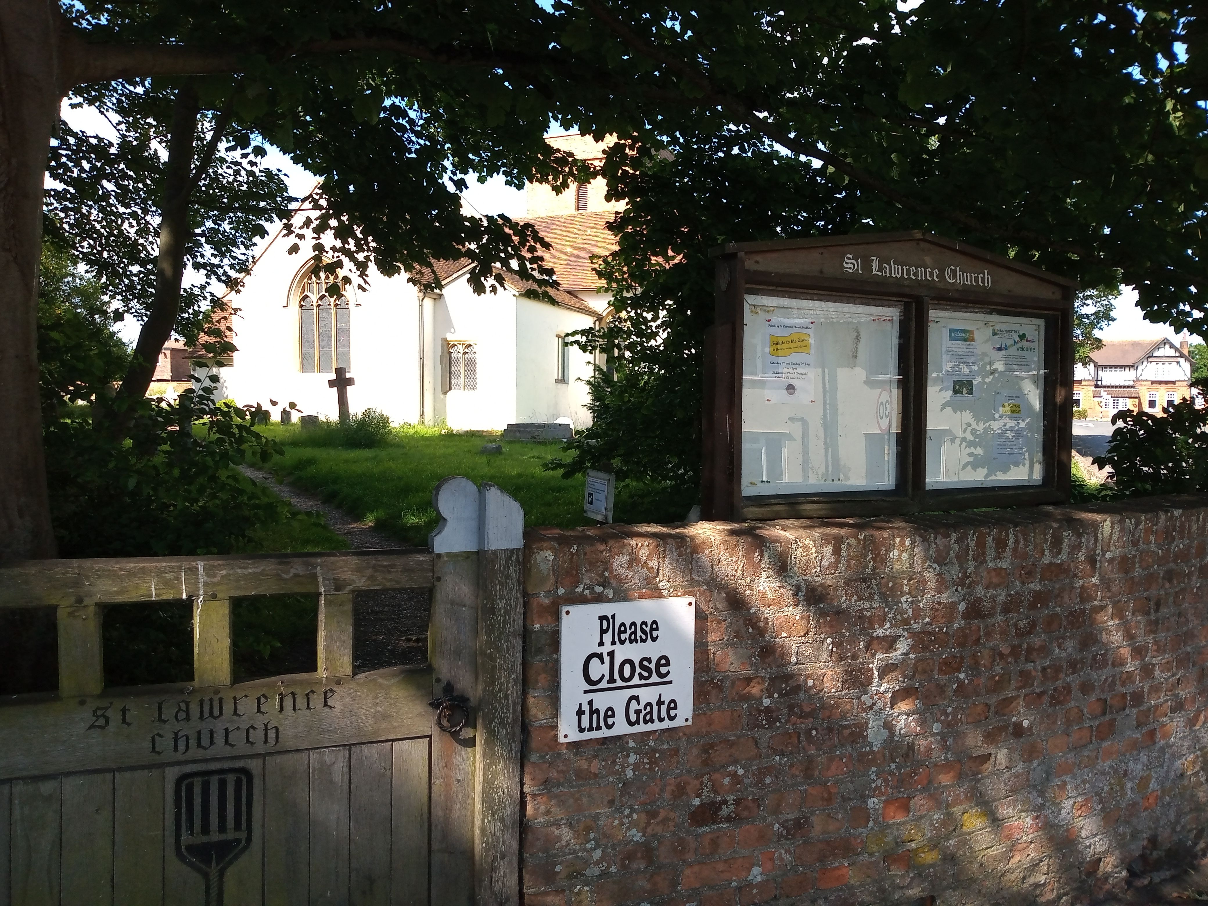
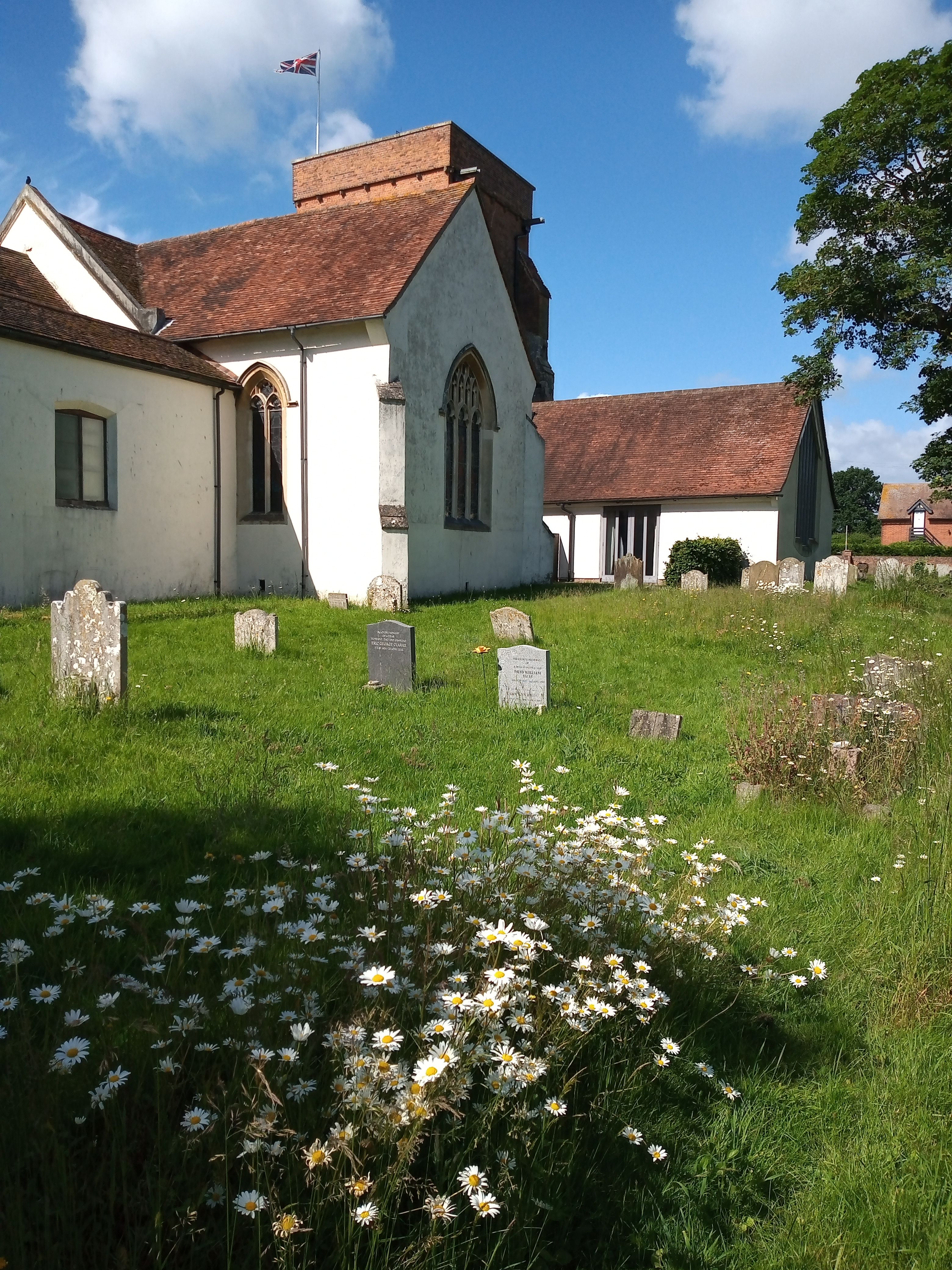
| Description | : | Bradfield is a village and civil parish close to the River Stour in Essex, England. It is located about five 3 miles east of Manningtree and is 31 miles northeast from the county town of Chelmsford. The village is in the district of Tendring. The 13th century Anglican church is dedicated to Saint Lawrence. One of the windows commemorates Edwin Harris Dunning, the first pilot to land an aircraft on a moving ship. He is buried in a wargrave with private memorial in the churchyard. |
frequently asked questions (FAQ):
-
Where is St Lawrence Churchyard?
St Lawrence Churchyard is located at The Street Bradfield, Tendring District ,Essex , CO11 2USEngland.
-
St Lawrence Churchyard cemetery's updated grave count on graveviews.com?
26 memorials
-
Where are the coordinates of the St Lawrence Churchyard?
Latitude: 51.9341710
Longitude: 1.1179880
Nearby Cemetories:
1. St. Mary's Churchyard
Wix, Tendring District, England
Coordinate: 51.9180038, 1.1444474
2. Oakfield Wood Burial Grounds
Wrabness, Tendring District, England
Coordinate: 51.9423870, 1.1536930
3. Mistley Towers
Mistley, Tendring District, England
Coordinate: 51.9460110, 1.0774110
4. Ss Mary & Michael Churchyard
Mistley, Tendring District, England
Coordinate: 51.9442000, 1.0736500
5. St Peter Churchyard
Stutton, Babergh District, England
Coordinate: 51.9665950, 1.1452040
6. St Michael the Archangel Churchyard
Brantham, Babergh District, England
Coordinate: 51.9662000, 1.0733300
7. Great Oakley Cemetery
Great Oakley, Tendring District, England
Coordinate: 51.9021500, 1.1788900
8. All Saints Churchyard
Great Oakley, Tendring District, England
Coordinate: 51.9013700, 1.1781500
9. All Saints Churchyard
Holbrook, Babergh District, England
Coordinate: 51.9814290, 1.1589850
10. St Mary the Virgin Churchyard
Little Bromley, Tendring District, England
Coordinate: 51.9095300, 1.0401700
11. St. Mary's Churchyard
Little Bentley, Tendring District, England
Coordinate: 51.8824400, 1.0823100
12. St Mary Churchyard
Tattingstone, Babergh District, England
Coordinate: 51.9915530, 1.1097690
13. Tattingstone Union Workhouse
Tattingstone, Babergh District, England
Coordinate: 51.9929950, 1.1109450
14. St. Edmund King and Martyr Churchyard
Tendring, Tendring District, England
Coordinate: 51.8749900, 1.1123400
15. St Mary Churchyard
Harkstead, Babergh District, England
Coordinate: 51.9727040, 1.1932330
16. St. Leonard's Churchyard
Beaumont, Tendring District, England
Coordinate: 51.8778500, 1.1656000
17. St. Michael and All Angels Churchyard
Ramsey, Tendring District, England
Coordinate: 51.9282100, 1.2252700
18. St Mary's Church Burial Ground - new
Bentley, Babergh District, England
Coordinate: 52.0011070, 1.0862490
19. St Mary's Church Burial Ground - old
Bentley, Babergh District, England
Coordinate: 52.0011990, 1.0849940
20. Franciscan Cemetery
East Bergholt, Babergh District, England
Coordinate: 51.9698890, 1.0148040
21. St. Mary the Virgin Churchyard
East Bergholt, Babergh District, England
Coordinate: 51.9699760, 1.0125630
22. Weeley Crematorium
Weeley, Tendring District, England
Coordinate: 51.8596020, 1.1097050
23. East Bergholt Congregational Churchyard
East Bergholt, Babergh District, England
Coordinate: 51.9716960, 1.0102980
24. St Mary's Church
Erwarton (Arwarton), Babergh District, England
Coordinate: 51.9661220, 1.2315200