
| Memorials | : | 0 |
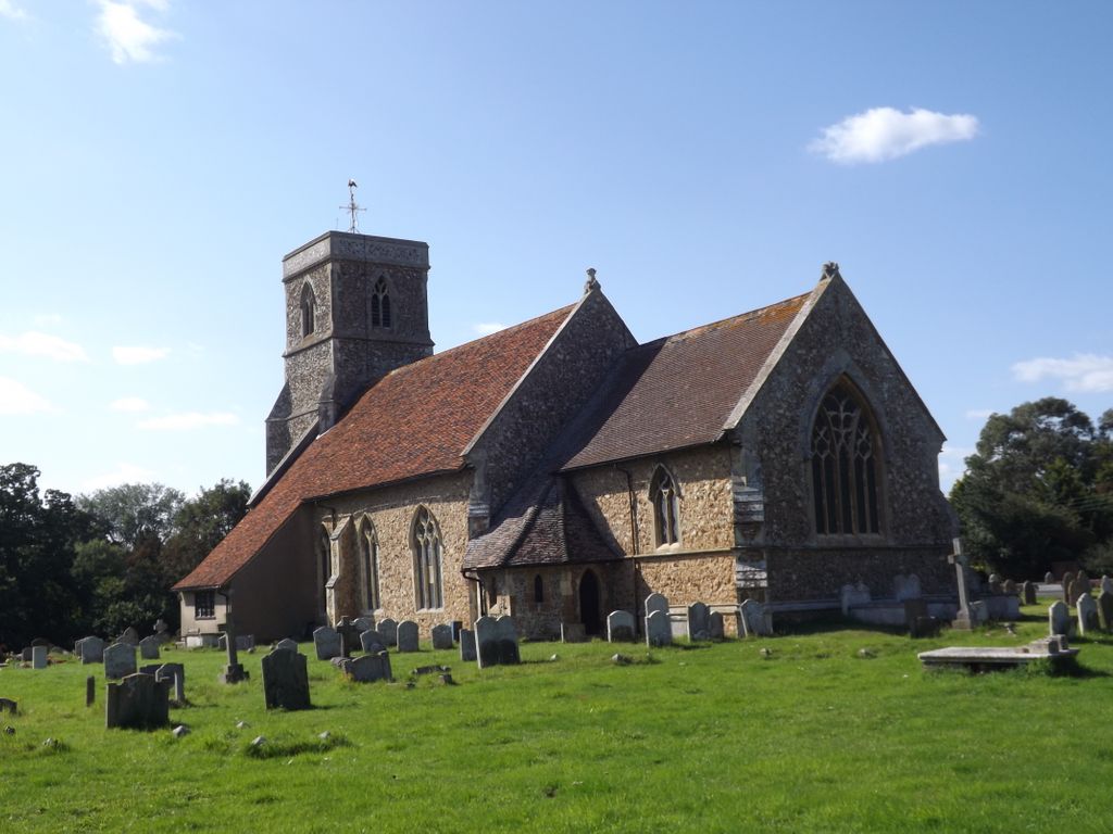
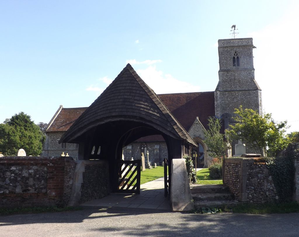
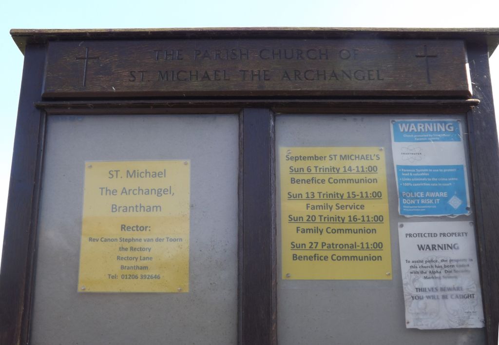
| Location | : | Brantham, Babergh District, England |
| Coordinate | : | 51.9662000, 1.0733300 |
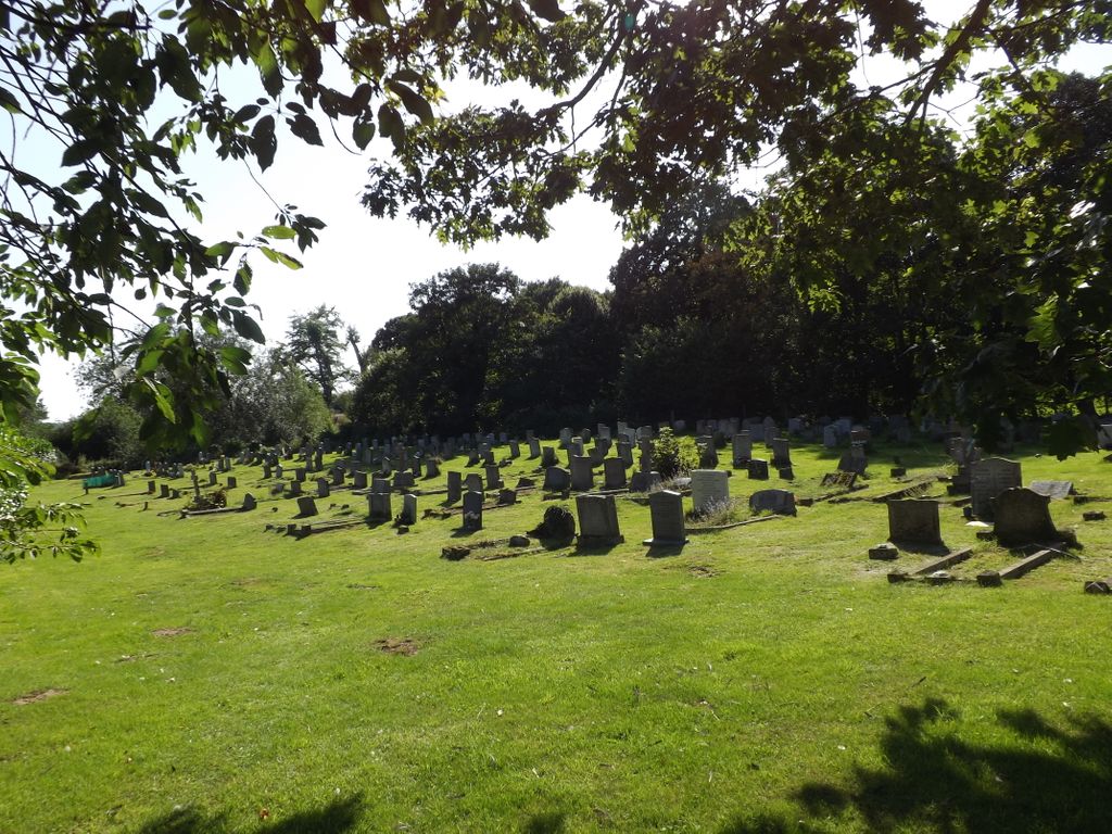
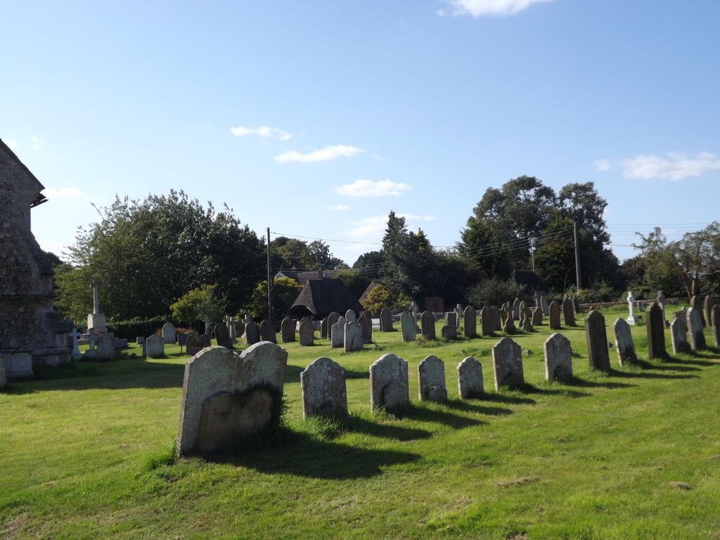
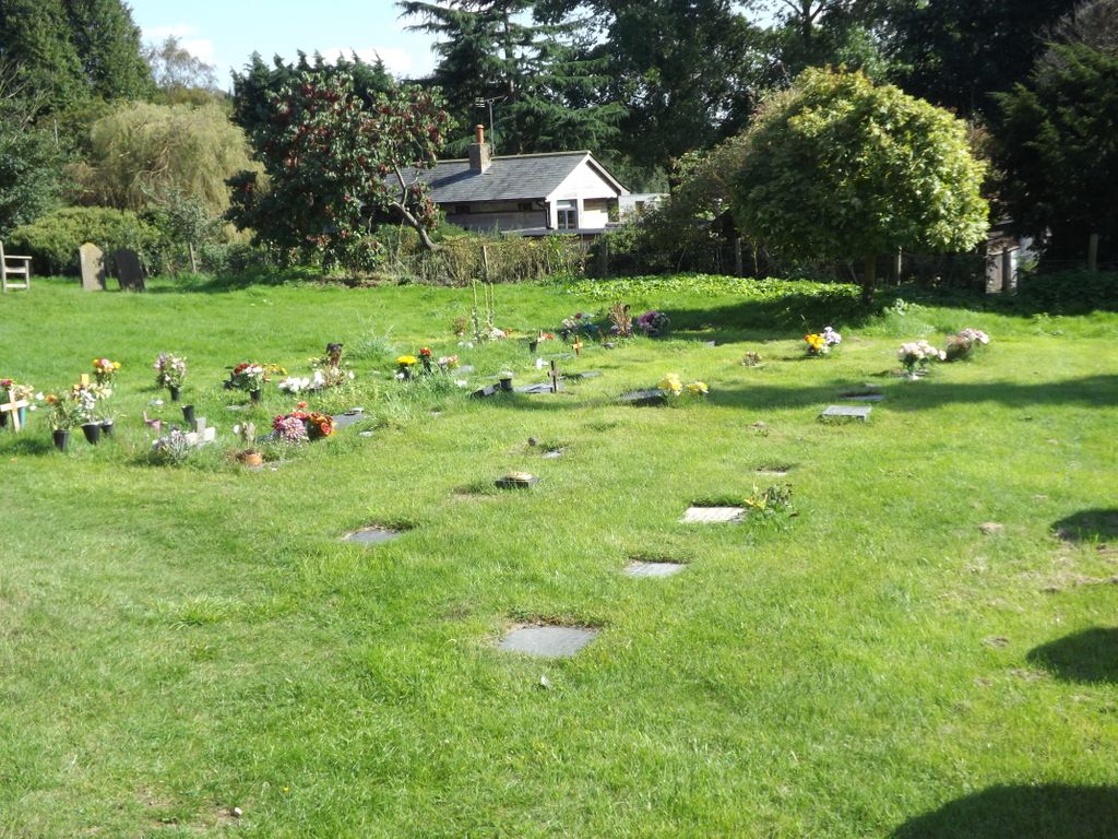
| Description | : | There is an extension churchyard to the right of the church. |
frequently asked questions (FAQ):
-
Where is St Michael the Archangel Churchyard?
St Michael the Archangel Churchyard is located at Church Lane Brantham, Babergh District ,Suffolk , CO11 1PZEngland.
-
St Michael the Archangel Churchyard cemetery's updated grave count on graveviews.com?
0 memorials
-
Where are the coordinates of the St Michael the Archangel Churchyard?
Latitude: 51.9662000
Longitude: 1.0733300
Nearby Cemetories:
1. Mistley Towers
Mistley, Tendring District, England
Coordinate: 51.9460110, 1.0774110
2. Ss Mary & Michael Churchyard
Mistley, Tendring District, England
Coordinate: 51.9442000, 1.0736500
3. St Mary Churchyard
Tattingstone, Babergh District, England
Coordinate: 51.9915530, 1.1097690
4. Tattingstone Union Workhouse
Tattingstone, Babergh District, England
Coordinate: 51.9929950, 1.1109450
5. St Mary's Church Burial Ground - old
Bentley, Babergh District, England
Coordinate: 52.0011990, 1.0849940
6. St Mary's Church Burial Ground - new
Bentley, Babergh District, England
Coordinate: 52.0011070, 1.0862490
7. Franciscan Cemetery
East Bergholt, Babergh District, England
Coordinate: 51.9698890, 1.0148040
8. St. Mary the Virgin Churchyard
East Bergholt, Babergh District, England
Coordinate: 51.9699760, 1.0125630
9. East Bergholt Congregational Churchyard
East Bergholt, Babergh District, England
Coordinate: 51.9716960, 1.0102980
10. East Bergholt Cemetery
East Bergholt, Babergh District, England
Coordinate: 51.9714670, 1.0086430
11. St Lawrence Churchyard
Bradfield, Tendring District, England
Coordinate: 51.9341710, 1.1179880
12. St Mary the Virgin Churchyard
Capel St Mary, Babergh District, England
Coordinate: 52.0034690, 1.0370820
13. St Peter Churchyard
Stutton, Babergh District, England
Coordinate: 51.9665950, 1.1452040
14. St. Mary the Virgin Churchyard
Dedham, Colchester Borough, England
Coordinate: 51.9586270, 0.9927610
15. St John Church
Great Wenham (Wenham Magna), Babergh District, England
Coordinate: 52.0029360, 1.0157390
16. St. Mary's Churchyard
Holton St Mary, Babergh District, England
Coordinate: 51.9911800, 0.9982800
17. All Saints Churchyard
Little Wenham (Wenham Parva), Babergh District, England
Coordinate: 52.0119000, 1.0309000
18. St Mary's Churchyard
Stratford St Mary, Babergh District, England
Coordinate: 51.9718250, 0.9862600
19. All Saints Churchyard
Holbrook, Babergh District, England
Coordinate: 51.9814290, 1.1589850
20. Oakfield Wood Burial Grounds
Wrabness, Tendring District, England
Coordinate: 51.9423870, 1.1536930
21. St Bartholomew's Church
Snarestone, North West Leicestershire District, England
Coordinate: 52.0000000, 1.0000000
22. St Mary the Virgin Churchyard
Little Bromley, Tendring District, England
Coordinate: 51.9095300, 1.0401700
23. St Mary the Virgin Churchyard
Belstead, Babergh District, England
Coordinate: 52.0275230, 1.0983530
24. St. Mary's Churchyard
Wix, Tendring District, England
Coordinate: 51.9180038, 1.1444474