
| Memorials | : | 4 |
| Location | : | Fort-Coulonge, Outaouais Region, Canada |
| Coordinate | : | 45.8415370, -76.7383550 |
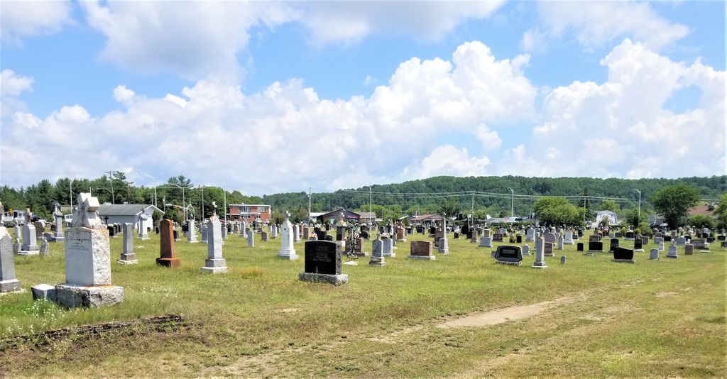
| Description | : | This cemetery is located in Fort Coulonge, Mansfield Township, Pontiac County, in the province of Quebec. |
frequently asked questions (FAQ):
-
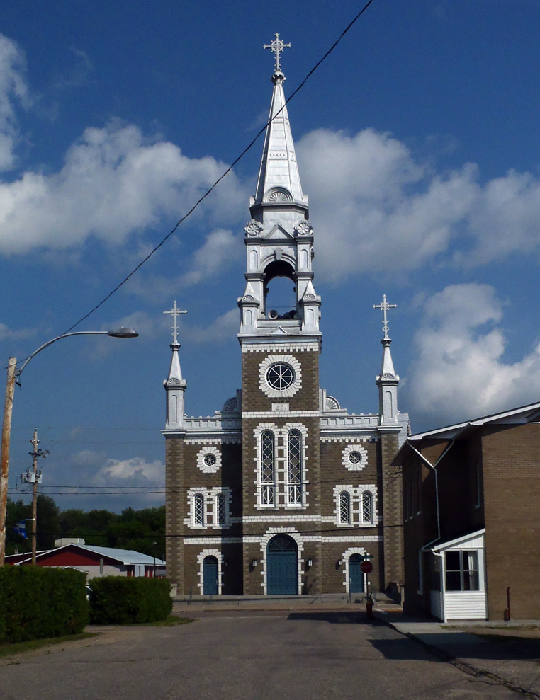
Where is St. Pierre's Roman Catholic Cemetery?
St. Pierre's Roman Catholic Cemetery is located at 529 rue Baume Fort-Coulonge, Outaouais Region ,Quebec , J0X 1V0Canada.
-
St. Pierre's Roman Catholic Cemetery cemetery's updated grave count on graveviews.com?
4 memorials
-
Where are the coordinates of the St. Pierre's Roman Catholic Cemetery?
Latitude: 45.8415370
Longitude: -76.7383550


Nearby Cemetories:
1. Ste. Kateri Cemetery
Mansfield-et-Pontefract, Outaouais Region, Canada
Coordinate: 45.8568220, -76.7197940
2. Our Lady Of Mount Carmel Roman Catholic Cemetery
Westmeath, Renfrew County, Canada
Coordinate: 45.8133060, -76.7716770
3. Saint Elizabeth of Hungary RC Cemetery
Vinton, Outaouais Region, Canada
Coordinate: 45.7855100, -76.6114500
4. Dunraven United Church Cemetery
Dunraven, Outaouais Region, Canada
Coordinate: 45.7469270, -76.6679970
5. Westmeath Union Cemetery
Westmeath, Renfrew County, Canada
Coordinate: 45.8145470, -76.8879170
6. St-Antoine-des-Bois-Francs
Fort-Coulonge, Outaouais Region, Canada
Coordinate: 45.9587440, -76.7428480
7. St. John the Evangelist Cemetery
Campbell's Bay, Outaouais Region, Canada
Coordinate: 45.7494400, -76.6018300
8. Beachburg Union Cemetery
Beachburg, Renfrew County, Canada
Coordinate: 45.7300987, -76.8577194
9. St. Augustines Anglican
Westmeath, Renfrew County, Canada
Coordinate: 45.7306000, -76.8597000
10. St. Augustine Anglican Cemetery
Beachburg, Renfrew County, Canada
Coordinate: 45.7306000, -76.8597300
11. Ste-Anne Roman Catholic Cemetery
L'Île-du-Grand-Calumet, Outaouais Region, Canada
Coordinate: 45.7329770, -76.6124910
12. St. Andrew's United Cemetery
Campbell's Bay, Outaouais Region, Canada
Coordinate: 45.7244200, -76.5957900
13. Saint George's Anglican Church Cemetery
Campbell's Bay, Outaouais Region, Canada
Coordinate: 45.7240240, -76.5958660
14. Howard Cemetery
Foresters Falls, Renfrew County, Canada
Coordinate: 45.6787224, -76.7817764
15. Grace United Church Cemetery
Perretton, Renfrew County, Canada
Coordinate: 45.7556200, -76.9519100
16. St. Joseph's Roman Catholic Cemetery
Saint-Joseph, Outaouais Region, Canada
Coordinate: 45.8525000, -76.9905841
17. Immaculée Conception Cemetery
Bryson, Outaouais Region, Canada
Coordinate: 45.6775480, -76.6219680
18. Beachburg Mennonite Cemetery
Beachburg, Renfrew County, Canada
Coordinate: 45.6751052, -76.8551953
19. Beachburg Mennonite Cemetery
Cobden, Renfrew County, Canada
Coordinate: 45.6728430, -76.8527980
20. Bryson United Cemetery
Bryson, Outaouais Region, Canada
Coordinate: 45.6667250, -76.6203580
21. Saint Andrew's Presbyterian Cemetery
Kerr Line, Renfrew County, Canada
Coordinate: 45.6479200, -76.7433600
22. St-James Anglican Cemetery
Bryson, Outaouais Region, Canada
Coordinate: 45.6659470, -76.6201850
23. Craig's Methodist Cemetery
Greer Mount, Outaouais Region, Canada
Coordinate: 45.7730420, -76.4676550
24. Saint James' Anglican Cemetery
Otter Lake, Outaouais Region, Canada
Coordinate: 45.8392400, -76.4499370