
| Memorials | : | 4 |
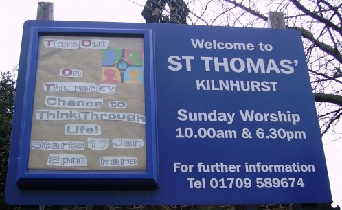
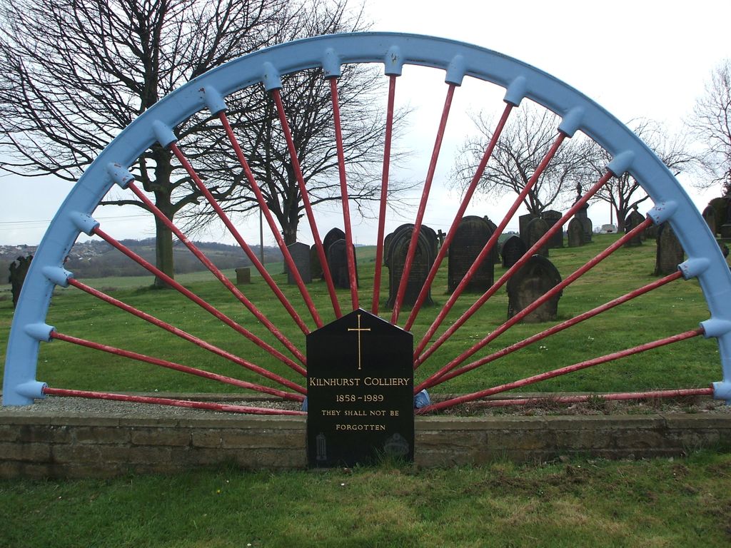
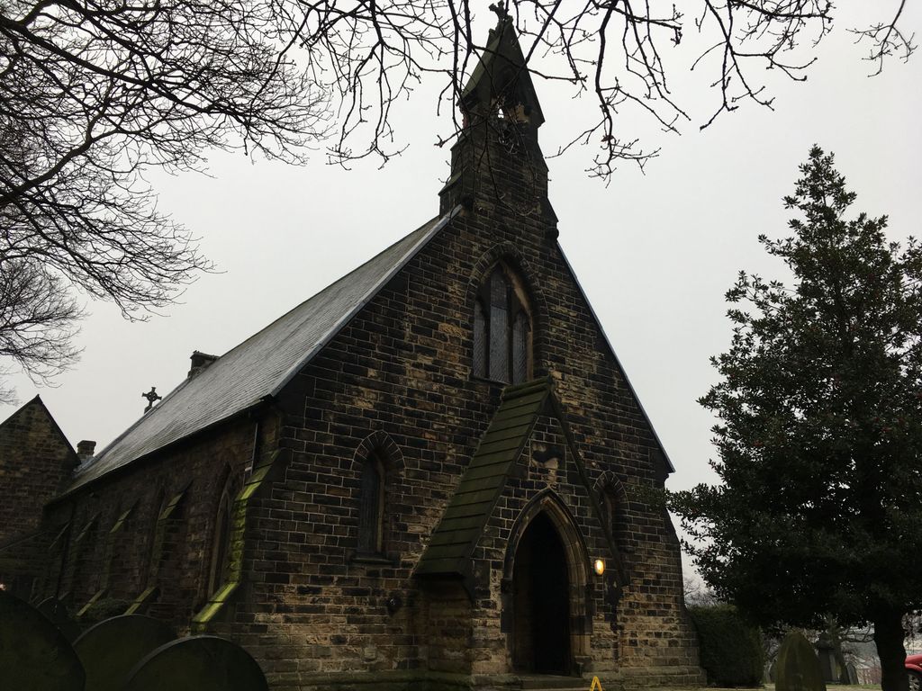
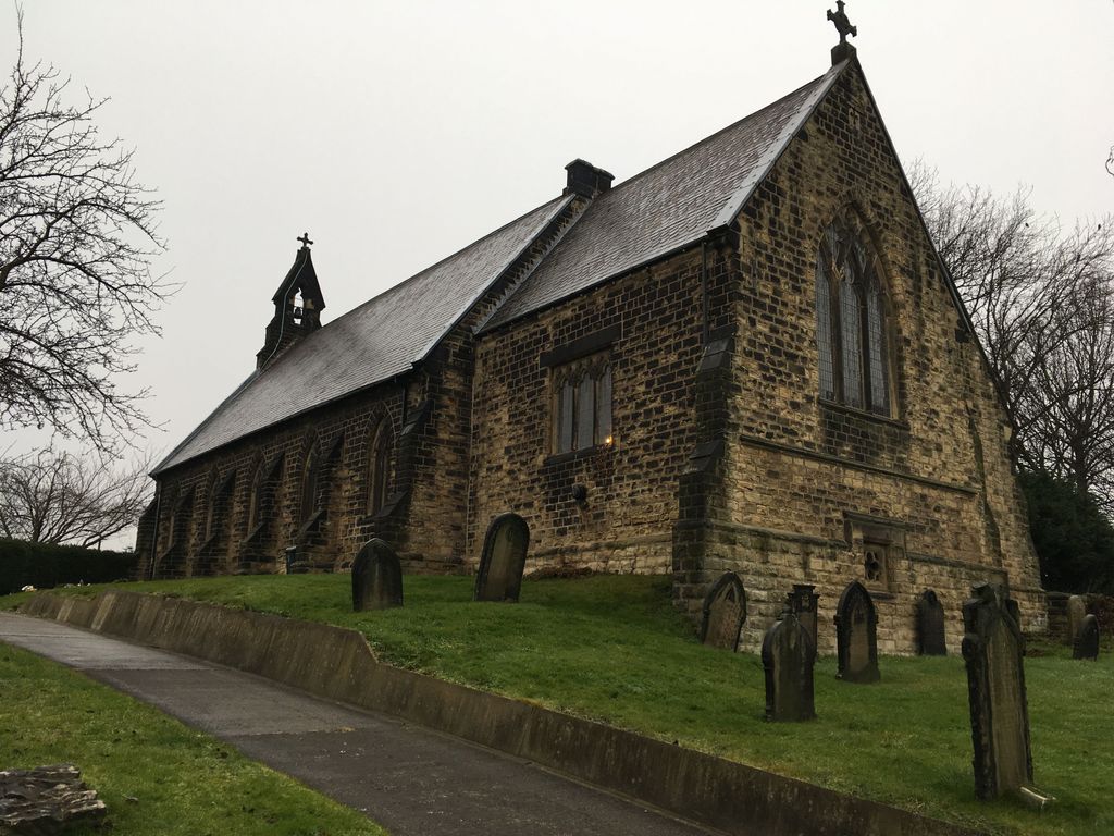
| Location | : | Kilnhurst, Metropolitan Borough of Rotherham, England |
| Coordinate | : | 53.4723700, -1.3072300 |
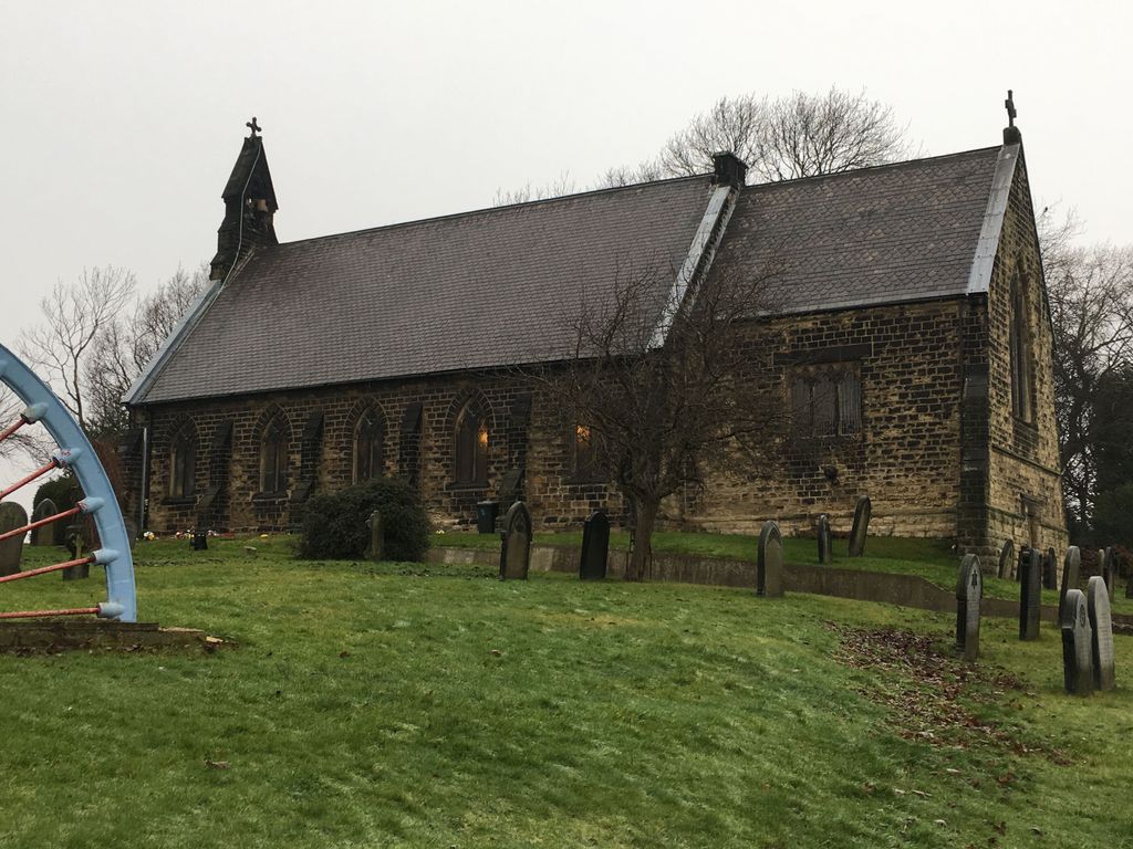
| Description | : | The parish church was opened in 1859. |
frequently asked questions (FAQ):
-
Where is St. Thomas' Churchyard Extension?
St. Thomas' Churchyard Extension is located at Highthorn Road Kilnhurst, Metropolitan Borough of Rotherham ,South Yorkshire , S64 5TXEngland.
-
St. Thomas' Churchyard Extension cemetery's updated grave count on graveviews.com?
1 memorials
-
Where are the coordinates of the St. Thomas' Churchyard Extension?
Latitude: 53.4723700
Longitude: -1.3072300


Nearby Cemetories:
1. Butterfields Memorial Garden
Swinton, Metropolitan Borough of Rotherham, England
Coordinate: 53.4876084, -1.3080726
2. St Margaret Churchyard
Swinton, Metropolitan Borough of Rotherham, England
Coordinate: 53.4890470, -1.3202140
3. St Leonard Old Churchyard
Thrybergh, Metropolitan Borough of Rotherham, England
Coordinate: 53.4540200, -1.2976200
4. St. Leonard New Churchyard
Thrybergh, Metropolitan Borough of Rotherham, England
Coordinate: 53.4533300, -1.2916900
5. St. John The Baptist Churchyard
Hooton Roberts, Metropolitan Borough of Rotherham, England
Coordinate: 53.4683831, -1.2718687
6. Rawmarsh Cemetery
Rawmarsh, Metropolitan Borough of Rotherham, England
Coordinate: 53.4658310, -1.3460880
7. Greasbrough Lane Cemetery
Rawmarsh, Metropolitan Borough of Rotherham, England
Coordinate: 53.4620370, -1.3462330
8. St. John The Baptist Churchyard
Mexborough, Metropolitan Borough of Doncaster, England
Coordinate: 53.4921040, -1.2783660
9. High Street Cemetery
Rawmarsh, Metropolitan Borough of Rotherham, England
Coordinate: 53.4587900, -1.3448100
10. Rawmarsh War Memorial
Rawmarsh, Metropolitan Borough of Rotherham, England
Coordinate: 53.4576880, -1.3450730
11. Mexborough Cemetery
Mexborough, Metropolitan Borough of Doncaster, England
Coordinate: 53.4995220, -1.2886400
12. Holy Trinity New Cemetery
Dalton, Metropolitan Borough of Rotherham, England
Coordinate: 53.4367969, -1.3129632
13. Wath-Upon-Dearne Cemetery
Wath-upon-Dearne, Metropolitan Borough of Rotherham, England
Coordinate: 53.4979410, -1.3505370
14. St. John the Baptist Churchyard
Adwick-on-Dearne, Metropolitan Borough of Doncaster, England
Coordinate: 53.5080520, -1.2924120
15. Denaby Cemetery
Denaby, Metropolitan Borough of Doncaster, England
Coordinate: 53.4871100, -1.2482200
16. All Saints Churchyard
Wath-upon-Dearne, Metropolitan Borough of Rotherham, England
Coordinate: 53.5028716, -1.3494516
17. Rotherham Crematorium
Rotherham, Metropolitan Borough of Rotherham, England
Coordinate: 53.4329310, -1.3149250
18. Rotherham Cholera Burial Ground
Rotherham, Metropolitan Borough of Rotherham, England
Coordinate: 53.4343420, -1.3313390
19. Conisbrough Cemetery
Conisbrough, Metropolitan Borough of Doncaster, England
Coordinate: 53.4753700, -1.2389800
20. Denaby Catholic Churchyard
Denaby, Metropolitan Borough of Doncaster, England
Coordinate: 53.4894970, -1.2446920
21. St Mary
Greasbrough, Metropolitan Borough of Rotherham, England
Coordinate: 53.4562120, -1.3717680
22. Christ Church Churchyard
Brampton Bierlow, Metropolitan Borough of Rotherham, England
Coordinate: 53.5031100, -1.3657400
23. St. Peter's Churchyard
Conisbrough, Metropolitan Borough of Doncaster, England
Coordinate: 53.4829890, -1.2296530
24. Bolton Cemetery
Bolton upon Dearne, Metropolitan Borough of Barnsley, England
Coordinate: 53.5209050, -1.3172860