
| Memorials | : | 4 |
| Location | : | Montrose, Henry County, USA |
| Coordinate | : | 38.3243484, -93.9667816 |
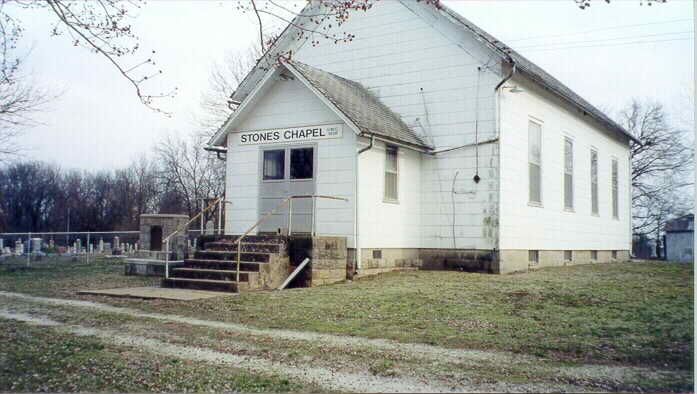
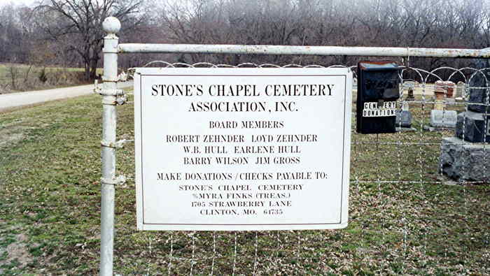
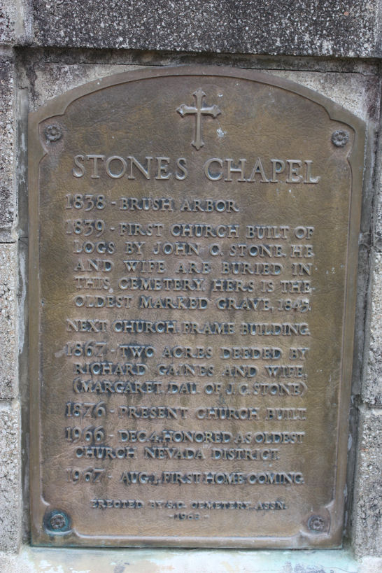
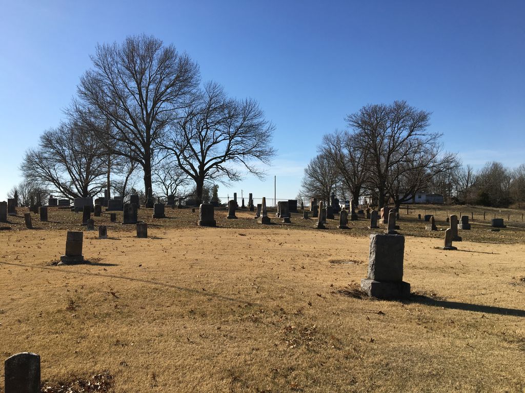
| Description | : | History: The land for Stone's Chapel Cemetery and Church was given by John C. Stone. The church and cemetery were named in his honor. He came to the SW part of Henry County with his family from North Carolina in an ox cart and settled 1839. The deed to the ground was made in 1867 by Richard F. and Margaret Stone Gaines to James T. Teays, W. F. Stone, James Harrison, Robert M. Gragg, Reuben T. Lindsey, James Wilson and James Sisson, Trustees. Margaret Stone Gaines was the daughter of John C. Stone. |
frequently asked questions (FAQ):
-
Where is Stone's Chapel Cemetery?
Stone's Chapel Cemetery is located at 1140 SW 320 Rd, Montrose, Henry County ,Missouri ,USA.
-
Stone's Chapel Cemetery cemetery's updated grave count on graveviews.com?
3 memorials
-
Where are the coordinates of the Stone's Chapel Cemetery?
Latitude: 38.3243484
Longitude: -93.9667816
Nearby Cemetories:
1. Hopewell Cemetery
Montrose, Henry County, USA
Coordinate: 38.3381004, -93.9718170
2. Vickers Cemetery
Montrose, Henry County, USA
Coordinate: 38.2921982, -93.9518967
3. Saint Ludger's Cemetery
Germantown, Henry County, USA
Coordinate: 38.2930450, -94.0252380
4. Saint Mary's Cemetery
Montrose, Henry County, USA
Coordinate: 38.2705320, -93.9932730
5. Bear Creek Cemetery
La Due, Henry County, USA
Coordinate: 38.2813200, -93.9018400
6. White Oak Cemetery
Lucas, Henry County, USA
Coordinate: 38.3721190, -94.0318270
7. Ladue Cemetery
La Due, Henry County, USA
Coordinate: 38.3144989, -93.8750000
8. Montrose Cemetery
Montrose, Henry County, USA
Coordinate: 38.2569008, -94.0038986
9. Fewel Cemetery
Henry County, USA
Coordinate: 38.3944016, -94.0113983
10. Hickory Grove Cemetery
White Oak Township, Henry County, USA
Coordinate: 38.4021988, -93.9781036
11. Montrose Mound Cemetery
Montrose, Henry County, USA
Coordinate: 38.2406150, -93.9805380
12. Johnstown Cemetery
Johnstown, Bates County, USA
Coordinate: 38.3098000, -94.0816000
13. Snodgrass Union Cemetery
Bates County, USA
Coordinate: 38.2583008, -94.0761032
14. Poage Cemetery
Bates County, USA
Coordinate: 38.3463800, -94.1021000
15. Dickison Cemetery
Bates County, USA
Coordinate: 38.2641300, -94.1032650
16. Fennewald Cemetery
Appleton City, St. Clair County, USA
Coordinate: 38.2080994, -94.0271988
17. Antioch Cemetery
Bates County, USA
Coordinate: 38.3100014, -94.1258011
18. Teays Chapel Cemetery
Deepwater, Henry County, USA
Coordinate: 38.2188200, -93.8753280
19. Mullin Cemetery
Urich, Henry County, USA
Coordinate: 38.4310989, -94.0588989
20. White Cemetery
Henry County, USA
Coordinate: 38.2501790, -93.8270190
21. Walnut Grove Cemetery
Ballard, Bates County, USA
Coordinate: 38.3460999, -94.1335983
22. Cove Creek Cemetery
Aaron, Bates County, USA
Coordinate: 38.4171982, -94.0947037
23. Fields Creek Cemetery
Clinton, Henry County, USA
Coordinate: 38.4039001, -93.8208008
24. Dunning Cemetery
Deepwater, Henry County, USA
Coordinate: 38.2728004, -93.7977982