
| Memorials | : | 0 |
| Location | : | Henry County, USA |
| Coordinate | : | 38.2501790, -93.8270190 |
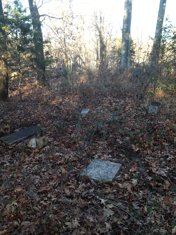
| Description | : | T40, R26, S20 - Fairview Township 801 SW Hwy F, Henry County, Missouri 7 known burials Landowner: Mr. Gieselman |
frequently asked questions (FAQ):
-
Where is White Cemetery?
White Cemetery is located at Henry County ,Missouri ,USA.
-
White Cemetery cemetery's updated grave count on graveviews.com?
0 memorials
-
Where are the coordinates of the White Cemetery?
Latitude: 38.2501790
Longitude: -93.8270190


Nearby Cemetories:
1. Dunning Cemetery
Deepwater, Henry County, USA
Coordinate: 38.2392006, -93.8125000
2. Dunning Cemetery
Deepwater, Henry County, USA
Coordinate: 38.2728004, -93.7977982
3. Deepwater Cemetery
Deepwater, Henry County, USA
Coordinate: 38.2453003, -93.7707977
4. Teays Chapel Cemetery
Deepwater, Henry County, USA
Coordinate: 38.2188200, -93.8753280
5. Shadrack Dunning Cemetery
Brownington, Henry County, USA
Coordinate: 38.2257996, -93.7556000
6. Bear Creek Cemetery
La Due, Henry County, USA
Coordinate: 38.2813200, -93.9018400
7. Ladue Cemetery
La Due, Henry County, USA
Coordinate: 38.3144989, -93.8750000
8. Valley Center Cemetery
Lowry City, St. Clair County, USA
Coordinate: 38.1958008, -93.7566986
9. Maplewood Cemetery
Brownington, Henry County, USA
Coordinate: 38.2336006, -93.7260971
10. Westfield Cemetery
St. Clair County, USA
Coordinate: 38.1707993, -93.8677979
11. Boles Family Cemetery
Henry County, USA
Coordinate: 38.2400000, -93.6952800
12. Bethlehem Cemetery
Henry County, USA
Coordinate: 38.3203316, -93.7258530
13. Vickers Cemetery
Montrose, Henry County, USA
Coordinate: 38.2921982, -93.9518967
14. Reid Cemetery
Clinton, Henry County, USA
Coordinate: 38.3403390, -93.7422580
15. Montrose Mound Cemetery
Montrose, Henry County, USA
Coordinate: 38.2406150, -93.9805380
16. Oak Grove Cemetery
Clinton, Henry County, USA
Coordinate: 38.3678017, -93.7844009
17. Park Grove Cemetery
Lowry City, St. Clair County, USA
Coordinate: 38.1755981, -93.7005997
18. Englewood Cemetery
Clinton, Henry County, USA
Coordinate: 38.3624992, -93.7438965
19. Dunning Cemetery
Clinton, Henry County, USA
Coordinate: 38.3636703, -93.7436218
20. Saint Mary's Cemetery
Montrose, Henry County, USA
Coordinate: 38.2705320, -93.9932730
21. Stone's Chapel Cemetery
Montrose, Henry County, USA
Coordinate: 38.3243484, -93.9667816
22. Harmony Church Cemetery
St. Clair County, USA
Coordinate: 38.1249199, -93.8898163
23. Lowry City Cemetery
Lowry City, St. Clair County, USA
Coordinate: 38.1342010, -93.7394028
24. Terry Cemetery
St. Clair County, USA
Coordinate: 38.1161003, -93.8478012