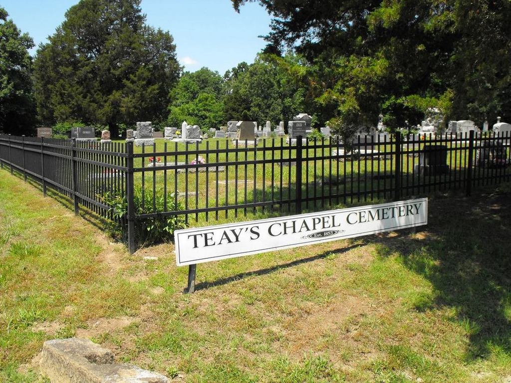
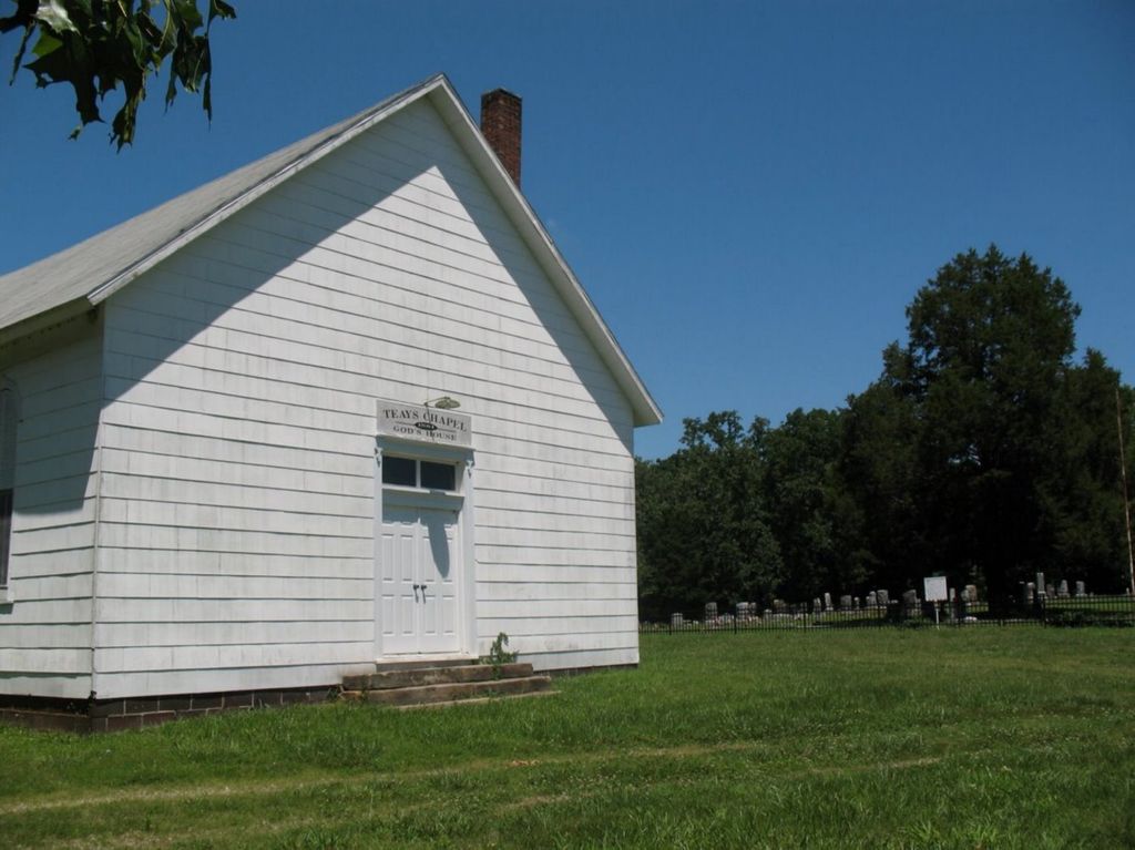
| Memorials | : | 8 |
| Location | : | Deepwater, Henry County, USA |
| Coordinate | : | 38.2188200, -93.8753280 |
frequently asked questions (FAQ):
-
Where is Teays Chapel Cemetery?
Teays Chapel Cemetery is located at Deepwater, Henry County ,Missouri ,USA.
-
Teays Chapel Cemetery cemetery's updated grave count on graveviews.com?
8 memorials
-
Where are the coordinates of the Teays Chapel Cemetery?
Latitude: 38.2188200
Longitude: -93.8753280
Nearby Cemetories:
1. Westfield Cemetery
St. Clair County, USA
Coordinate: 38.1707993, -93.8677979
2. White Cemetery
Henry County, USA
Coordinate: 38.2501790, -93.8270190
3. Dunning Cemetery
Deepwater, Henry County, USA
Coordinate: 38.2392006, -93.8125000
4. Bear Creek Cemetery
La Due, Henry County, USA
Coordinate: 38.2813200, -93.9018400
5. Dunning Cemetery
Deepwater, Henry County, USA
Coordinate: 38.2728004, -93.7977982
6. Montrose Mound Cemetery
Montrose, Henry County, USA
Coordinate: 38.2406150, -93.9805380
7. Deepwater Cemetery
Deepwater, Henry County, USA
Coordinate: 38.2453003, -93.7707977
8. Shadrack Dunning Cemetery
Brownington, Henry County, USA
Coordinate: 38.2257996, -93.7556000
9. Harmony Church Cemetery
St. Clair County, USA
Coordinate: 38.1249199, -93.8898163
10. Vickers Cemetery
Montrose, Henry County, USA
Coordinate: 38.2921982, -93.9518967
11. Ladue Cemetery
La Due, Henry County, USA
Coordinate: 38.3144989, -93.8750000
12. Valley Center Cemetery
Lowry City, St. Clair County, USA
Coordinate: 38.1958008, -93.7566986
13. Terry Cemetery
St. Clair County, USA
Coordinate: 38.1161003, -93.8478012
14. Saint Mary's Cemetery
Montrose, Henry County, USA
Coordinate: 38.2705320, -93.9932730
15. Lewellen Cemetery
St. Clair County, USA
Coordinate: 38.1119003, -93.8767014
16. Montrose Cemetery
Montrose, Henry County, USA
Coordinate: 38.2569008, -94.0038986
17. Kidds Chapel Cemetery
Lowry City, St. Clair County, USA
Coordinate: 38.1077385, -93.8281708
18. Maplewood Cemetery
Brownington, Henry County, USA
Coordinate: 38.2336006, -93.7260971
19. Fennewald Cemetery
Appleton City, St. Clair County, USA
Coordinate: 38.2080994, -94.0271988
20. Concord Cemetery
St. Clair County, USA
Coordinate: 38.1184502, -93.7816925
21. Appleton City Cemetery
Appleton City, St. Clair County, USA
Coordinate: 38.1747017, -94.0235977
22. Stone's Chapel Cemetery
Montrose, Henry County, USA
Coordinate: 38.3243484, -93.9667816
23. Bean Cemetery
Appleton City, St. Clair County, USA
Coordinate: 38.0960999, -93.9325027
24. Lowry City Cemetery
Lowry City, St. Clair County, USA
Coordinate: 38.1342010, -93.7394028


