
| Memorials | : | 0 |
| Location | : | Asheboro, Randolph County, USA |
| Coordinate | : | 35.5598130, -79.9326330 |
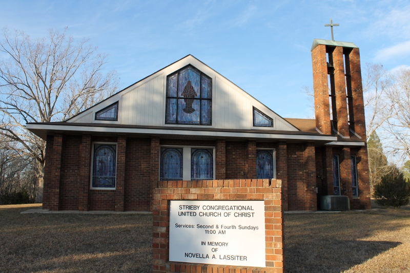
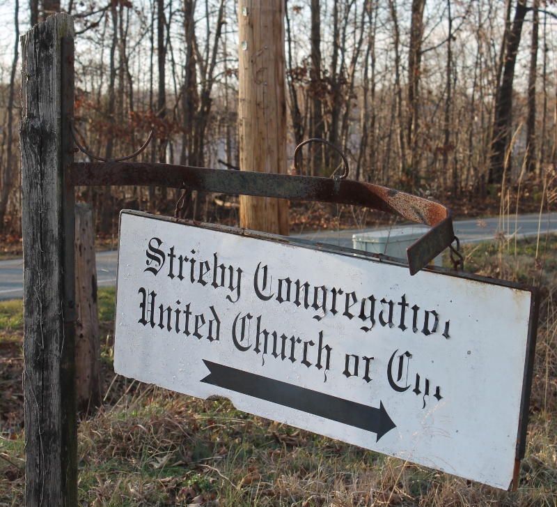
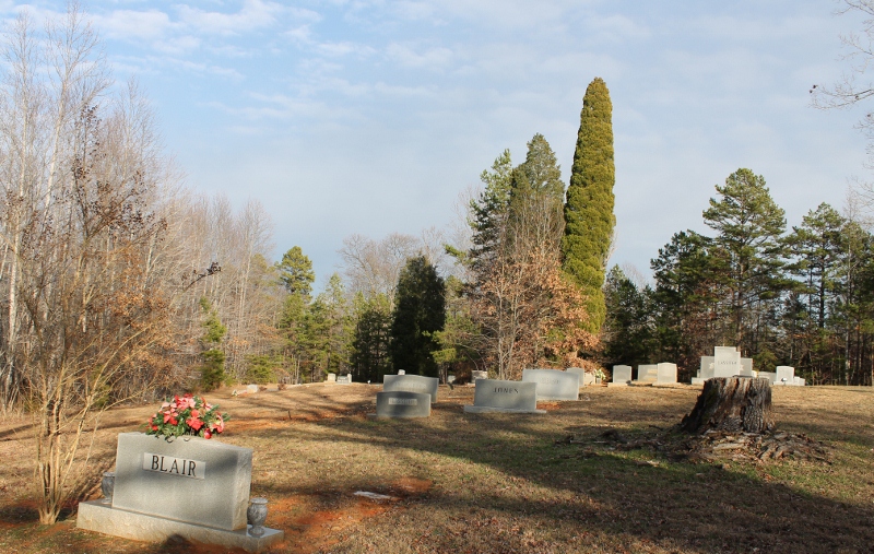
| Description | : | The Strieby Congregational United Church of Christ church is located off of High Pine Church Road on Strieby Church Road. The cemetery sits right behind the church. |
frequently asked questions (FAQ):
-
Where is Strieby Congregational United Church of Christ Cem?
Strieby Congregational United Church of Christ Cem is located at 4111 Strieby Church Rd Asheboro, Randolph County ,North Carolina ,USA.
-
Strieby Congregational United Church of Christ Cem cemetery's updated grave count on graveviews.com?
0 memorials
-
Where are the coordinates of the Strieby Congregational United Church of Christ Cem?
Latitude: 35.5598130
Longitude: -79.9326330
Nearby Cemetories:
1. Callicutt Memorial Church Cemetery
Asheboro, Randolph County, USA
Coordinate: 35.5607390, -79.9118070
2. Cooper Mountain Cemetery
Randolph County, USA
Coordinate: 35.5790298, -79.9351180
3. Bingham Graveyard
Randolph County, USA
Coordinate: 35.5814261, -79.9267622
4. Luther Cemetery
Pisgah, Randolph County, USA
Coordinate: 35.5464000, -79.9045800
5. Mount Lebanon Baptist Church Cemetery
Asheboro, Randolph County, USA
Coordinate: 35.5363500, -79.9130900
6. Old Union Cemetery
New Hope, Randolph County, USA
Coordinate: 35.5826800, -79.9581700
7. High Pine Wesleyan Church Cemetery
Asheboro, Randolph County, USA
Coordinate: 35.5815239, -79.8943787
8. Uwharrie Friends Burial Ground
Asheboro, Randolph County, USA
Coordinate: 35.6024450, -79.9557920
9. Eleazer United Methodist Church Cemetery
Eleazer, Randolph County, USA
Coordinate: 35.5179930, -79.9658560
10. Pisgah United Methodist Church Cemetery
Asheboro, Randolph County, USA
Coordinate: 35.5582710, -79.8699840
11. Oak Grove United Methodist Church
Randolph County, USA
Coordinate: 35.5850000, -79.9944830
12. Callicutt Chapel Wesleyan Church Cemetery
Abner, Montgomery County, USA
Coordinate: 35.5008380, -79.9185070
13. Griffon Family Cemetery
New Hope, Randolph County, USA
Coordinate: 35.5285100, -79.9969500
14. Calvary Gospel Church Cemetery
Denton, Davidson County, USA
Coordinate: 35.5666000, -80.0096000
15. Calvary Gospel Church Cemetery
Randolph County, USA
Coordinate: 35.5661590, -80.0100350
16. New Hope United Methodist Church Cemetery
Randolph County, USA
Coordinate: 35.5554830, -80.0143500
17. Liberty Fellowship Church
Denton, Davidson County, USA
Coordinate: 35.5337785, -80.0094312
18. Macedonia United Methodist Church Cemetery
Star, Montgomery County, USA
Coordinate: 35.4982250, -79.8904270
19. Lucas Family Cemetery
Asheboro, Randolph County, USA
Coordinate: 35.5207060, -79.8595960
20. Woodell
Uwharrie, Montgomery County, USA
Coordinate: 35.4879000, -79.9616667
21. Flint Hill Church of God Cemetery
Troy, Montgomery County, USA
Coordinate: 35.4818500, -79.9291400
22. Cox Family Cemetery
Seagrove, Randolph County, USA
Coordinate: 35.5428000, -79.8378300
23. Bean-Cagle-Cornelison Cemetery
Star, Montgomery County, USA
Coordinate: 35.5061400, -79.8604500
24. Pleasant Hill Primitive Baptist Cemetery
Asheboro, Randolph County, USA
Coordinate: 35.5570850, -79.8279590