
| Memorials | : | 5 |
| Location | : | Normantown, Gilmer County, USA |
| Coordinate | : | 38.8472222, -80.8805556 |
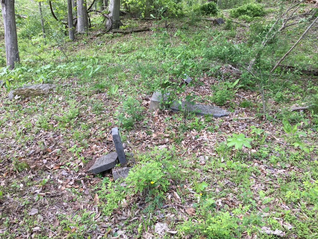
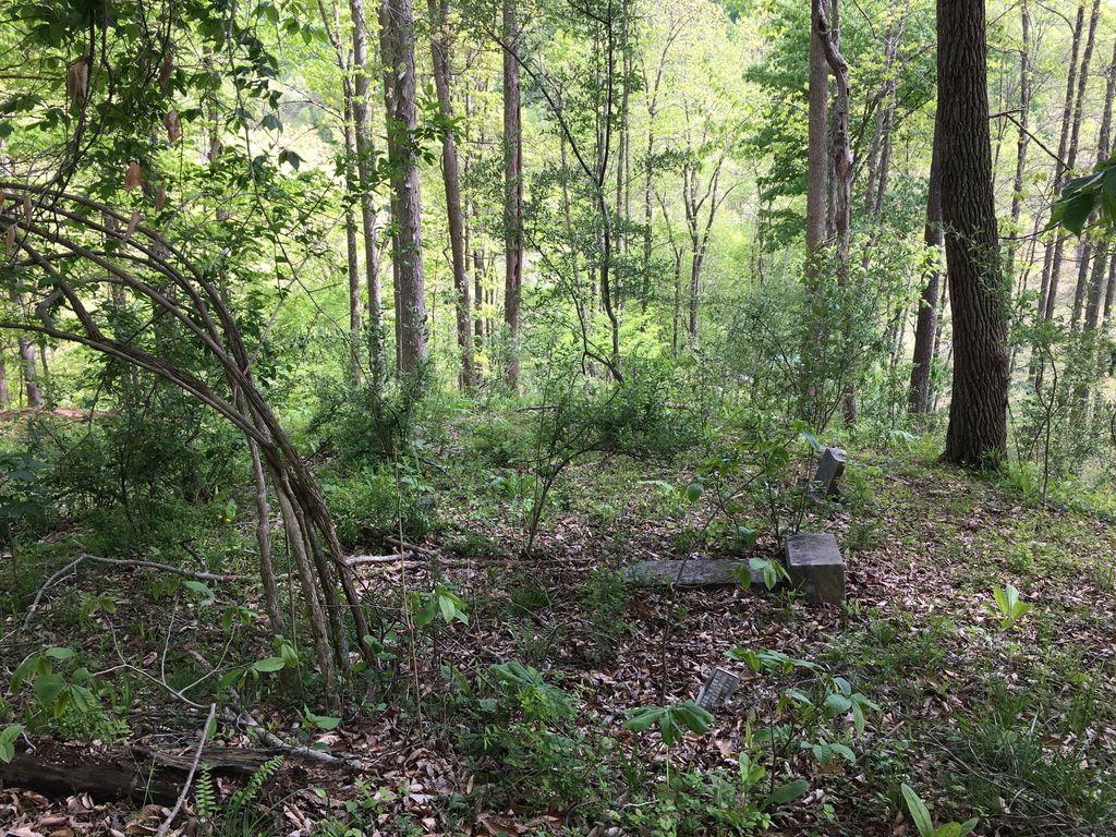
| Description | : | The Sumpter Cemetery is located on the current Beall Farm up Lick Fork of Steer Run, Center District, Gilmer County, WV. It is located at the second switchback of the farm road shown near the pin on the map. From this spot, one can see down to the old Sumpter homestead site, where part of the chimney still stands, right beside Lick Fork Rd. |
frequently asked questions (FAQ):
-
Where is Sumpter Cemetery?
Sumpter Cemetery is located at Lick Fork Rd Normantown, Gilmer County ,West Virginia ,USA.
-
Sumpter Cemetery cemetery's updated grave count on graveviews.com?
5 memorials
-
Where are the coordinates of the Sumpter Cemetery?
Latitude: 38.8472222
Longitude: -80.8805556

Nearby Cemetories:
1. Beall Cemetery
Normantown, Gilmer County, USA
Coordinate: 38.8461306, -80.8910306
2. Marks Cemetery
Cedarville, Gilmer County, USA
Coordinate: 38.8654400, -80.8835200
3. Mount Camel Baptist Church Cemetery
Gassaway, Braxton County, USA
Coordinate: 38.8174450, -80.8914080
4. Mount Carmel Cemetery
Normantown, Gilmer County, USA
Coordinate: 38.8174280, -80.8913720
5. Albert VanHorn Cemetery
Orton, Gilmer County, USA
Coordinate: 38.8178020, -80.8983150
6. Norman Cemetery
Normantown, Gilmer County, USA
Coordinate: 38.8236111, -80.8516666
7. Upper Steer Run Baptist Church Cemetery
Gilmer County, USA
Coordinate: 38.8429370, -80.9227830
8. Boggs Cemetery
Normantown, Gilmer County, USA
Coordinate: 38.8238160, -80.9127130
9. Mollohan Cemetery
Normantown, Gilmer County, USA
Coordinate: 38.8429600, -80.9262500
10. Parsons Cemetery
Cedarville, Gilmer County, USA
Coordinate: 38.8239470, -80.8418970
11. Moss Cemetery
Gilmer County, USA
Coordinate: 38.8678017, -80.8311005
12. Cedarville Cemetery
Cedarville, Gilmer County, USA
Coordinate: 38.8452830, -80.8240100
13. Normantown Cemetery
Normantown, Gilmer County, USA
Coordinate: 38.8511040, -80.9403910
14. Clowser Cemetery
Cedarville, Gilmer County, USA
Coordinate: 38.8231110, -80.8284740
15. Mowery-Deulley Cemetery
Gilmer County, USA
Coordinate: 38.7982070, -80.8814230
16. Moore Cemetery
Normantown, Gilmer County, USA
Coordinate: 38.7986160, -80.8970590
17. Tater Knob
Gilmer County, USA
Coordinate: 38.8988304, -80.8848038
18. Meadows Cemetery
Gilmer County, USA
Coordinate: 38.8506012, -80.9492035
19. Shiloh Church Cemetery
Glenville, Gilmer County, USA
Coordinate: 38.9002200, -80.8920300
20. Brown Cemetery
Gilmer County, USA
Coordinate: 38.8869070, -80.9272360
21. Chestnut Lick Community Church Cemetery
Gilmer County, USA
Coordinate: 38.8223950, -80.9426220
22. Oak Grove Cemetery
Normantown, Gilmer County, USA
Coordinate: 38.8061420, -80.9267360
23. Cox Cemetery
Normantown, Gilmer County, USA
Coordinate: 38.8953300, -80.9170500
24. Burk Cemetery
Gilmer County, USA
Coordinate: 38.8426000, -80.8084000