
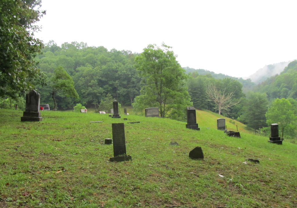
| Memorials | : | 20 |
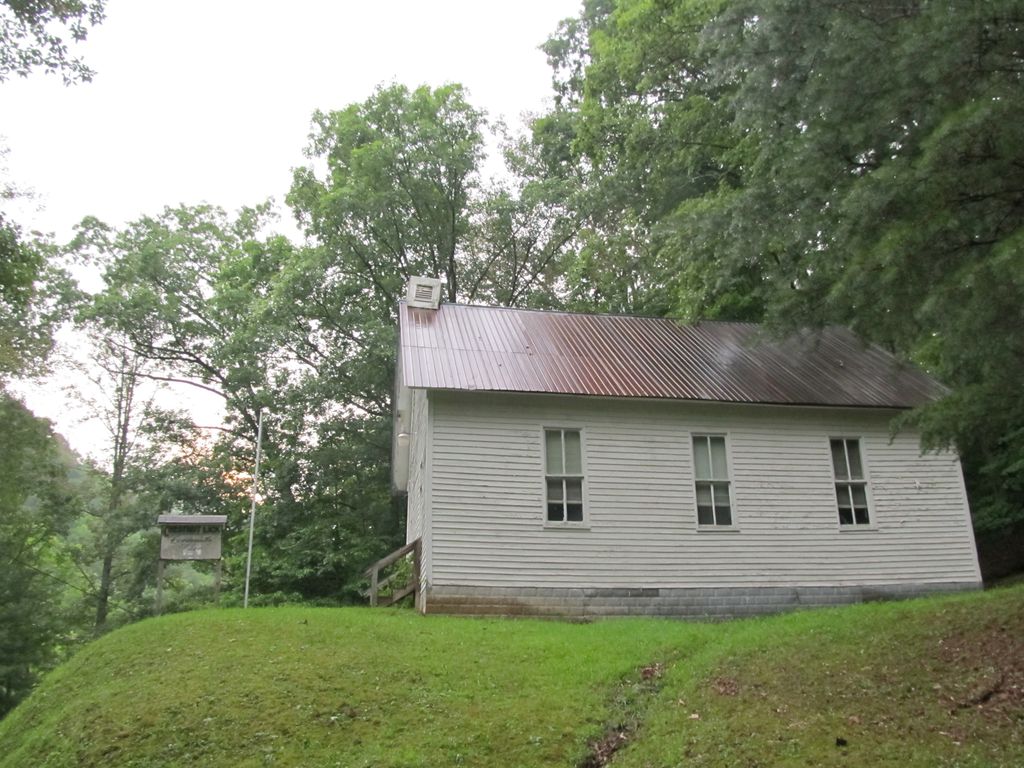
| Location | : | Gilmer County, USA |
| Coordinate | : | 38.8223950, -80.9426220 |
frequently asked questions (FAQ):
-
Where is Chestnut Lick Community Church Cemetery?
Chestnut Lick Community Church Cemetery is located at Gilmer County ,West Virginia ,USA.
-
Chestnut Lick Community Church Cemetery cemetery's updated grave count on graveviews.com?
20 memorials
-
Where are the coordinates of the Chestnut Lick Community Church Cemetery?
Latitude: 38.8223950
Longitude: -80.9426220
Nearby Cemetories:
1. Oak Grove Cemetery
Normantown, Gilmer County, USA
Coordinate: 38.8061420, -80.9267360
2. Boggs Cemetery
Normantown, Gilmer County, USA
Coordinate: 38.8238160, -80.9127130
3. Mollohan Cemetery
Normantown, Gilmer County, USA
Coordinate: 38.8429600, -80.9262500
4. Michael Stump Cemetery-Steer Creek
Stumptown, Gilmer County, USA
Coordinate: 38.8273200, -80.9736800
5. Upper Steer Run Baptist Church Cemetery
Gilmer County, USA
Coordinate: 38.8429370, -80.9227830
6. Meadows Cemetery
Gilmer County, USA
Coordinate: 38.8506012, -80.9492035
7. Normantown Cemetery
Normantown, Gilmer County, USA
Coordinate: 38.8511040, -80.9403910
8. Susan Stump Cemetery
Shock, Gilmer County, USA
Coordinate: 38.8012660, -80.9749330
9. Albert VanHorn Cemetery
Orton, Gilmer County, USA
Coordinate: 38.8178020, -80.8983150
10. Elihu-Stump Cemetery
Gilmer County, USA
Coordinate: 38.8403015, -80.9878006
11. Mount Camel Baptist Church Cemetery
Gassaway, Braxton County, USA
Coordinate: 38.8174450, -80.8914080
12. Mount Carmel Cemetery
Normantown, Gilmer County, USA
Coordinate: 38.8174280, -80.8913720
13. Kyer Cemetery
Perkins, Gilmer County, USA
Coordinate: 38.7861111, -80.9169444
14. Moore Cemetery
Normantown, Gilmer County, USA
Coordinate: 38.7986160, -80.8970590
15. Collins Community Cemetery
Stumptown, Gilmer County, USA
Coordinate: 38.8459700, -80.9903630
16. Mount Pisgah Church Cemetery
Stumptown, Gilmer County, USA
Coordinate: 38.8469900, -80.9932700
17. Beall Cemetery
Normantown, Gilmer County, USA
Coordinate: 38.8461306, -80.8910306
18. Snakeroot Cemetery
Gilmer County, USA
Coordinate: 38.8586006, -80.9910965
19. Johnny Godfrey Cemetery
Lockney, Gilmer County, USA
Coordinate: 38.8755150, -80.9503720
20. Mowery-Deulley Cemetery
Gilmer County, USA
Coordinate: 38.7982070, -80.8814230
21. Stump Cemetery
Stumptown, Gilmer County, USA
Coordinate: 38.8495000, -81.0030000
22. Sumpter Cemetery
Normantown, Gilmer County, USA
Coordinate: 38.8472222, -80.8805556
23. Turner Cemetery
Lockney, Gilmer County, USA
Coordinate: 38.8764000, -80.9555969
24. Crooked Fork Baptist Church Cemetery
Perkins, Gilmer County, USA
Coordinate: 38.7714360, -80.8988930