| Memorials | : | 19 |
| Location | : | Sunrise, Chisago County, USA |
| Coordinate | : | 45.5558014, -92.8563995 |
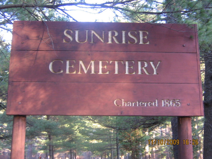
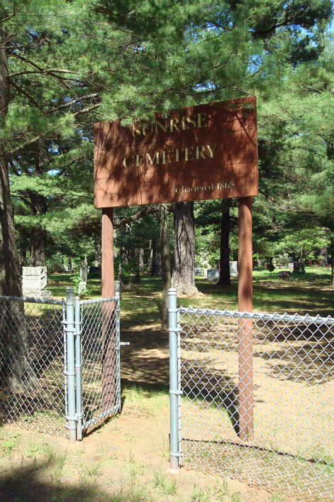
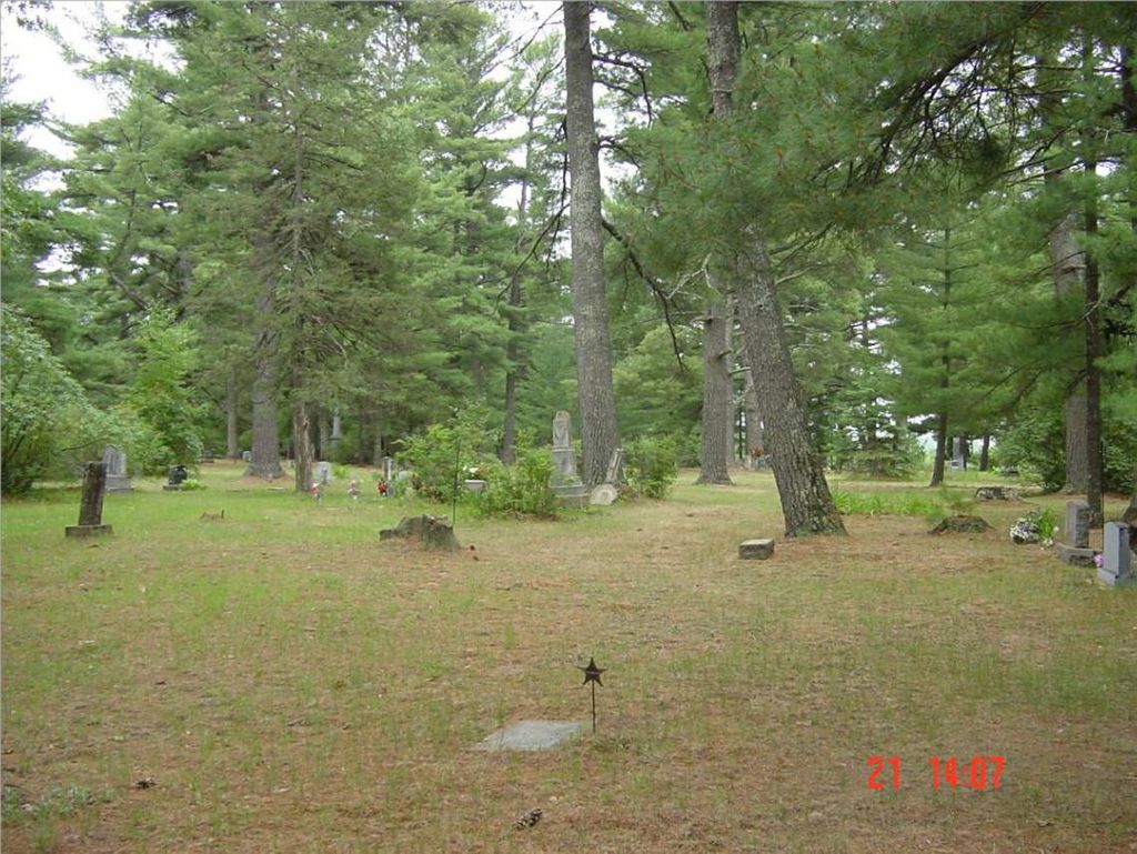
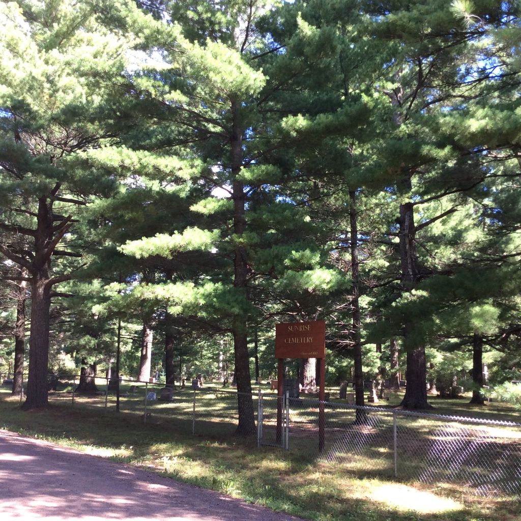
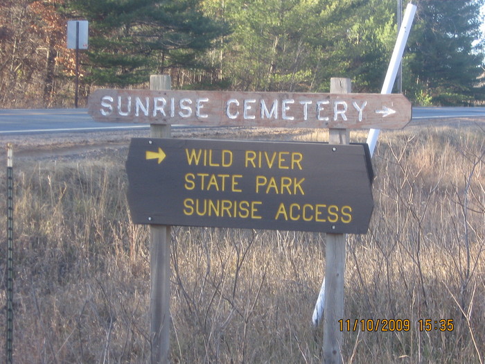
| Description | : | The SUNRISE CEMETERY is located west of the St. Croix River among tall pines that were planted in the pioneer days. It is on the east side of Ferry Road, near the Wild River State Park lands. Folklore history suggests part of the cemetery was previously used as a Native American burial grounds although a specific area is not evident today. A display structure in the cemetery contains placards which list all war veteran burials in the Sunrise cemetery. There are 21 names from the Civil War, 13 names from World War I, 37 names from World War II, 11 names from... Read More |
frequently asked questions (FAQ):
-
Where is Sunrise Cemetery?
Sunrise Cemetery is located at Sunrise, Chisago County ,Minnesota ,USA.
-
Sunrise Cemetery cemetery's updated grave count on graveviews.com?
18 memorials
-
Where are the coordinates of the Sunrise Cemetery?
Latitude: 45.5558014
Longitude: -92.8563995
Nearby Cemetories:
1. Poor Farm Cemetery
Sunrise, Chisago County, USA
Coordinate: 45.5203018, -92.8470993
2. Kost Cemetery
Kost, Chisago County, USA
Coordinate: 45.4892006, -92.8696976
3. Old Settlers Cemetery
Wolf Creek, Polk County, USA
Coordinate: 45.5996800, -92.7698200
4. Almelund Cemetery
Almelund, Chisago County, USA
Coordinate: 45.4916992, -92.7845001
5. Poor Farm Cemetery
North Branch, Chisago County, USA
Coordinate: 45.5062190, -92.9493780
6. Oak Grove Cemetery
Harris, Chisago County, USA
Coordinate: 45.5614014, -92.9756012
7. Covenant Cemetery
Harris, Chisago County, USA
Coordinate: 45.5793991, -92.9847031
8. Wolf Creek Cemetery
Wolf Creek, Polk County, USA
Coordinate: 45.5594200, -92.7235600
9. Old Lutheran Cemetery
Harris, Chisago County, USA
Coordinate: 45.5858994, -92.9825974
10. Trinity Lutheran Cemetery
North Branch, Chisago County, USA
Coordinate: 45.5144997, -92.9872971
11. Pioneer Cemetery
Wolf Creek, Polk County, USA
Coordinate: 45.5819500, -92.7165410
12. Oak Hill Cemetery
North Branch, Chisago County, USA
Coordinate: 45.5129166, -92.9902344
13. Saint Josephs Catholic Cemetery
North Branch, Chisago County, USA
Coordinate: 45.5129013, -92.9915009
14. William Taylor Cemetery
Rush City, Chisago County, USA
Coordinate: 45.6707993, -92.9274979
15. Pleasant Prairie Cemetery
Grantsburg, Burnett County, USA
Coordinate: 45.6880700, -92.8376300
16. Gee Family Cemetery
Rush City, Chisago County, USA
Coordinate: 45.6886940, -92.9199210
17. Fish Lake Lutheran Pioneer Cemetery
Stark, Chisago County, USA
Coordinate: 45.5777016, -93.0549011
18. Spring Lake Cemetery
Spring Lake, Isanti County, USA
Coordinate: 45.5429000, -93.0567000
19. Fish Lake Lutheran Cemetery
Stark, Chisago County, USA
Coordinate: 45.5777200, -93.0566020
20. Cushing Cemetery
Cushing, Polk County, USA
Coordinate: 45.5691900, -92.6487900
21. Logging Creek Cemetery
Randall, Burnett County, USA
Coordinate: 45.6758400, -92.7342200
22. First Lutheran Cemetery
Rush City, Chisago County, USA
Coordinate: 45.6936989, -92.9347992
23. Pleasant Hill Cemetery
Eureka Center, Polk County, USA
Coordinate: 45.4897003, -92.6517029
24. Calvary Catholic Cemetery
Rush City, Chisago County, USA
Coordinate: 45.6873016, -92.9819031

