
| Memorials | : | 2254 |
| Location | : | Martell, Amador County, USA |
| Website | : | www.sunsetviewcemetery.net/ |
| Coordinate | : | 38.3534390, -120.8328030 |
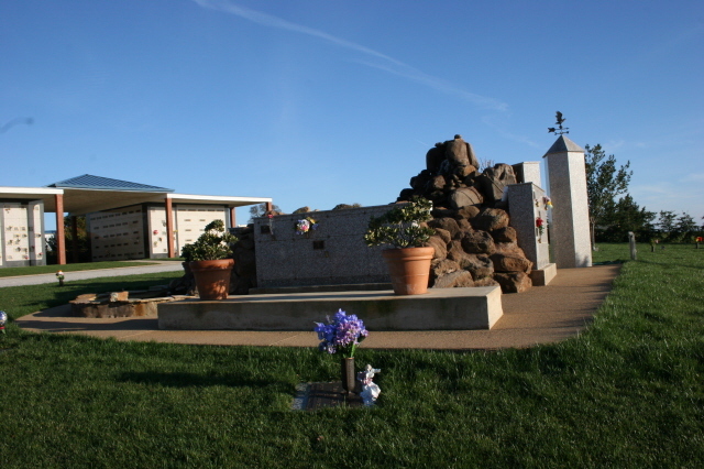
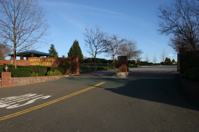
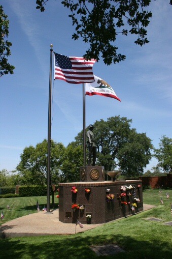
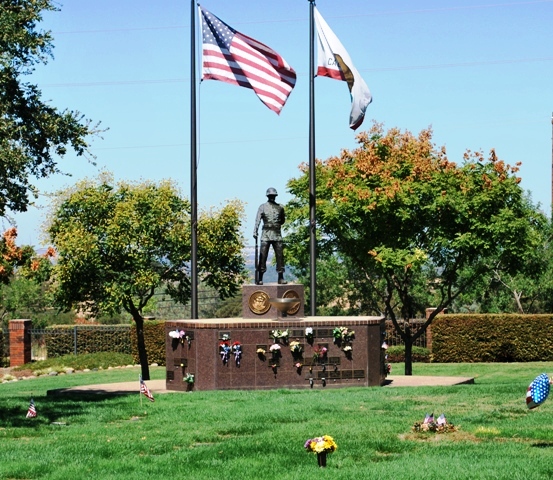
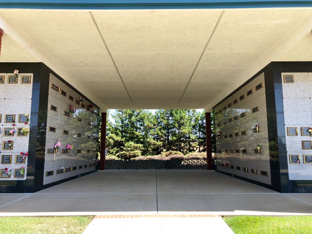
| Description | : | The Sunset View Cemetery is a privately owned cemetery by Daneri Mortuary in Jackson. It is located about two miles west of Martell on Highway 88. The cemetery contains several columbariums, a mausoleum, scatter garden, and a crematorium. The cemetery is divided into separate sections including the Garden of Valor for those serving in the military. One section allows above the ground headstones. The cemetery also features bronze statues by well known local artist Bill Porteous. Started in 1988, this is an active cemetery. |
frequently asked questions (FAQ):
-
Where is Sunset View Cemetery?
Sunset View Cemetery is located at 10200 Hwy 88 Martell, Amador County ,California , 95642USA.
-
Sunset View Cemetery cemetery's updated grave count on graveviews.com?
70 memorials
-
Where are the coordinates of the Sunset View Cemetery?
Latitude: 38.3534390
Longitude: -120.8328030
Nearby Cemetories:
1. Saint Sava Serbian Orthodox Cemetery
Jackson, Amador County, USA
Coordinate: 38.3560530, -120.7764530
2. Sutter Creek Catholic Cemetery
Sutter Creek, Amador County, USA
Coordinate: 38.3955780, -120.8101970
3. Saint Patrick Catholic Cemetery
Jackson, Amador County, USA
Coordinate: 38.3534780, -120.7742350
4. Sutter Creek City Cemetery
Sutter Creek, Amador County, USA
Coordinate: 38.3957520, -120.8091940
5. Odd Fellows Cemetery
Sutter Creek, Amador County, USA
Coordinate: 38.3964120, -120.8110550
6. Jackson Gate Perano Cemetery
Jackson, Amador County, USA
Coordinate: 38.3701640, -120.7778150
7. Amador County Museum
Jackson, Amador County, USA
Coordinate: 38.3507000, -120.7733900
8. Jackson City Cemetery
Jackson, Amador County, USA
Coordinate: 38.3519640, -120.7731340
9. Immaculate Conception Parish Cemetery
Sutter Creek, Amador County, USA
Coordinate: 38.3956980, -120.8063430
10. Pioneer Jewish Cemetery
Jackson, Amador County, USA
Coordinate: 38.3539790, -120.7724540
11. Chinese Cemetery
Jackson, Amador County, USA
Coordinate: 38.3674680, -120.7655440
12. Amador City Cemetery
Amador City, Amador County, USA
Coordinate: 38.4198000, -120.8252000
13. Oak Knoll Cemetery
Amador City, Amador County, USA
Coordinate: 38.4263992, -120.8300018
14. Ione Public Cemetery
Ione, Amador County, USA
Coordinate: 38.3478830, -120.9322000
15. Ione Catholic Cemetery
Ione, Amador County, USA
Coordinate: 38.3483040, -120.9329300
16. Preston School of Industry Cemetery
Ione, Amador County, USA
Coordinate: 38.3608440, -120.9371870
17. Parsons Plot
New Chicago, Amador County, USA
Coordinate: 38.4354000, -120.8174100
18. Drytown City Cemetery
Amador County, USA
Coordinate: 38.4407425, -120.8577118
19. Saint Stephens Cemetery
Drytown, Amador County, USA
Coordinate: 38.4417730, -120.8522840
20. Tolopiyu Cemetery
Ione, Amador County, USA
Coordinate: 38.3186300, -120.9410800
21. Buena Vista Rancheria Indian Cemetery
Ione, Amador County, USA
Coordinate: 38.2731600, -120.9107900
22. Pioneer Jewish Cemetery
Mokelumne Hill, Calaveras County, USA
Coordinate: 38.3034096, -120.7138214
23. Gardner Delles Family Cemetery
Amador County, USA
Coordinate: 38.4557700, -120.7881900
24. Mokelumne Hill Protestant Cemetery
Mokelumne Hill, Calaveras County, USA
Coordinate: 38.3023640, -120.7096420