
| Memorials | : | 347 |
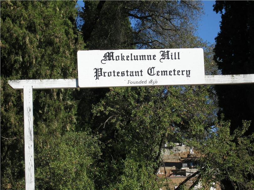
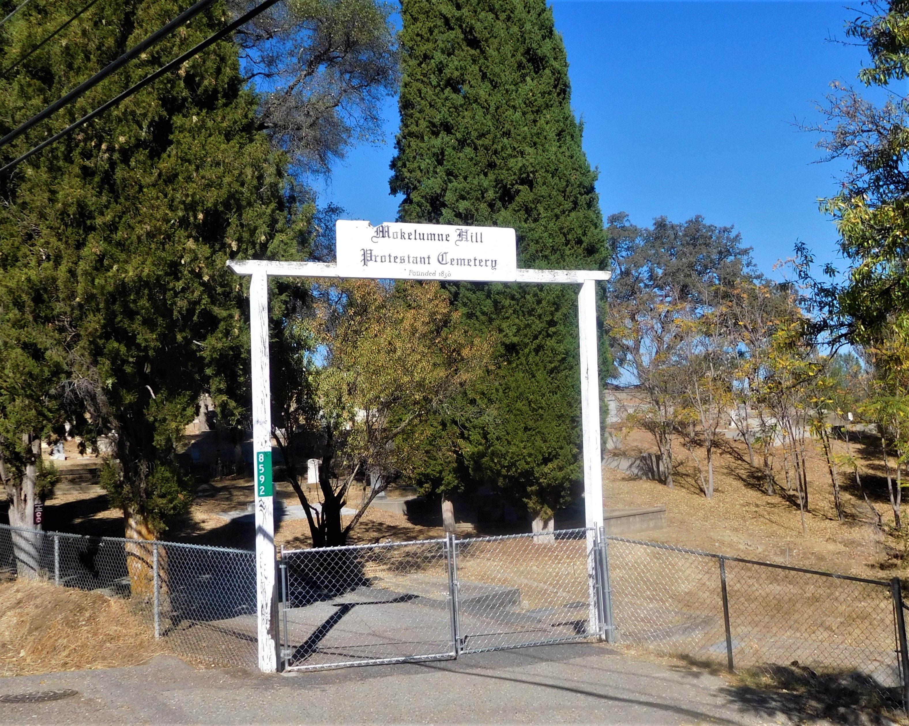
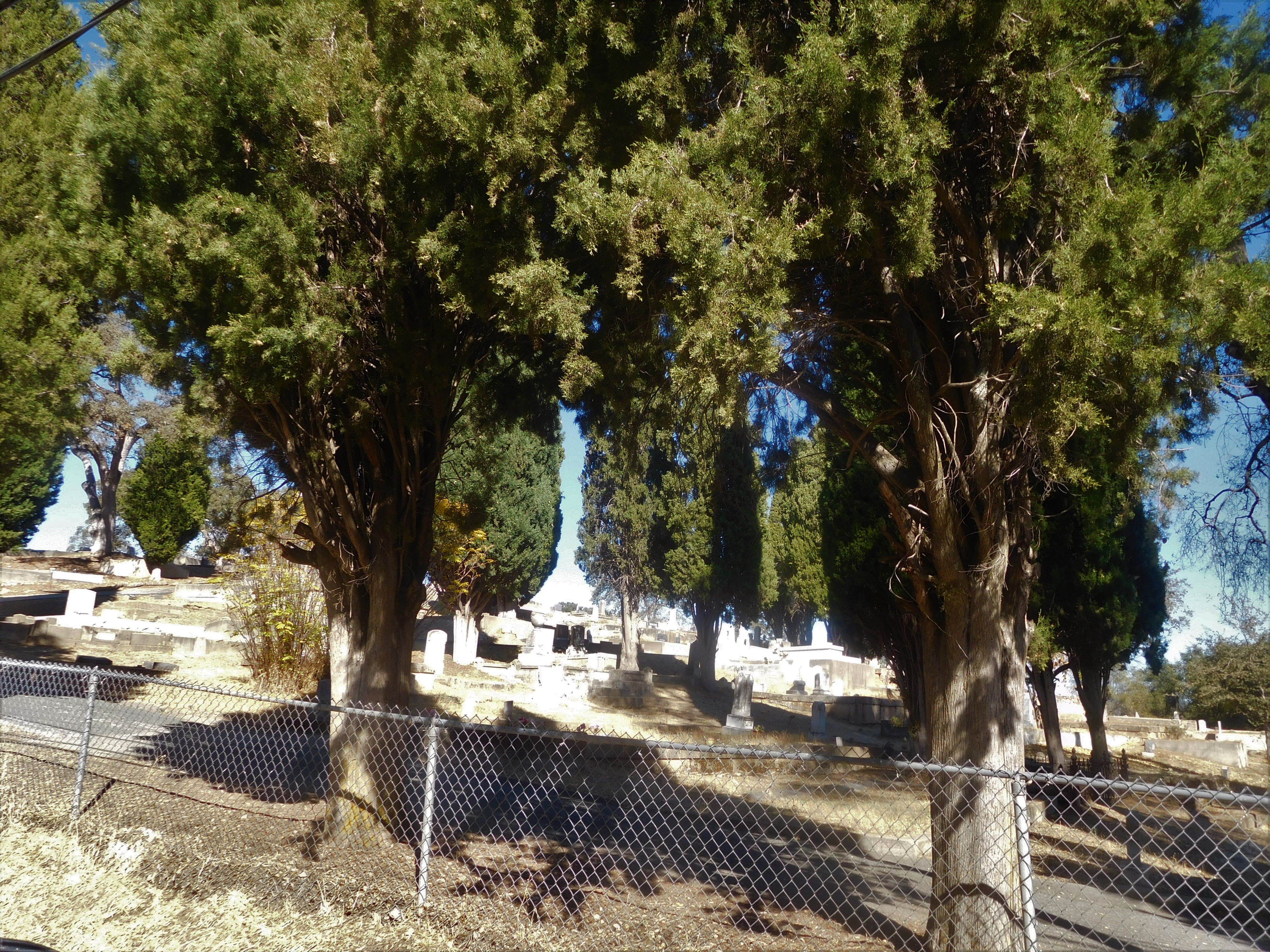
| Location | : | Mokelumne Hill, Calaveras County, USA |
| Website | : | www.calaverashistory.org/mokelumne-hill-cemetery |
| Coordinate | : | 38.3023640, -120.7096420 |
frequently asked questions (FAQ):
-
Where is Mokelumne Hill Protestant Cemetery?
Mokelumne Hill Protestant Cemetery is located at 8592 West Center Street Mokelumne Hill, Calaveras County ,California ,USA.
-
Mokelumne Hill Protestant Cemetery cemetery's updated grave count on graveviews.com?
346 memorials
-
Where are the coordinates of the Mokelumne Hill Protestant Cemetery?
Latitude: 38.3023640
Longitude: -120.7096420
Nearby Cemetories:
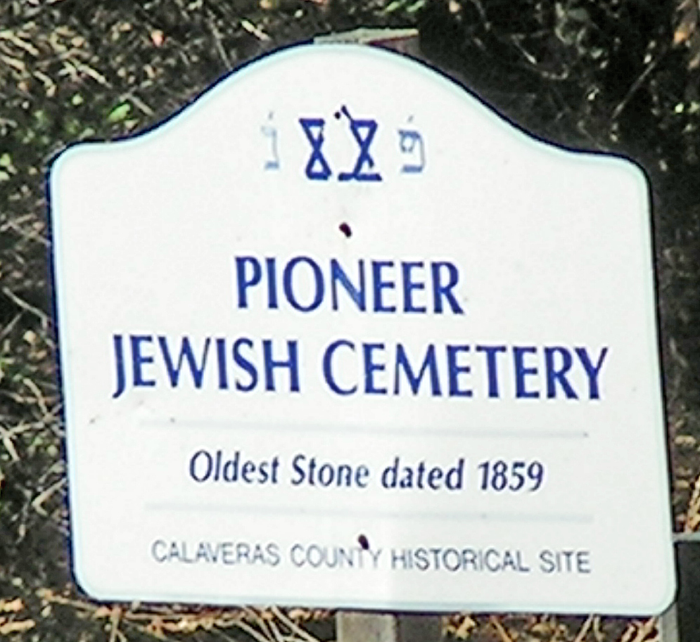
1. Pioneer Jewish Cemetery
Mokelumne Hill, Calaveras County, USA
Coordinate: 38.3034096, -120.7138214
2. Saint Thomas Aquinas Cemetery
Mokelumne Hill, Calaveras County, USA
Coordinate: 38.3027344, -120.7031784
3. Jesus Maria Cemetery
Jesus Maria, Calaveras County, USA
Coordinate: 38.2835970, -120.6405370
4. Golden Gate Ranch Family Cemetery
Mokelumne Hill, Calaveras County, USA
Coordinate: 38.2542500, -120.7518800
5. Amador County Museum
Jackson, Amador County, USA
Coordinate: 38.3507000, -120.7733900
6. Jackson City Cemetery
Jackson, Amador County, USA
Coordinate: 38.3519640, -120.7731340
7. Pioneer Jewish Cemetery
Jackson, Amador County, USA
Coordinate: 38.3539790, -120.7724540
8. Saint Patrick Catholic Cemetery
Jackson, Amador County, USA
Coordinate: 38.3534780, -120.7742350
9. Baker Ranch Family Cemetery
Indian Creek, Calaveras County, USA
Coordinate: 38.3269500, -120.6208800
10. Saint Sava Serbian Orthodox Cemetery
Jackson, Amador County, USA
Coordinate: 38.3560530, -120.7764530
11. Chinese Cemetery
Jackson, Amador County, USA
Coordinate: 38.3674680, -120.7655440
12. Saint Peter and Paul Catholic Cemetery
Clinton, Amador County, USA
Coordinate: 38.3750140, -120.6652150
13. Jackson Gate Perano Cemetery
Jackson, Amador County, USA
Coordinate: 38.3701640, -120.7778150
14. Pioneer Cemetery
San Andreas, Calaveras County, USA
Coordinate: 38.2085660, -120.7078710
15. Double Springs Cemetery
Valley Springs, Calaveras County, USA
Coordinate: 38.2126930, -120.7712460
16. Peoples Cemetery
San Andreas, Calaveras County, USA
Coordinate: 38.2002831, -120.6801834
17. Doster Family Cemetery
Mountain Ranch, Calaveras County, USA
Coordinate: 38.2295012, -120.6059266
18. Sunset View Cemetery
Martell, Amador County, USA
Coordinate: 38.3534390, -120.8328030
19. Saint Andrews Catholic Cemetery
San Andreas, Calaveras County, USA
Coordinate: 38.1931343, -120.6808624
20. Aqueduct City Cemetery
Pine Grove, Amador County, USA
Coordinate: 38.3978004, -120.6302872
21. Pine Grove Cemetery
Pine Grove, Amador County, USA
Coordinate: 38.4118780, -120.6596340
22. Calaveras County Hospital Cemetery
San Andreas, Calaveras County, USA
Coordinate: 38.1917763, -120.6620941
23. Danielson Ranch Cemetery
Glencoe, Calaveras County, USA
Coordinate: 38.3578440, -120.5738220
24. Immaculate Conception Parish Cemetery
Sutter Creek, Amador County, USA
Coordinate: 38.3956980, -120.8063430