
| Memorials | : | 15 |
| Location | : | Idana, Clay County, USA |
| Coordinate | : | 39.3141300, -97.2792300 |
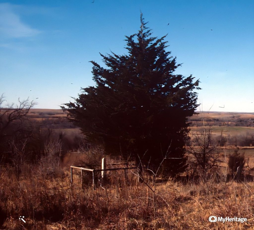
| Description | : | aka Diphtheria Hill Cemetery or Diphtheria Cemetery This cemetery is located in the NE 1/4, 35-8-1, Clay County, Kansas on the western slope of Table Mounds. The cemetery is located on private property. In 1955, rocks for headstones and footstones, or just headstones, indicated that perhaps twice as many persons had been buried at this cemetery as identifiable tomestones showed. In 1992, there were only parts of three stones left. The grave markers were bulldozed into a pile after this and put in the corner of the cemetery. |
frequently asked questions (FAQ):
-
Where is Table Mound Cemetery?
Table Mound Cemetery is located at Idana, Clay County ,Kansas ,USA.
-
Table Mound Cemetery cemetery's updated grave count on graveviews.com?
0 memorials
-
Where are the coordinates of the Table Mound Cemetery?
Latitude: 39.3141300
Longitude: -97.2792300
Nearby Cemetories:
1. Hebron Cemetery
Clay County, USA
Coordinate: 39.3213800, -97.2601400
2. Idana Cemetery
Idana, Clay County, USA
Coordinate: 39.3574500, -97.2693300
3. Shields Cemetery
Clay County, USA
Coordinate: 39.3208008, -97.3507996
4. Pleasant Valley Cemetery
Oak Hill, Clay County, USA
Coordinate: 39.2468987, -97.2889023
5. Pleasant Ridge Cemetery
Clay County, USA
Coordinate: 39.2789001, -97.1841965
6. Wesleyan Cemetery
Oak Hill, Clay County, USA
Coordinate: 39.2268982, -97.2572021
7. Republican City Cemetery
Clay Center, Clay County, USA
Coordinate: 39.3431015, -97.1628036
8. Wilson Cemetery
Clay County, USA
Coordinate: 39.3800011, -97.1896973
9. Zion Lutheran Cemetery
Clay County, USA
Coordinate: 39.2928009, -97.1557999
10. Rose Meron Cemetery
Oak Hill, Clay County, USA
Coordinate: 39.2194700, -97.3338900
11. Lincoln Cemetery
Clay Center, Clay County, USA
Coordinate: 39.4230995, -97.2930984
12. Smith Grave
Miltonvale, Cloud County, USA
Coordinate: 39.3645300, -97.4308700
13. Miltonvale Cemetery
Miltonvale, Cloud County, USA
Coordinate: 39.3358002, -97.4447021
14. Mount Liberty Church Cemetery
Ottawa County, USA
Coordinate: 39.2489400, -97.4356200
15. Bloom Cemetery
Morganville, Clay County, USA
Coordinate: 39.4519005, -97.2778015
16. Greenwood Cemetery
Clay Center, Clay County, USA
Coordinate: 39.4011002, -97.1275024
17. Saint Peter and Saint Pauls Catholic Cemetery
Clay Center, Clay County, USA
Coordinate: 39.4005450, -97.1236680
18. Iwacura Cemetery
Morganville, Clay County, USA
Coordinate: 39.4550000, -97.3510000
19. Athelstane Cemetery
Athelstane Township, Clay County, USA
Coordinate: 39.1768990, -97.1753006
20. Mizpah Cemetery
Clay County, USA
Coordinate: 39.2057800, -97.1238500
21. Milo Chapman Gravesite
Broughton, Clay County, USA
Coordinate: 39.2888500, -97.0724400
22. French Presbyterian Church Cemetery
Cloud County, USA
Coordinate: 39.4395200, -97.4148290
23. Uniondale Cemetery
Wakefield, Clay County, USA
Coordinate: 39.2382800, -97.0918400
24. Gilbert Cemetery
Clay County, USA
Coordinate: 39.2853012, -97.0625000