| Memorials | : | 0 |
| Location | : | Headington, City of Oxford, England |
| Website | : | www.headington.org.uk/history/buildings/priory.htm |
| Coordinate | : | 51.7638260, -1.2108100 |
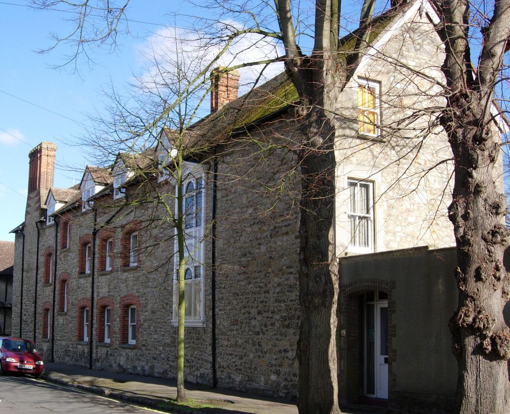
| Description | : | Once called All Souls' Priory, the Priory was once the home of the cloistered Nuns of the Second Order of St Dominic. All Souls' Priory was a second house of the Dominican Nuns, established from Carisbrooke, Isle of Wight. |
frequently asked questions (FAQ):
-
Where is The Priory?
The Priory is located at Old High Street Headington, City of Oxford ,Oxfordshire , OX3 9HTEngland.
-
The Priory cemetery's updated grave count on graveviews.com?
0 memorials
-
Where are the coordinates of the The Priory?
Latitude: 51.7638260
Longitude: -1.2108100
Nearby Cemetories:
1. St Andrew Churchyard
Headington, City of Oxford, England
Coordinate: 51.7647100, -1.2121400
2. Headington Cemetery
Headington, City of Oxford, England
Coordinate: 51.7668050, -1.2179280
3. Cornerstone Church Cemetery
Headington, City of Oxford, England
Coordinate: 51.7587275, -1.1995588
4. Holy Trinity Churchyard
Headington, City of Oxford, England
Coordinate: 51.7577500, -1.1979980
5. St. Aldate's Churchyard
Oxford, City of Oxford, England
Coordinate: 51.7497900, -1.2118500
6. Oxford Crematorium
Headington, City of Oxford, England
Coordinate: 51.7719240, -1.1904020
7. Elsfield Road Cemetery
Old Marston, City of Oxford, England
Coordinate: 51.7752940, -1.2332640
8. St. Clements Churchyard
Oxford, City of Oxford, England
Coordinate: 51.7527790, -1.2369920
9. St. Nicholas Churchyard
Old Marston, City of Oxford, England
Coordinate: 51.7761340, -1.2373130
10. St Ignatius’ Chapel
Oxford, City of Oxford, England
Coordinate: 51.7503160, -1.2396720
11. St Thomas of Canterbury Churchyard
Elsfield, South Oxfordshire District, England
Coordinate: 51.7858680, -1.2178310
12. St Mary and St John Church
Oxford, City of Oxford, England
Coordinate: 51.7452501, -1.2314021
13. Saint Cross Church
Oxford, City of Oxford, England
Coordinate: 51.7561880, -1.2479120
14. St. Cross Churchyard
Holywell, City of Oxford, England
Coordinate: 51.7558380, -1.2479690
15. Magdalen College Chapel
Oxford, City of Oxford, England
Coordinate: 51.7519830, -1.2469820
16. St Peter-in-the-East Churchyard
Oxford, City of Oxford, England
Coordinate: 51.7536111, -1.2500000
17. Mansfield College Chapel
Oxford, City of Oxford, England
Coordinate: 51.7576410, -1.2523340
18. Queens College Chapel
Oxford, City of Oxford, England
Coordinate: 51.7532340, -1.2506990
19. New College
Oxford, City of Oxford, England
Coordinate: 51.7543090, -1.2515310
20. Greyfriars
Oxford, City of Oxford, England
Coordinate: 51.7437920, -1.2401460
21. Wadham College Chapel
Oxford, City of Oxford, England
Coordinate: 51.7560700, -1.2540350
22. University College Chapel
Oxford, City of Oxford, England
Coordinate: 51.7522100, -1.2521700
23. Austin Friars Church
Oxford, City of Oxford, England
Coordinate: 51.7553710, -1.2541550
24. Merton College chapel
Oxford, City of Oxford, England
Coordinate: 51.7510500, -1.2526620

