
| Memorials | : | 2 |
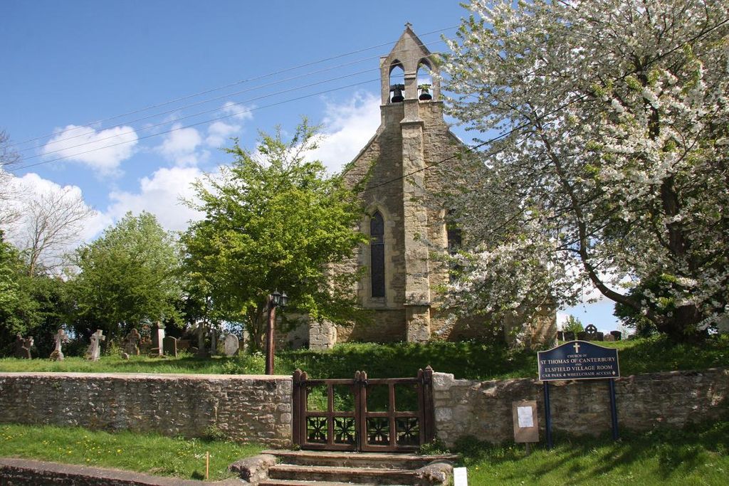
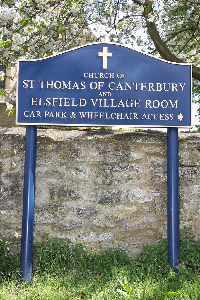
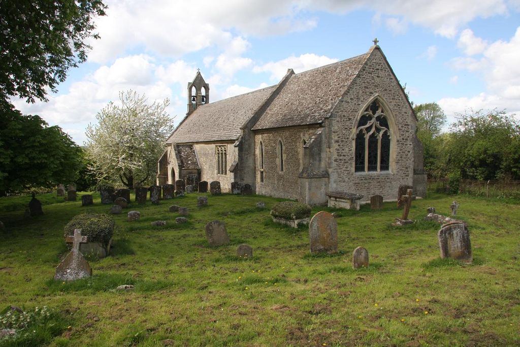
| Location | : | Elsfield, South Oxfordshire District, England |
| Coordinate | : | 51.7858680, -1.2178310 |
frequently asked questions (FAQ):
-
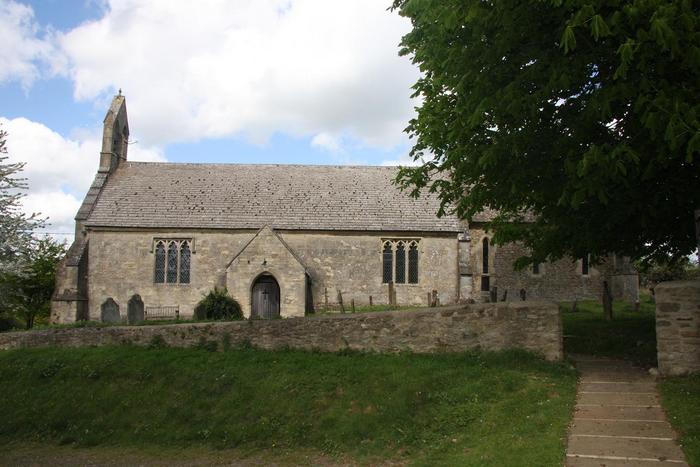
Where is St Thomas of Canterbury Churchyard?
St Thomas of Canterbury Churchyard is located at Elsfield, South Oxfordshire District ,Oxfordshire , OX3 9UHEngland.
-
St Thomas of Canterbury Churchyard cemetery's updated grave count on graveviews.com?
2 memorials
-
Where are the coordinates of the St Thomas of Canterbury Churchyard?
Latitude: 51.7858680
Longitude: -1.2178310

Nearby Cemetories:
1. Elsfield Road Cemetery
Old Marston, City of Oxford, England
Coordinate: 51.7752940, -1.2332640
2. St. Nicholas Churchyard
Old Marston, City of Oxford, England
Coordinate: 51.7761340, -1.2373130
3. Woodeaton Holy Rood Churchyard
Woodeaton, South Oxfordshire District, England
Coordinate: 51.8031620, -1.2257910
4. Headington Cemetery
Headington, City of Oxford, England
Coordinate: 51.7668050, -1.2179280
5. St Andrew Churchyard
Headington, City of Oxford, England
Coordinate: 51.7647100, -1.2121400
6. Oxford Crematorium
Headington, City of Oxford, England
Coordinate: 51.7719240, -1.1904020
7. The Priory
Headington, City of Oxford, England
Coordinate: 51.7638260, -1.2108100
8. Assumption of the Blessed Virgin Mary Churchyard
Beckley, South Oxfordshire District, England
Coordinate: 51.7972530, -1.1858920
9. St Giles Churchyard
Noke, Cherwell District, England
Coordinate: 51.8145050, -1.2114790
10. Cornerstone Church Cemetery
Headington, City of Oxford, England
Coordinate: 51.7587275, -1.1995588
11. St Michael and All Angels Summertown
Oxford, City of Oxford, England
Coordinate: 51.7796280, -1.2643940
12. Holy Trinity Churchyard
Headington, City of Oxford, England
Coordinate: 51.7577500, -1.1979980
13. Saint John the Baptist
Stanton St John, South Oxfordshire District, England
Coordinate: 51.7800350, -1.1642830
14. Wolvercote Cemetery
Oxford, City of Oxford, England
Coordinate: 51.7913666, -1.2721500
15. Saint Cross Church
Oxford, City of Oxford, England
Coordinate: 51.7561880, -1.2479120
16. St. Clements Churchyard
Oxford, City of Oxford, England
Coordinate: 51.7527790, -1.2369920
17. St. Cross Churchyard
Holywell, City of Oxford, England
Coordinate: 51.7558380, -1.2479690
18. Mansfield College Chapel
Oxford, City of Oxford, England
Coordinate: 51.7576410, -1.2523340
19. St. Aldate's Churchyard
Oxford, City of Oxford, England
Coordinate: 51.7497900, -1.2118500
20. Wadham College Chapel
Oxford, City of Oxford, England
Coordinate: 51.7560700, -1.2540350
21. St Giles Churchyard
Oxford, City of Oxford, England
Coordinate: 51.7591660, -1.2605170
22. New College
Oxford, City of Oxford, England
Coordinate: 51.7543090, -1.2515310
23. Austin Friars Church
Oxford, City of Oxford, England
Coordinate: 51.7553710, -1.2541550
24. St Peter-in-the-East Churchyard
Oxford, City of Oxford, England
Coordinate: 51.7536111, -1.2500000