| Memorials | : | 401 |
| Location | : | Eureka, Lincoln County, USA |
| Coordinate | : | 48.9052600, -115.1003850 |
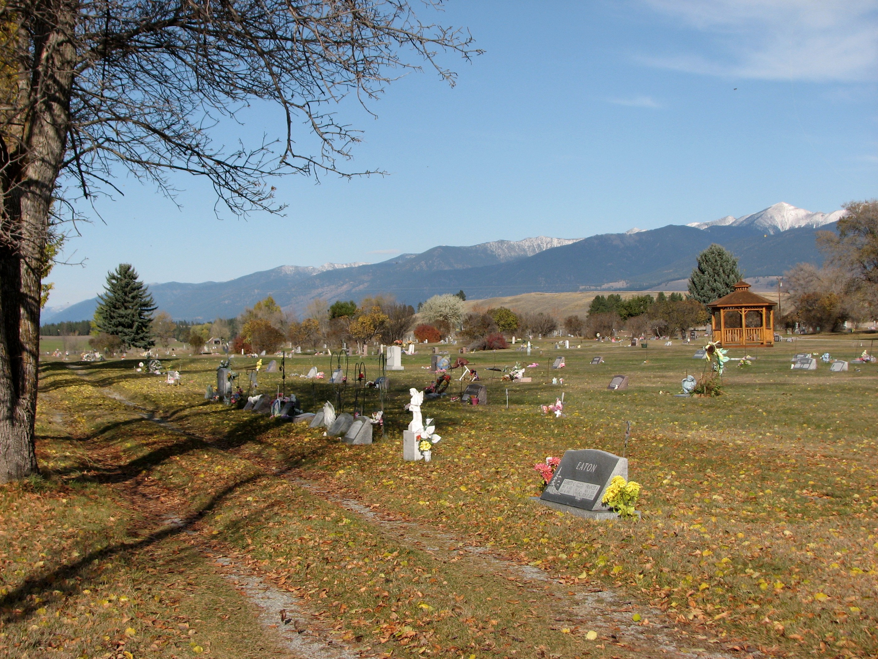
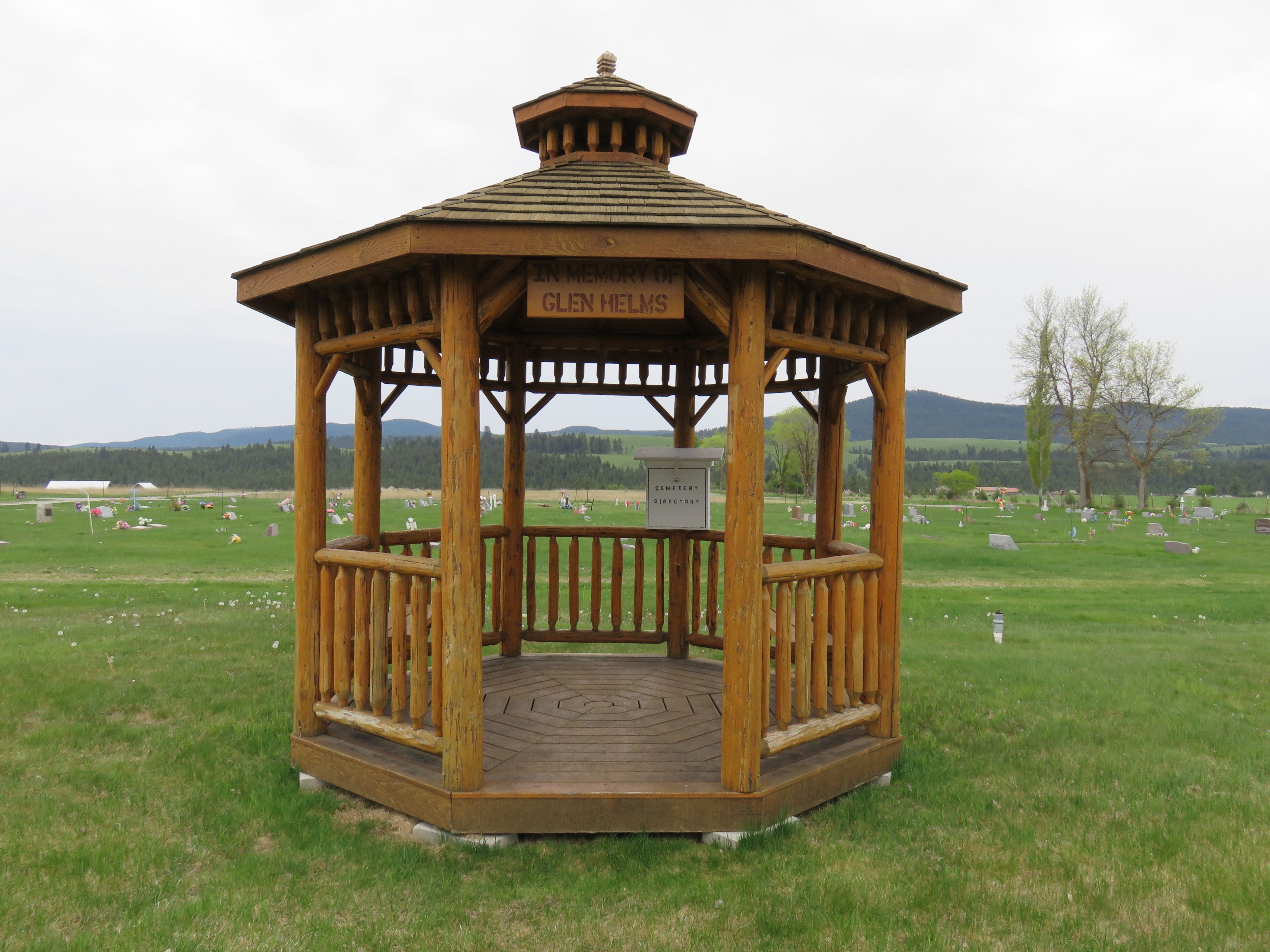
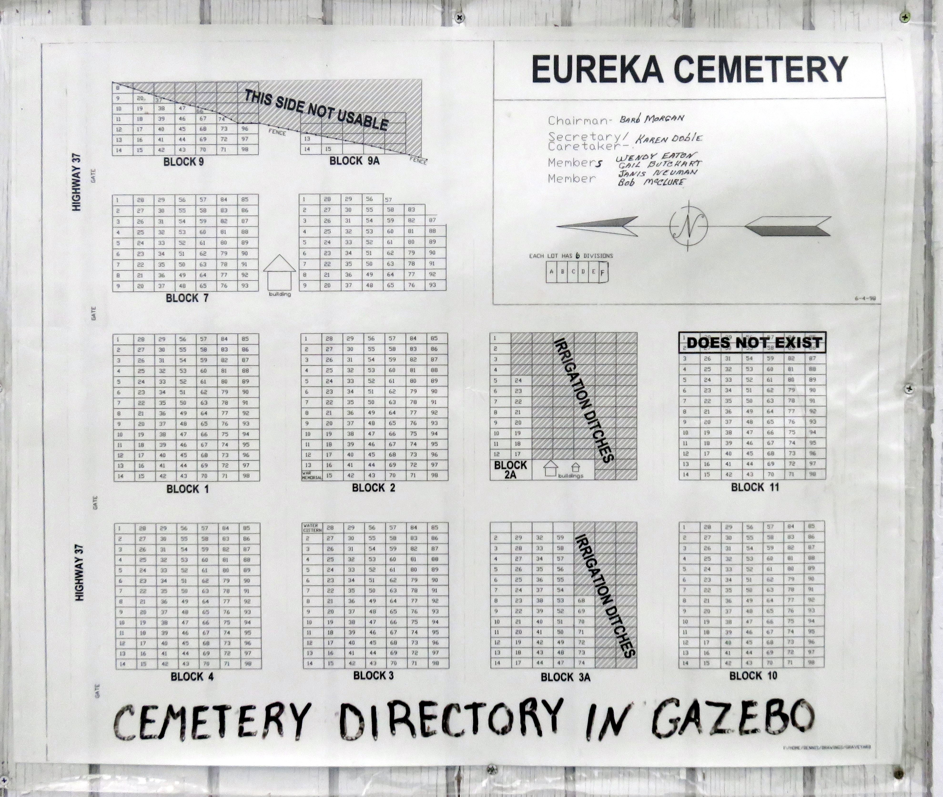
| Description | : | The Tobacco Valley Cemetery is located about 4 miles from Eureka, Montana. From Eureka take United States Highway 93 North to the intersection with Highway 37. Turn left on Highway 37 and one will find the cemetery approx. 3 miles ahead on the left. If one enter at the cemetery sign one will find a directory on the side of the building to assist in finding a grave location. The Tobacco Valley Cemetery, established in 1904 was originally made up of Blocks 1 through 4, it was then combined with the new addition consisting of Blocks 2A,... Read More |
frequently asked questions (FAQ):
-
Where is Tobacco Valley Cemetery?
Tobacco Valley Cemetery is located at Eureka, Lincoln County ,Montana ,USA.
-
Tobacco Valley Cemetery cemetery's updated grave count on graveviews.com?
401 memorials
-
Where are the coordinates of the Tobacco Valley Cemetery?
Latitude: 48.9052600
Longitude: -115.1003850
Nearby Cemetories:
1. Roosville Cemetery
Roosville, East Kootenay Regional District, Canada
Coordinate: 49.0034200, -115.0523000
2. Pine Ridge Memorial Park and Cemetery
Fortine, Lincoln County, USA
Coordinate: 48.7395840, -115.0119910
3. Fortine Cemetery
Fortine, Lincoln County, USA
Coordinate: 48.7670550, -114.8930050
4. Boyd Cemetery
Libby, Lincoln County, USA
Coordinate: 48.9543991, -115.6046982
5. Baynes Lake Cemetery
Baynes Lake, East Kootenay Regional District, Canada
Coordinate: 49.2369900, -115.2106000
6. Frank Day home burial location
Trego, Lincoln County, USA
Coordinate: 48.5841340, -114.9115700
7. Elko Cemetery
Elko, East Kootenay Regional District, Canada
Coordinate: 49.2978200, -115.1353500
8. Sand Creek Cemetery
Jaffray, East Kootenay Regional District, Canada
Coordinate: 49.3362250, -115.2909390
9. Hannah Robinson Gravesite
Morrissey, East Kootenay Regional District, Canada
Coordinate: 49.3725000, -114.9913800
10. Morrissey Cemetery
Morrissey, East Kootenay Regional District, Canada
Coordinate: 49.3751030, -114.9941990
11. Sylvanite Cemetery
Lincoln County, USA
Coordinate: 48.7210000, -115.8745000
12. Saint Margaret's Cemetery
Fernie, East Kootenay Regional District, Canada
Coordinate: 49.4989900, -115.0550900
13. Fernie Cemetery
Fernie, East Kootenay Regional District, Canada
Coordinate: 49.5002240, -115.0579050
14. East Fernie Cemetery
Fernie, East Kootenay Regional District, Canada
Coordinate: 49.5018590, -115.0566640
15. Libby Cemetery
Libby, Lincoln County, USA
Coordinate: 48.3893540, -115.5646380
16. Moyie Cemetery
Moyie, East Kootenay Regional District, Canada
Coordinate: 49.2743920, -115.8350350
17. Yahk Cemetery
Yahk, Central Kootenay Regional District, Canada
Coordinate: 49.0885510, -116.0776230
18. Winn Family Cemetery
Lincoln County, USA
Coordinate: 48.5488590, -115.9644710
19. Corbin Cemetery
Corbin, East Kootenay Regional District, Canada
Coordinate: 49.5217700, -114.6785500
20. Troy Cemetery
Troy, Lincoln County, USA
Coordinate: 48.4752330, -115.8992710
21. Milnor Lake Cemetery
Troy, Lincoln County, USA
Coordinate: 48.4181150, -115.8259500
22. Larchwood Cemetery
Lincoln County, USA
Coordinate: 48.4178009, -115.8257980
23. Hosmer Cemetery
Hosmer, East Kootenay Regional District, Canada
Coordinate: 49.5863580, -114.9565980
24. Leonia Cemetery
Leonia, Boundary County, USA
Coordinate: 48.6161720, -116.0497860


