
| Memorials | : | 0 |
| Location | : | Kingston upon Hull, Kingston upon Hull Unitary Authority, England |
| Coordinate | : | 53.7404389, -0.3422722 |
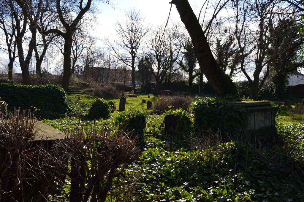
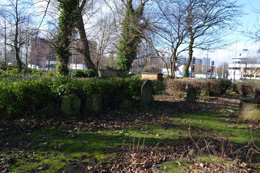
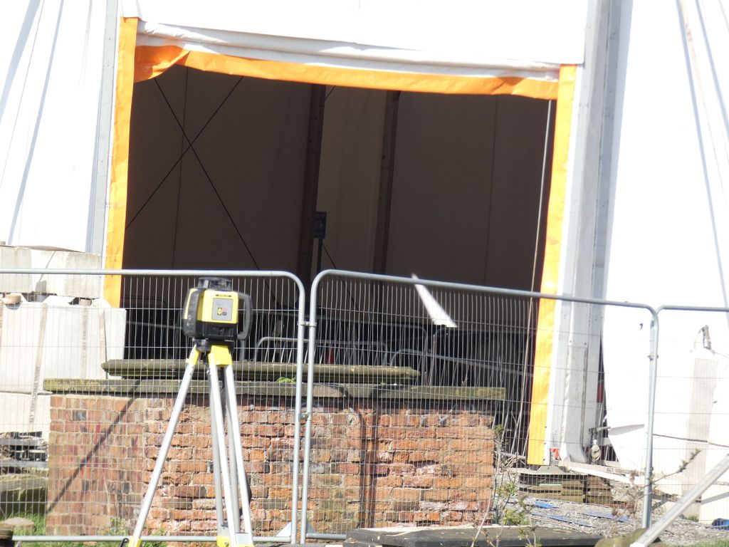
| Description | : | This was a burial ground for the Holy Trinity Parish, and was in use from 1784 to 1861. The Trinity Burial Ground would become known in more recent times as Castle Street Cemetery. It is one of three burial grounds that was specifically consecrated for burial of Holy Trinity parishioners. The other two are the Holy Trinity Churchyard and the Division Road/Hessle Street Cemetery. The first burial ground for the Holy Trinity parish was within the original church building (for eminent people) or in the small bit of churchyard surrounding the building (for most other parishioners). By the late 18th century,... Read More |
frequently asked questions (FAQ):
-
Where is Trinity Burial Ground?
Trinity Burial Ground is located at on Castle Street near Mytongate Kingston upon Hull, Kingston upon Hull Unitary Authority ,East Riding of Yorkshire , HU1 2DAEngland.
-
Trinity Burial Ground cemetery's updated grave count on graveviews.com?
0 memorials
-
Where are the coordinates of the Trinity Burial Ground?
Latitude: 53.7404389
Longitude: -0.3422722
Nearby Cemetories:
1. Holy Trinity Churchyard
Kingston upon Hull, Kingston upon Hull Unitary Authority, England
Coordinate: 53.7418583, -0.3353722
2. Villa Place Jewish Cemetery
Kingston upon Hull, Kingston upon Hull Unitary Authority, England
Coordinate: 53.7396530, -0.3516970
3. St Mary the Virgin Churchyard
Kingston upon Hull, Kingston upon Hull Unitary Authority, England
Coordinate: 53.7438320, -0.3323360
4. Hessle Road Jewish Cemetery
Kingston upon Hull, Kingston upon Hull Unitary Authority, England
Coordinate: 53.7374970, -0.3533980
5. Trippett Street Burial Ground
Kingston upon Hull, Kingston upon Hull Unitary Authority, England
Coordinate: 53.7479660, -0.3322000
6. Carthusian Priory
Kingston upon Hull, Kingston upon Hull Unitary Authority, England
Coordinate: 53.7500000, -0.3333330
7. St Peter Churchyard
Kingston upon Hull, Kingston upon Hull Unitary Authority, England
Coordinate: 53.7446060, -0.3248050
8. Friends Burial Ground
Kingston upon Hull, Kingston upon Hull Unitary Authority, England
Coordinate: 53.7495040, -0.3268370
9. Division Road Cemetery
Kingston upon Hull, Kingston upon Hull Unitary Authority, England
Coordinate: 53.7358194, -0.3679444
10. General Cemetery
Kingston upon Hull, Kingston upon Hull Unitary Authority, England
Coordinate: 53.7517590, -0.3627420
11. Sculcoates Sacristy Cemetery
Kingston upon Hull, Kingston upon Hull Unitary Authority, England
Coordinate: 53.7612240, -0.3408340
12. St Mary Churchyard
Kingston upon Hull, Kingston upon Hull Unitary Authority, England
Coordinate: 53.7610030, -0.3364880
13. Western Cemetery
Kingston upon Hull, Kingston upon Hull Unitary Authority, England
Coordinate: 53.7516700, -0.3727100
14. Sculcoates Lane North Cemetery
Kingston upon Hull, Kingston upon Hull Unitary Authority, England
Coordinate: 53.7627570, -0.3413590
15. Drypool with Southcoates Parish Cemetery
Kingston upon Hull, Kingston upon Hull Unitary Authority, England
Coordinate: 53.7482480, -0.3021130
16. Ella Street Jewish Cemetery
Kingston upon Hull, Kingston upon Hull Unitary Authority, England
Coordinate: 53.7605130, -0.3704170
17. St John Churchyard
Newland, Kingston upon Hull Unitary Authority, England
Coordinate: 53.7687010, -0.3525730
18. Hedon Road Cemetery
Kingston upon Hull, Kingston upon Hull Unitary Authority, England
Coordinate: 53.7479100, -0.2938200
19. Chanterlands Crematorium and Columbarium
Kingston upon Hull, Kingston upon Hull Unitary Authority, England
Coordinate: 53.7647830, -0.3768310
20. Northern Cemetery
Kingston upon Hull, Kingston upon Hull Unitary Authority, England
Coordinate: 53.7678410, -0.3737990
21. Hedon Road Crematorium and Columbarium
Kingston upon Hull, Kingston upon Hull Unitary Authority, England
Coordinate: 53.7512800, -0.2888200
22. Old Hebrew Congregation Burial Ground
Kingston upon Hull, Kingston upon Hull Unitary Authority, England
Coordinate: 53.7483380, -0.2794940
23. Delhi Street Jewish Cemetery
Kingston upon Hull, Kingston upon Hull Unitary Authority, England
Coordinate: 53.7485900, -0.2793900
24. St Giles Churchyard
Marfleet, Kingston upon Hull Unitary Authority, England
Coordinate: 53.7492700, -0.2674200