| Memorials | : | 1 |
| Location | : | Kingston upon Hull, Kingston upon Hull Unitary Authority, England |
| Coordinate | : | 53.7516700, -0.3727100 |
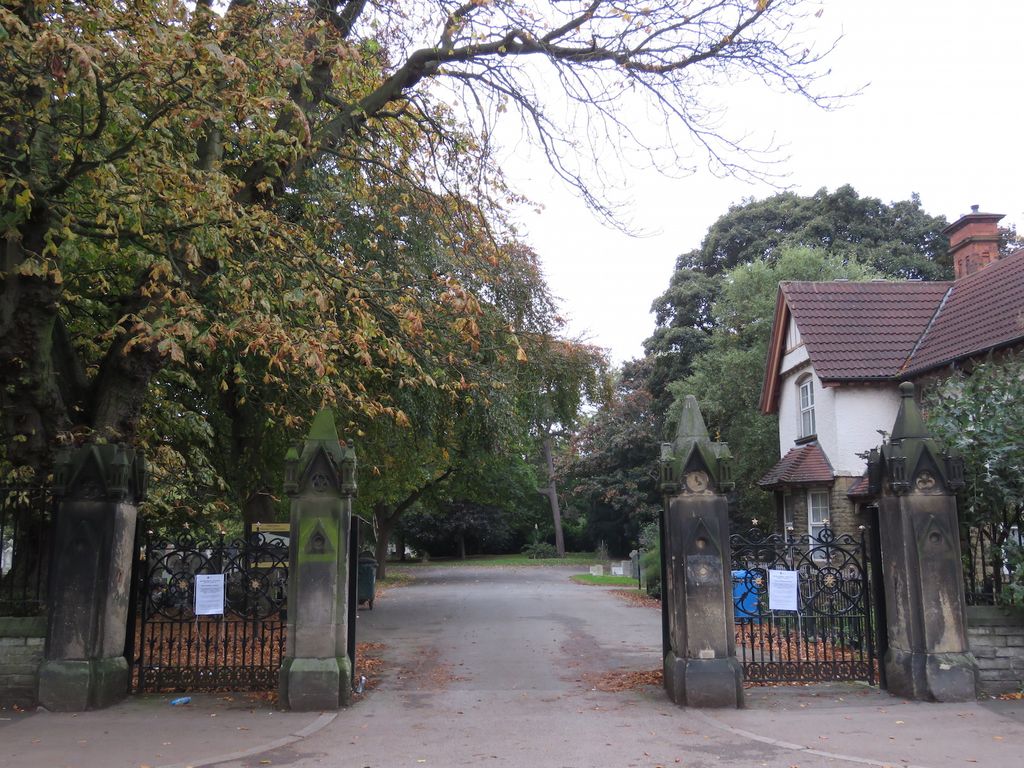
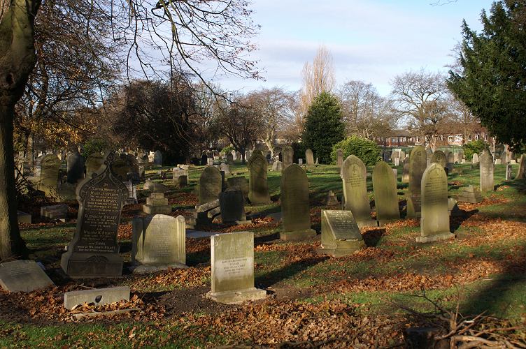
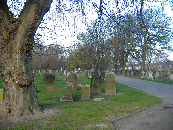
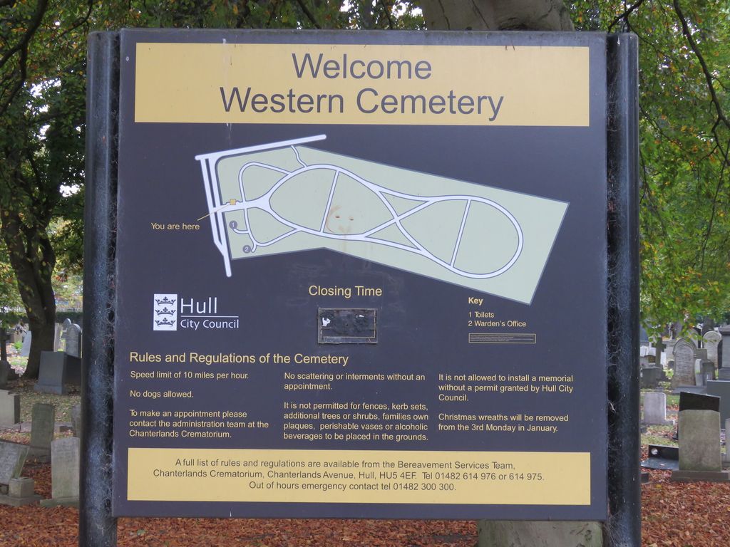
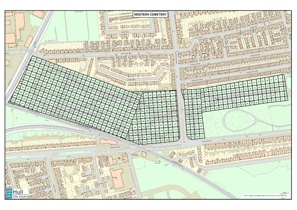
| Description | : | In 1862, the Hull City Corporation/Board of Health acquired 5 acres of land from the Hull General Cemetery Company and opened a public burial ground immediately adjacent to the privately owned General Cemetery. This new public cemetery was called the Borough Cemetery but became known later as the Western Cemetery after it was expanded across Chanterlands Ave in 1889. Burial registers for Western Cemetery are available at the Hull History Center. The registers are divided into those for burials on the east of Chanterlands Avenue (covering the period 1861-1994) and those for burials on the west side of Chanterlands... Read More |
frequently asked questions (FAQ):
-
Where is Western Cemetery?
Western Cemetery is located at Chanterlands Ave Kingston upon Hull, Kingston upon Hull Unitary Authority ,East Riding of Yorkshire , HU5 3TGEngland.
-
Western Cemetery cemetery's updated grave count on graveviews.com?
1 memorials
-
Where are the coordinates of the Western Cemetery?
Latitude: 53.7516700
Longitude: -0.3727100
Nearby Cemetories:
1. General Cemetery
Kingston upon Hull, Kingston upon Hull Unitary Authority, England
Coordinate: 53.7517590, -0.3627420
2. Ella Street Jewish Cemetery
Kingston upon Hull, Kingston upon Hull Unitary Authority, England
Coordinate: 53.7605130, -0.3704170
3. Chanterlands Crematorium and Columbarium
Kingston upon Hull, Kingston upon Hull Unitary Authority, England
Coordinate: 53.7647830, -0.3768310
4. Division Road Cemetery
Kingston upon Hull, Kingston upon Hull Unitary Authority, England
Coordinate: 53.7358194, -0.3679444
5. Northern Cemetery
Kingston upon Hull, Kingston upon Hull Unitary Authority, England
Coordinate: 53.7678410, -0.3737990
6. Villa Place Jewish Cemetery
Kingston upon Hull, Kingston upon Hull Unitary Authority, England
Coordinate: 53.7396530, -0.3516970
7. Hessle Road Jewish Cemetery
Kingston upon Hull, Kingston upon Hull Unitary Authority, England
Coordinate: 53.7374970, -0.3533980
8. St John Churchyard
Newland, Kingston upon Hull Unitary Authority, England
Coordinate: 53.7687010, -0.3525730
9. Sculcoates Sacristy Cemetery
Kingston upon Hull, Kingston upon Hull Unitary Authority, England
Coordinate: 53.7612240, -0.3408340
10. Trinity Burial Ground
Kingston upon Hull, Kingston upon Hull Unitary Authority, England
Coordinate: 53.7404389, -0.3422722
11. Sculcoates Lane North Cemetery
Kingston upon Hull, Kingston upon Hull Unitary Authority, England
Coordinate: 53.7627570, -0.3413590
12. Carthusian Priory
Kingston upon Hull, Kingston upon Hull Unitary Authority, England
Coordinate: 53.7500000, -0.3333330
13. St Mary Churchyard
Kingston upon Hull, Kingston upon Hull Unitary Authority, England
Coordinate: 53.7610030, -0.3364880
14. Holy Trinity Churchyard
Kingston upon Hull, Kingston upon Hull Unitary Authority, England
Coordinate: 53.7418583, -0.3353722
15. Trippett Street Burial Ground
Kingston upon Hull, Kingston upon Hull Unitary Authority, England
Coordinate: 53.7479660, -0.3322000
16. St Mary the Virgin Churchyard
Kingston upon Hull, Kingston upon Hull Unitary Authority, England
Coordinate: 53.7438320, -0.3323360
17. Friends Burial Ground
Kingston upon Hull, Kingston upon Hull Unitary Authority, England
Coordinate: 53.7495040, -0.3268370
18. St Peter Churchyard
Kingston upon Hull, Kingston upon Hull Unitary Authority, England
Coordinate: 53.7446060, -0.3248050
19. Haltemprice Priory
Cottingham, East Riding of Yorkshire Unitary Authority, England
Coordinate: 53.7642860, -0.4207310
20. Priory Woods Cemetery
Cottingham, East Riding of Yorkshire Unitary Authority, England
Coordinate: 53.7748730, -0.4089420
21. St Peter Churchyard
Anlaby, East Riding of Yorkshire Unitary Authority, England
Coordinate: 53.7460700, -0.4343620
22. St Mary the Virgin Churchyard
Cottingham, East Riding of Yorkshire Unitary Authority, England
Coordinate: 53.7821910, -0.4117230
23. Drypool with Southcoates Parish Cemetery
Kingston upon Hull, Kingston upon Hull Unitary Authority, England
Coordinate: 53.7482480, -0.3021130
24. Hessle Cemetery
Hessle, East Riding of Yorkshire Unitary Authority, England
Coordinate: 53.7270800, -0.4379100

