
| Memorials | : | 4 |
| Location | : | Marysville, Union County, USA |
| Coordinate | : | 40.2040600, -83.3666800 |
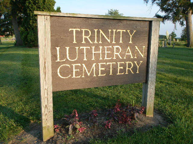
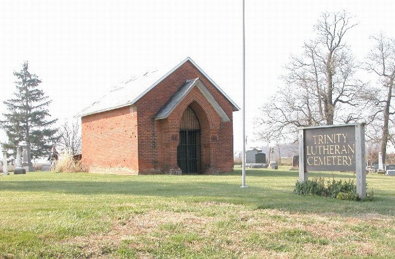
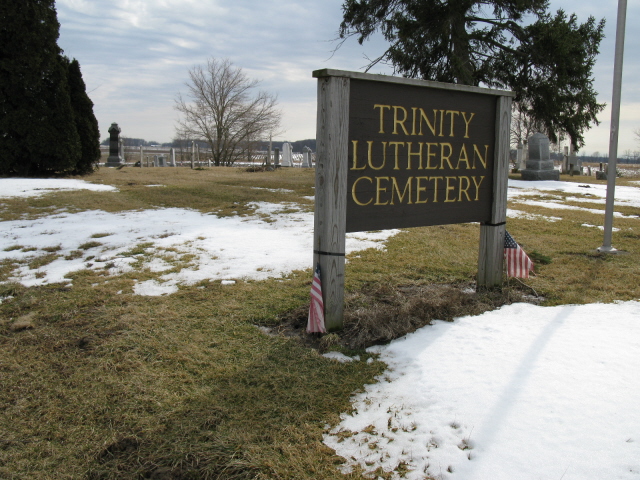
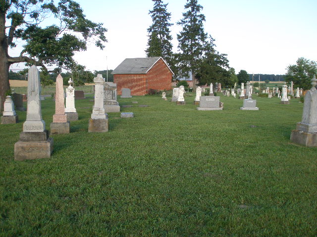
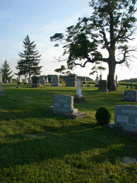
| Description | : | The cemetery is located on the west side of Ohio State Route 736 about 600 feet northwest of its intersection with County Road 63. The cemetery was the second cemetery started by Saint John’s Lutheran congregation of Marysville. When the congregation split, the cemetery property went to the Trinity Lutheran Church. The cemetery is located in Paris Township, Union County, Ohio, and is # 11966 (Trinity Cemetery) in “Ohio Cemeteries 1803-2003”, compiled by the Ohio Genealogical Society. The U.S. Geological Survey (USGS) Geographic Names Information System (GNIS) feature ID for the cemetery is 1047148 (Trinity Cemetery). |
frequently asked questions (FAQ):
-
Where is Trinity Lutheran Cemetery?
Trinity Lutheran Cemetery is located at 13901 – 13999 Ohio State Route 736 Marysville, Union County ,Ohio , 43040USA.
-
Trinity Lutheran Cemetery cemetery's updated grave count on graveviews.com?
3 memorials
-
Where are the coordinates of the Trinity Lutheran Cemetery?
Latitude: 40.2040600
Longitude: -83.3666800

Nearby Cemetories:
1. Old Saint Johns Lutheran Cemetery
Marysville, Union County, USA
Coordinate: 40.1958670, -83.3544810
2. Darby Township Unidentified Cemetery #1
Darby Township, Union County, USA
Coordinate: 40.2000250, -83.3455110
3. Saint Johns Cemetery
Marysville, Union County, USA
Coordinate: 40.1878014, -83.3553009
4. Marysville Cemetery
Marysville, Union County, USA
Coordinate: 40.2381180, -83.3636390
5. Woods-Reed Cemetery
Milford Center, Union County, USA
Coordinate: 40.1699982, -83.4056015
6. Oakdale Cemetery
Marysville, Union County, USA
Coordinate: 40.2442017, -83.3944016
7. Our Lady of Lourdes Catholic Cemetery
Marysville, Union County, USA
Coordinate: 40.2458000, -83.3918991
8. Potters Field
Marysville, Union County, USA
Coordinate: 40.2456250, -83.3934830
9. Amrine Cemetery
Paris Township, Union County, USA
Coordinate: 40.2500000, -83.3936005
10. Darby Township Unidentified Cemetery #2
Darby Township, Union County, USA
Coordinate: 40.1515580, -83.3732780
11. Milford Center Cemetery
Milford Center, Union County, USA
Coordinate: 40.1770134, -83.4267349
12. Mitchell Cemetery
Darby Township, Union County, USA
Coordinate: 40.1513280, -83.3822250
13. Saint Paul Lutheran Cemetery
Chuckery, Union County, USA
Coordinate: 40.1510773, -83.3819427
14. Buxton Cemetery
Dover Township, Union County, USA
Coordinate: 40.2277985, -83.3007965
15. Mount Zion Cemetery
Marysville, Union County, USA
Coordinate: 40.2518997, -83.4180984
16. McDonald Cemetery
Milford Center, Union County, USA
Coordinate: 40.2030983, -83.4516983
17. Lighthouse Mennonite Fellowship Church Cemetery
Unionville Center, Union County, USA
Coordinate: 40.1425944, -83.3378769
18. New Darby Cemetery
Unionville Center, Union County, USA
Coordinate: 40.1403008, -83.3447037
19. Old Darby Cemetery
Unionville Center, Union County, USA
Coordinate: 40.1394005, -83.3432999
20. Buck Run Cemetery
Allen Township, Union County, USA
Coordinate: 40.2243996, -83.4608002
21. Mount Herman Cemetery
New Dover, Union County, USA
Coordinate: 40.2661018, -83.2956009
22. Crane Swamp Cemetery
Union Township, Union County, USA
Coordinate: 40.1938475, -83.4801557
23. Hamilton Union Cemetery
Marysville, Union County, USA
Coordinate: 40.2896600, -83.4045300
24. Connor Cemetery
Milford Center, Union County, USA
Coordinate: 40.1577988, -83.4741974