
| Memorials | : | 0 |
| Location | : | Clinton, Custer County, USA |
| Coordinate | : | 35.4908485, -98.9587936 |
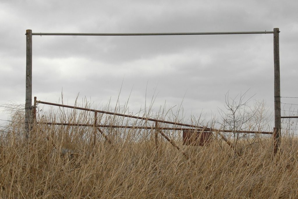
| Description | : | The cemetery is located on the Veterans Center property. It was severely overgrown and being used as part of a livestock grazing area. The grave markers are a flat concrete slabs with handmade brass plates attached to them. A group from the Southwestern State University unearthed grave markers with a metal detector in 2012. One marker had no plate attached to it and several graves were unmarked. ✞~Robin & Beverly Kellison~✞ |
frequently asked questions (FAQ):
-
Where is Tuberculosis Sanatorium Cemetery?
Tuberculosis Sanatorium Cemetery is located at Clinton, Custer County ,Oklahoma ,USA.
-
Tuberculosis Sanatorium Cemetery cemetery's updated grave count on graveviews.com?
0 memorials
-
Where are the coordinates of the Tuberculosis Sanatorium Cemetery?
Latitude: 35.4908485
Longitude: -98.9587936

Nearby Cemetories:
1. John Old Crow Cemetery
Clinton, Custer County, USA
Coordinate: 35.4953003, -98.9646988
2. Little Sioux Indian Cemetery
Clinton, Custer County, USA
Coordinate: 35.4867400, -98.9229400
3. Clinton City Cemetery
Clinton, Custer County, USA
Coordinate: 35.4771996, -98.9922028
4. Clinton Indian Cemetery
Custer County, USA
Coordinate: 35.5223200, -98.9333800
5. Reinke Family Cemetery
Bessie, Washita County, USA
Coordinate: 35.4646530, -98.9960861
6. Howling Walks Indian Cemetery
Bessie, Washita County, USA
Coordinate: 35.4510231, -98.9205551
7. Parkersburg Cemetery
Custer County, USA
Coordinate: 35.4794006, -99.0291977
8. Chapel Hill Cemetery
Clinton, Custer County, USA
Coordinate: 35.4934400, -98.8852100
9. Guy Cemetery
Bessie, Washita County, USA
Coordinate: 35.4536781, -99.0276718
10. Arapaho Cemetery
Arapaho, Custer County, USA
Coordinate: 35.5656013, -98.9516983
11. Red Rock Cemetery
Clinton, Custer County, USA
Coordinate: 35.5380096, -98.8786774
12. Union Hatchett Cemetery
Bessie, Washita County, USA
Coordinate: 35.4077988, -98.9756012
13. Cabaniss Cemetery
Custer County, USA
Coordinate: 35.5481700, -99.0378200
14. Zion Lutheran Cemetery
Bessie Township, Washita County, USA
Coordinate: 35.4510231, -99.0547943
15. Johnson Gravesite
Bessie, Washita County, USA
Coordinate: 35.3925500, -98.9582500
16. Peace Lutheran Cemetery
Bessie, Washita County, USA
Coordinate: 35.3918839, -98.9754410
17. Murphey-Maley Cemetery
Custer County, USA
Coordinate: 35.5083008, -99.0999985
18. Redbird Wolf Chief Indian Gravesite
Corn, Washita County, USA
Coordinate: 35.4052811, -98.8435669
19. South Cedar Cemetery
Custer County, USA
Coordinate: 35.4942017, -98.7994003
20. Bible Mennonite Brethren Cemetery
Bessie, Washita County, USA
Coordinate: 35.3624496, -98.9346313
21. Stafford Cemetery
Stafford, Custer County, USA
Coordinate: 35.5387230, -99.1107559
22. Herold Mennonite Church Cemetery
Bessie, Washita County, USA
Coordinate: 35.3596497, -98.9226608
23. Bergthal Cemetery
Corn, Washita County, USA
Coordinate: 35.4198303, -98.8172073
24. Mount Hope Cemetery
Custer City, Custer County, USA
Coordinate: 35.6088982, -98.8632965