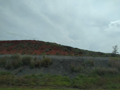
| Memorials | : | 0 |
| Location | : | Clinton, Custer County, USA |
| Coordinate | : | 35.4867400, -98.9229400 |
| Description | : | SE Corner of the NW 1/4 of 28-12-16. From Clinton take old Hwy 66 about 2 miles, go south and cross over I-40. Continue 1 mile south to the end of the road and turn into the wheat field and go south, you will see the fenced area. Cemetery compiled by Vonda McPhearson, May 11, 1992. |
frequently asked questions (FAQ):
-
Where is Little Sioux Indian Cemetery?
Little Sioux Indian Cemetery is located at Clinton, Custer County ,Oklahoma ,USA.
-
Little Sioux Indian Cemetery cemetery's updated grave count on graveviews.com?
0 memorials
-
Where are the coordinates of the Little Sioux Indian Cemetery?
Latitude: 35.4867400
Longitude: -98.9229400
Nearby Cemetories:
1. Tuberculosis Sanatorium Cemetery
Clinton, Custer County, USA
Coordinate: 35.4908485, -98.9587936
2. Chapel Hill Cemetery
Clinton, Custer County, USA
Coordinate: 35.4934400, -98.8852100
3. John Old Crow Cemetery
Clinton, Custer County, USA
Coordinate: 35.4953003, -98.9646988
4. Howling Walks Indian Cemetery
Bessie, Washita County, USA
Coordinate: 35.4510231, -98.9205551
5. Clinton Indian Cemetery
Custer County, USA
Coordinate: 35.5223200, -98.9333800
6. Clinton City Cemetery
Clinton, Custer County, USA
Coordinate: 35.4771996, -98.9922028
7. Red Rock Cemetery
Clinton, Custer County, USA
Coordinate: 35.5380096, -98.8786774
8. Reinke Family Cemetery
Bessie, Washita County, USA
Coordinate: 35.4646530, -98.9960861
9. Arapaho Cemetery
Arapaho, Custer County, USA
Coordinate: 35.5656013, -98.9516983
10. Parkersburg Cemetery
Custer County, USA
Coordinate: 35.4794006, -99.0291977
11. Union Hatchett Cemetery
Bessie, Washita County, USA
Coordinate: 35.4077988, -98.9756012
12. Guy Cemetery
Bessie, Washita County, USA
Coordinate: 35.4536781, -99.0276718
13. Johnson Gravesite
Bessie, Washita County, USA
Coordinate: 35.3925500, -98.9582500
14. South Cedar Cemetery
Custer County, USA
Coordinate: 35.4942017, -98.7994003
15. Redbird Wolf Chief Indian Gravesite
Corn, Washita County, USA
Coordinate: 35.4052811, -98.8435669
16. Peace Lutheran Cemetery
Bessie, Washita County, USA
Coordinate: 35.3918839, -98.9754410
17. Bergthal Cemetery
Corn, Washita County, USA
Coordinate: 35.4198303, -98.8172073
18. Cabaniss Cemetery
Custer County, USA
Coordinate: 35.5481700, -99.0378200
19. Zion Lutheran Cemetery
Bessie Township, Washita County, USA
Coordinate: 35.4510231, -99.0547943
20. Bible Mennonite Brethren Cemetery
Bessie, Washita County, USA
Coordinate: 35.3624496, -98.9346313
21. Herold Mennonite Church Cemetery
Bessie, Washita County, USA
Coordinate: 35.3596497, -98.9226608
22. Korn Catholic Cemetery
Corn, Washita County, USA
Coordinate: 35.4061203, -98.8010788
23. Mount Hope Cemetery
Custer City, Custer County, USA
Coordinate: 35.6088982, -98.8632965
24. Zion German Congregational Church Cemetery
Corn, Washita County, USA
Coordinate: 35.4506454, -98.7648468

