
| Memorials | : | 2 |
| Location | : | Comanche, Stephens County, USA |
| Coordinate | : | 34.4139000, -97.9159400 |
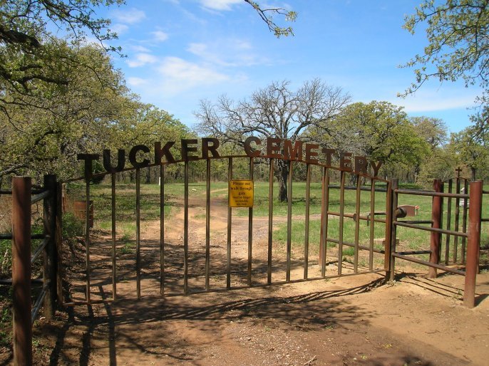
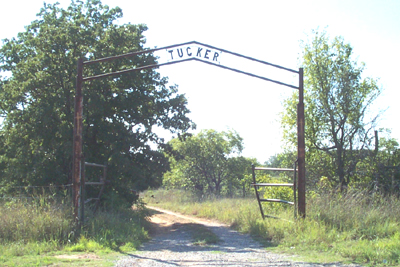
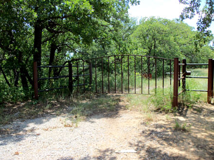
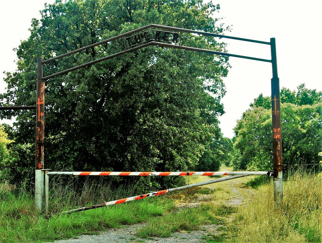
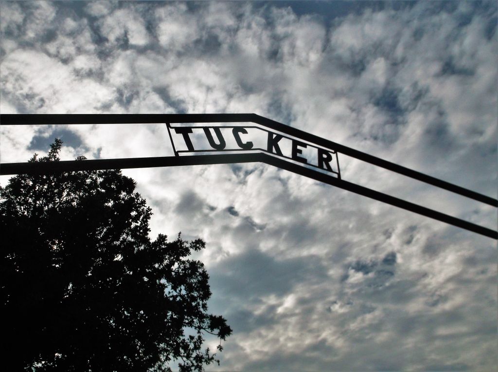
| Description | : | Directions to cemetery: From the junction of State Highway 81 and State Highway 7 at the overpass in South Duncan, travel South on Highway 81 four miles to Intersection of Highway 81 and Terry Road. Turn left on Terry Road and travel three and one half miles to Tucker Road. ( may or may not have a road sign ) Turn Right (South ) and go one and one half miles where you will find on the right the large steel gate with "Tucker" over it on the arch above the gate. The cemetery is about one fourth of a mile down... Read More |
frequently asked questions (FAQ):
-
Where is Tucker Cemetery?
Tucker Cemetery is located at Comanche, Stephens County ,Oklahoma ,USA.
-
Tucker Cemetery cemetery's updated grave count on graveviews.com?
2 memorials
-
Where are the coordinates of the Tucker Cemetery?
Latitude: 34.4139000
Longitude: -97.9159400

Nearby Cemetories:
1. Fairlawn Cemetery
Comanche, Stephens County, USA
Coordinate: 34.3903008, -97.9589005
2. Stoner Cemetery
Stephens County, USA
Coordinate: 34.4343987, -97.8606033
3. Henderson-Harris Cemetery
Duncan, Stephens County, USA
Coordinate: 34.4716988, -97.9460983
4. Weaver Chapel Cemetery
Comanche, Stephens County, USA
Coordinate: 34.3905983, -97.8067017
5. Duncan Municipal Cemetery
Duncan, Stephens County, USA
Coordinate: 34.4963989, -97.9738998
6. First Christian Church Columbarium
Duncan, Stephens County, USA
Coordinate: 34.5027890, -97.9591140
7. Oak Grove Cemetery
Empire City, Stephens County, USA
Coordinate: 34.4195300, -98.0350500
8. All Saints Episcopal Church Cemetery
Duncan, Stephens County, USA
Coordinate: 34.5116400, -97.9568600
9. Old Duncan Cemetery
Duncan, Stephens County, USA
Coordinate: 34.5181900, -97.9258300
10. Woolsey Cemetery
Stephens County, USA
Coordinate: 34.3205986, -97.8242035
11. Folsom-Foster Cemetery
Duncan, Stephens County, USA
Coordinate: 34.5506874, -97.9534471
12. Diamond Cemetery
Stephens County, USA
Coordinate: 34.3319016, -98.0550003
13. Resthaven Memorial Gardens
Duncan, Stephens County, USA
Coordinate: 34.5516700, -97.9651800
14. Parks Cemetery
Stephens County, USA
Coordinate: 34.3950005, -97.7382965
15. Cruce Cemetery
Stephens County, USA
Coordinate: 34.5311110, -97.7938880
16. Hope Cemetery
Marlow, Stephens County, USA
Coordinate: 34.5688460, -97.8401610
17. Monument Hill Burial Site
Addington, Jefferson County, USA
Coordinate: 34.2453200, -97.9222600
18. Stewart Family Cemetery
Velma, Stephens County, USA
Coordinate: 34.4519000, -97.7151000
19. Corum Cemetery
Stephens County, USA
Coordinate: 34.3697014, -98.1222000
20. Colbert Cemetery
Duncan, Stephens County, USA
Coordinate: 34.5654400, -97.8075000
21. Cooper Cemetery
Stephens County, USA
Coordinate: 34.5971985, -97.8677979
22. Eschiti Family Cemetery
Stephens County, USA
Coordinate: 34.4858100, -98.1263400
23. Oak Grove Cemetery
Marlow, Stephens County, USA
Coordinate: 34.6023900, -97.9028100
24. Addington Cemetery
Addington, Jefferson County, USA
Coordinate: 34.2285995, -97.9606018