| Memorials | : | 0 |
| Location | : | Pontiac, Ozark County, USA |
| Coordinate | : | 36.5212030, -92.6120150 |
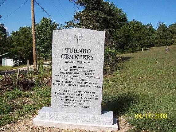
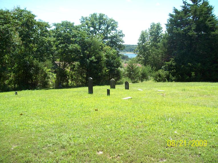
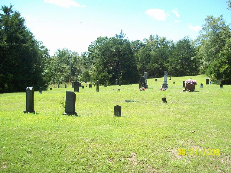
| Description | : | In 1950, in preparation for the impoundment of Bull Shoals Lake, the U. S. Corps of Engineers moved the cemetery to its present rocky slope not far from Pontiac Cemetery. The present location, approximately two acres, was purchased by the Corps of Engineers from William M. Martin. First located between the east side of Little North Fork and the west side of Spring Creek, the cemetery was in existence there before the Civil War. It now lies under the waters of Bull Shoals Lake. When the Corps of Engineers moved the cemetery, existing markers were moved. But where there were no markers... Read More |
frequently asked questions (FAQ):
-
Where is Turnbo Cemetery?
Turnbo Cemetery is located at Pontiac, Ozark County ,Missouri , 65729USA.
-
Turnbo Cemetery cemetery's updated grave count on graveviews.com?
0 memorials
-
Where are the coordinates of the Turnbo Cemetery?
Latitude: 36.5212030
Longitude: -92.6120150
Nearby Cemetories:
1. Pontiac Cemetery
Pontiac, Ozark County, USA
Coordinate: 36.5205100, -92.6075100
2. Price Place Cemetery
Marion County, USA
Coordinate: 36.4805984, -92.6149979
3. Wolf Cemetery
Sundown, Ozark County, USA
Coordinate: 36.5639000, -92.6222000
4. Charity Cemetery
Pontiac, Ozark County, USA
Coordinate: 36.5196991, -92.5393982
5. Isabella Cemetery
Isabella, Ozark County, USA
Coordinate: 36.5831600, -92.6119100
6. Hart Cemetery
Dugginsville, Ozark County, USA
Coordinate: 36.5097008, -92.7003021
7. Friend Cemetery
Isabella, Ozark County, USA
Coordinate: 36.5964700, -92.6160600
8. Lutie Cemetery
Theodosia, Ozark County, USA
Coordinate: 36.5828018, -92.6707993
9. Tempy Hutchison Cemetery
Ozark County, USA
Coordinate: 36.6057170, -92.6351000
10. Reynolds-Upton Cemetery
Ozark County, USA
Coordinate: 36.5778008, -92.5092010
11. Fairview Cemetery
Ozark County, USA
Coordinate: 36.5167007, -92.7394028
12. Baker Cemetery
Thornfield, Ozark County, USA
Coordinate: 36.6250000, -92.6205978
13. Oakland Cemetery
Baxter County, USA
Coordinate: 36.4916992, -92.4878006
14. Oakland Cemetery New
Mountain Home, Baxter County, USA
Coordinate: 36.4917854, -92.4873745
15. New Hope Cemetery
Gainesville, Ozark County, USA
Coordinate: 36.5236015, -92.4819031
16. Noe Cemetery
Oakland, Marion County, USA
Coordinate: 36.4162600, -92.5674900
17. Promise Land Cemetery
Oakland, Marion County, USA
Coordinate: 36.4161300, -92.5670300
18. Centerpoint Cemetery
Gainesville, Ozark County, USA
Coordinate: 36.5823600, -92.4935400
19. Lee Family Cemetery
Baxter County, USA
Coordinate: 36.4278170, -92.5317590
20. Hicks Cemetery
Theodosia, Ozark County, USA
Coordinate: 36.6133003, -92.6996994
21. Absher Cemetery
Thornfield, Ozark County, USA
Coordinate: 36.6386600, -92.6448300
22. Old Midway Cemetery
Yellville, Marion County, USA
Coordinate: 36.4091350, -92.6693860
23. Riggs Cemetery
Ozark County, USA
Coordinate: 36.6531600, -92.6288300
24. Wallace Cemetery
Ozark County, USA
Coordinate: 36.6432991, -92.6832962


