
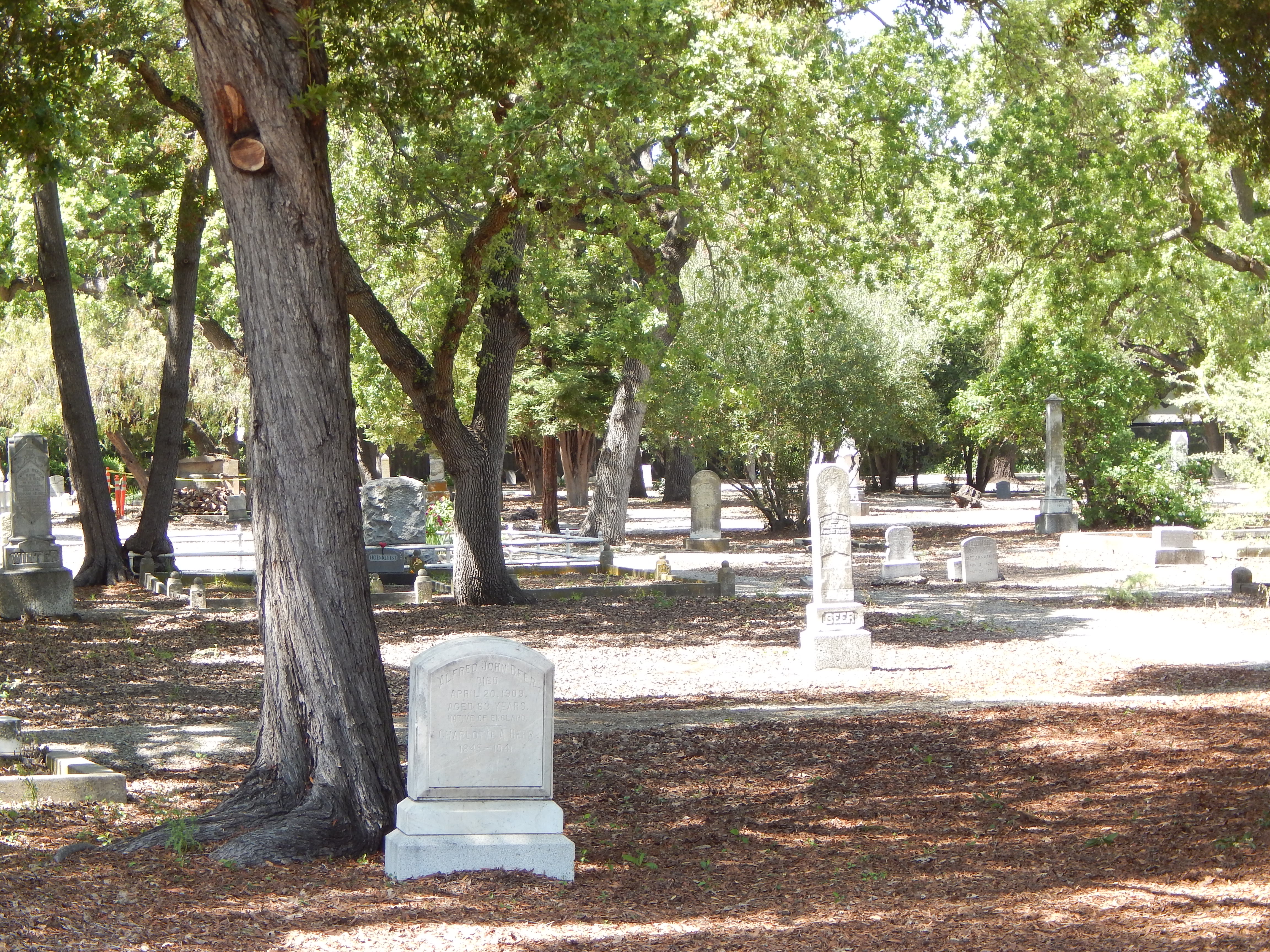
| Memorials | : | 462 |
| Location | : | Redwood City, San Mateo County, USA |
| Website | : | historicunioncemetery.org/ |
| Coordinate | : | 37.4732700, -122.2231360 |
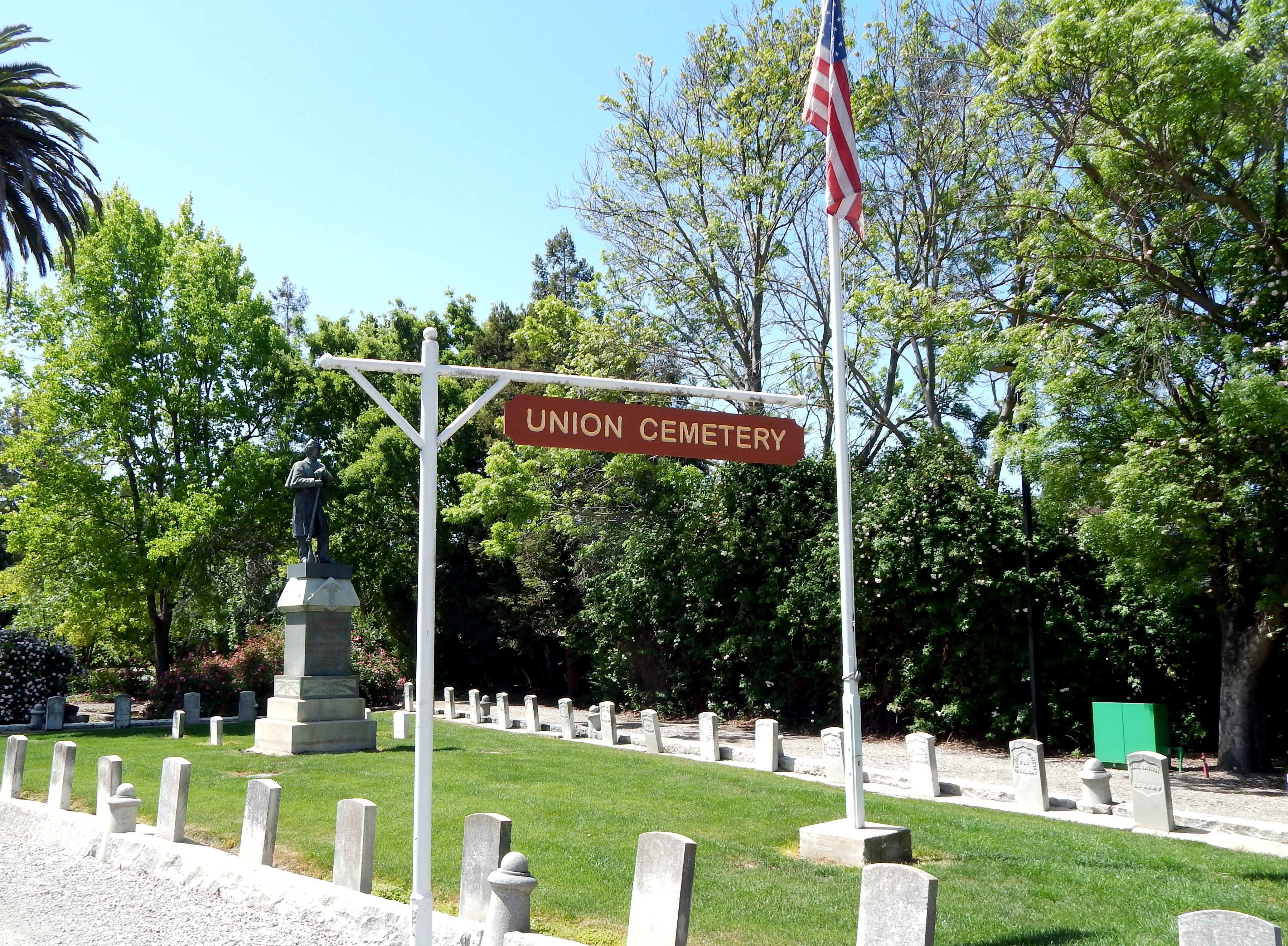
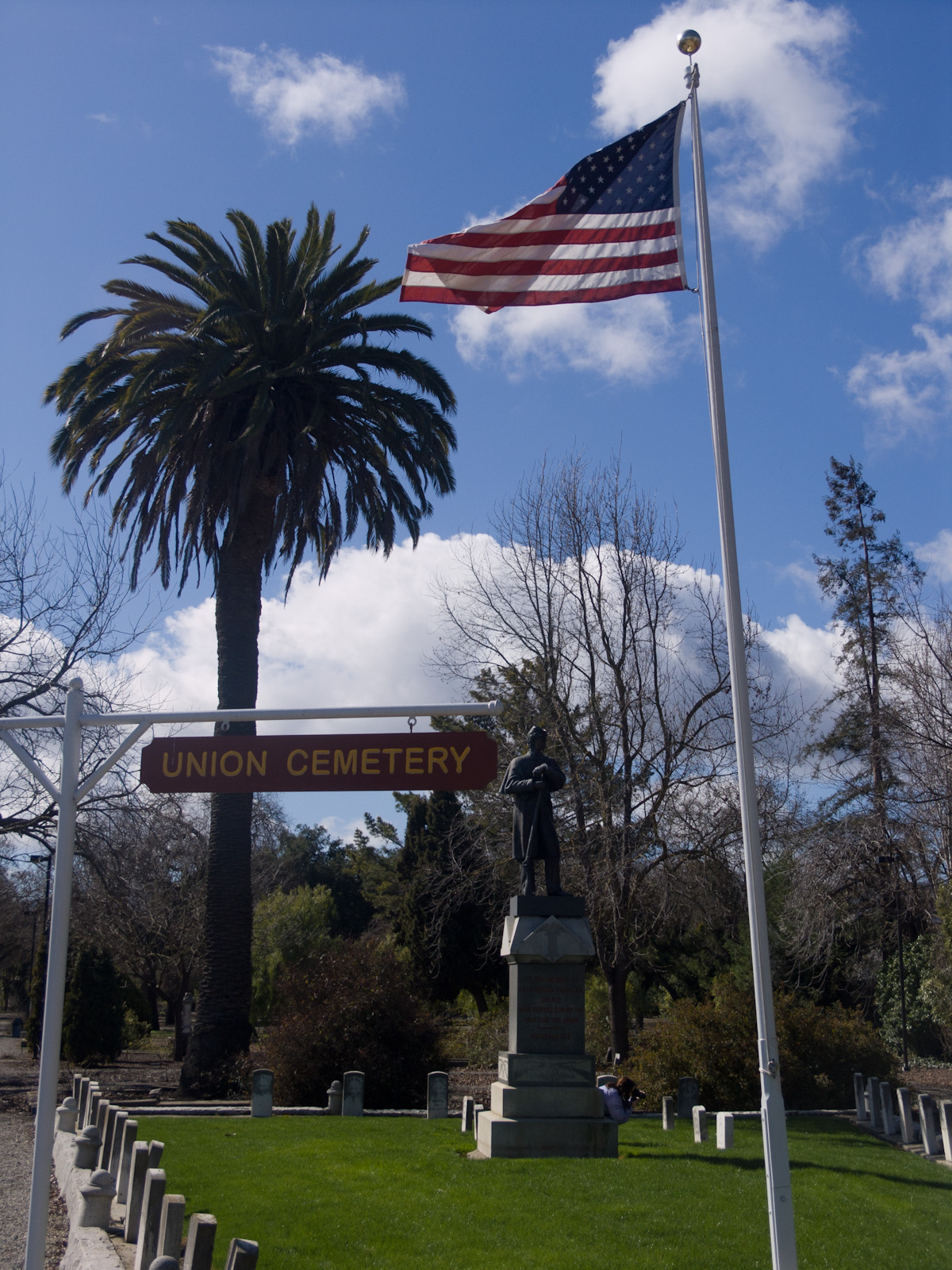
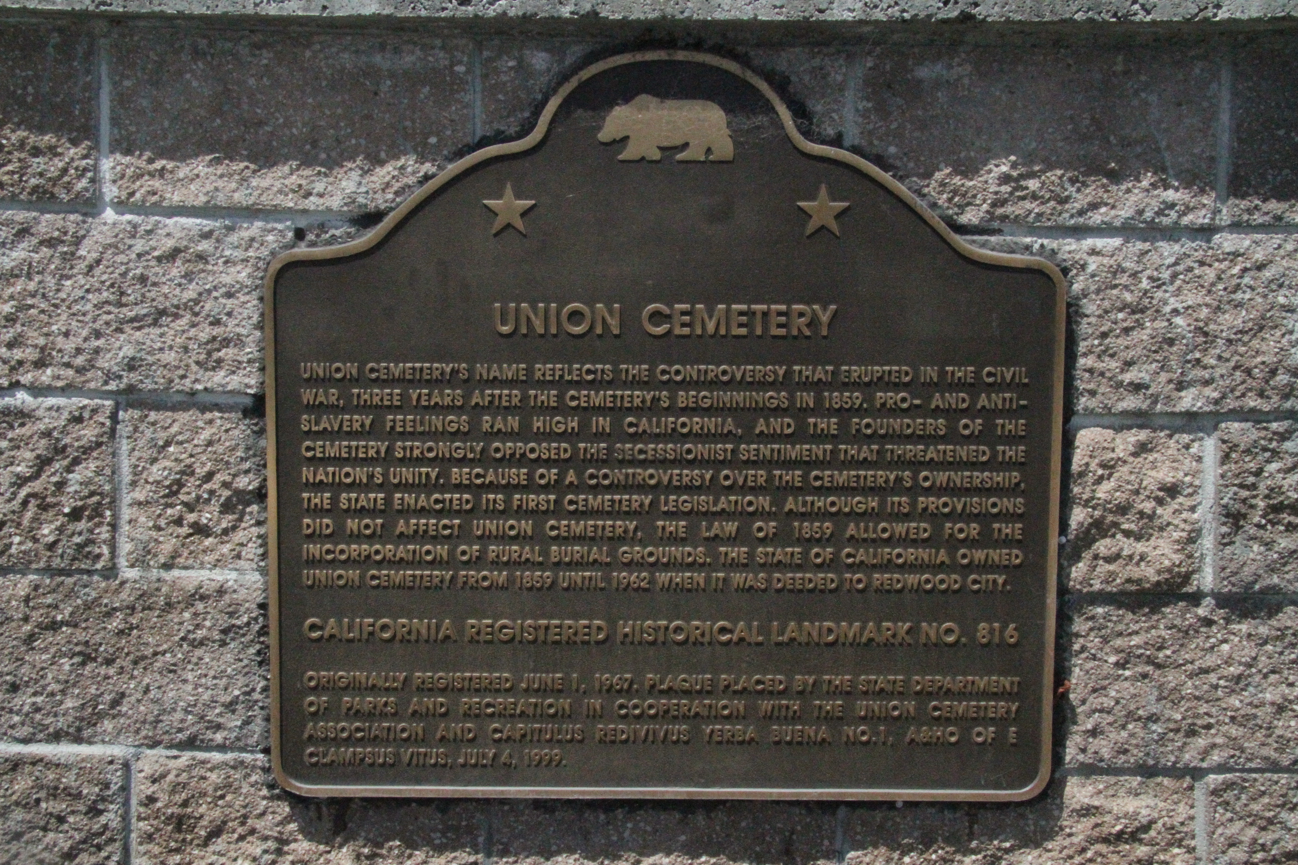
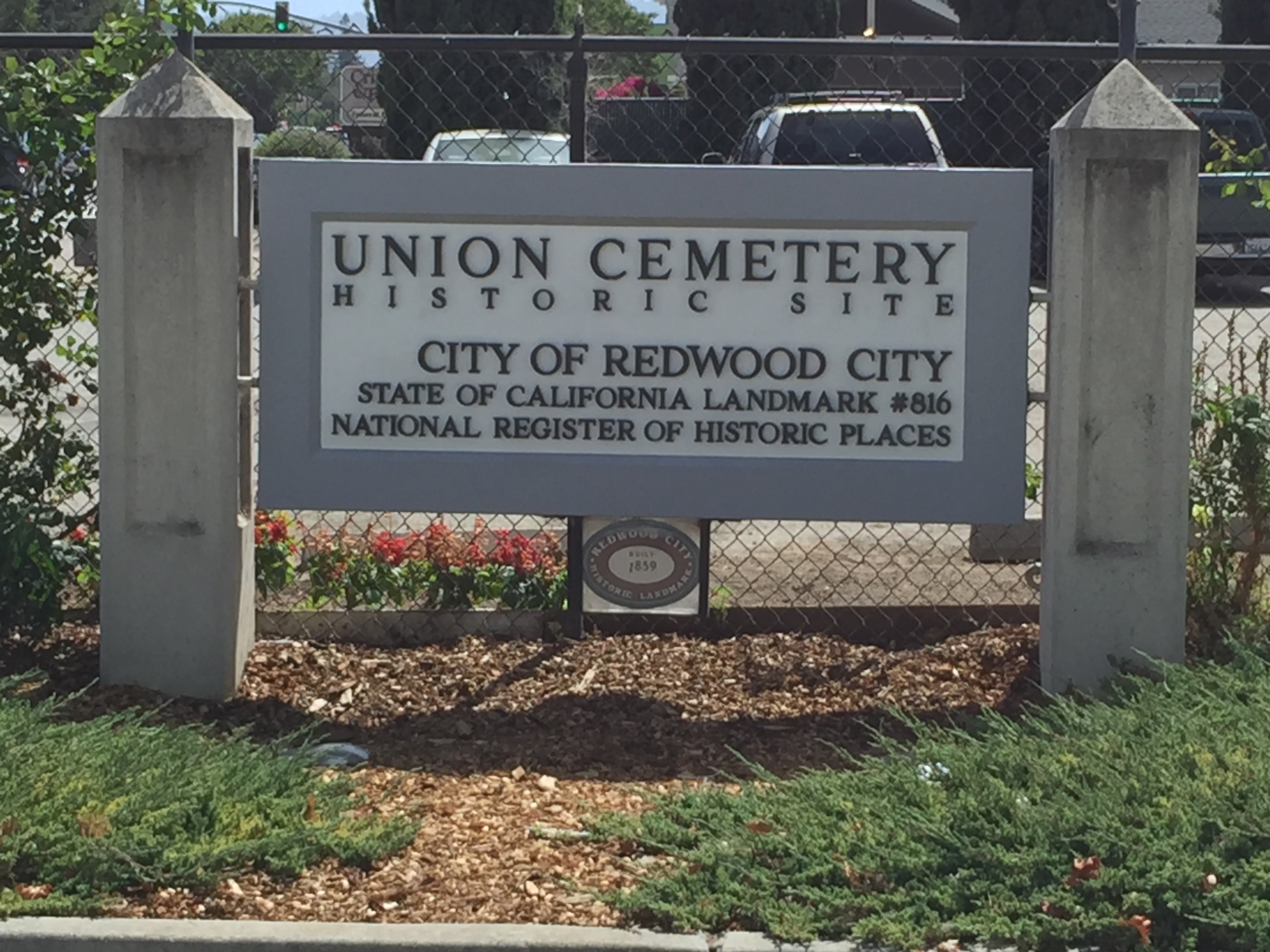
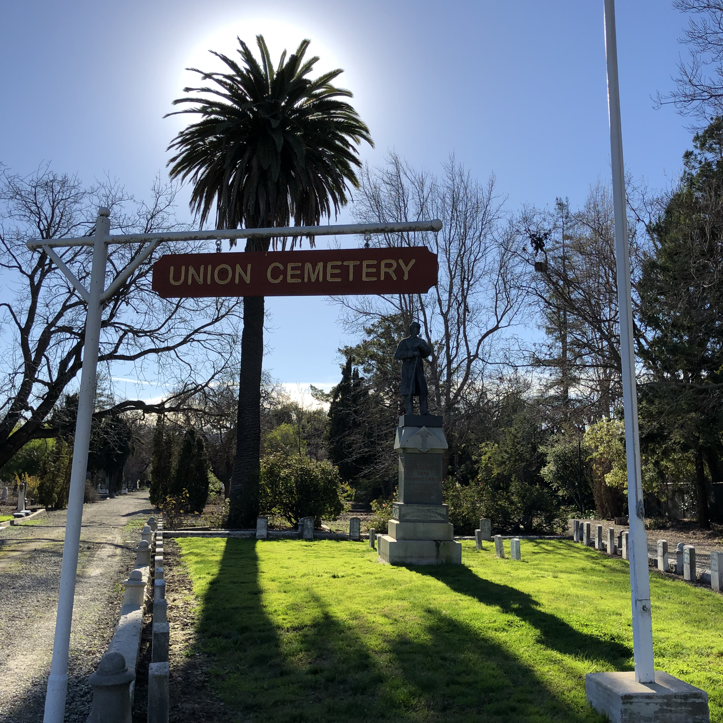
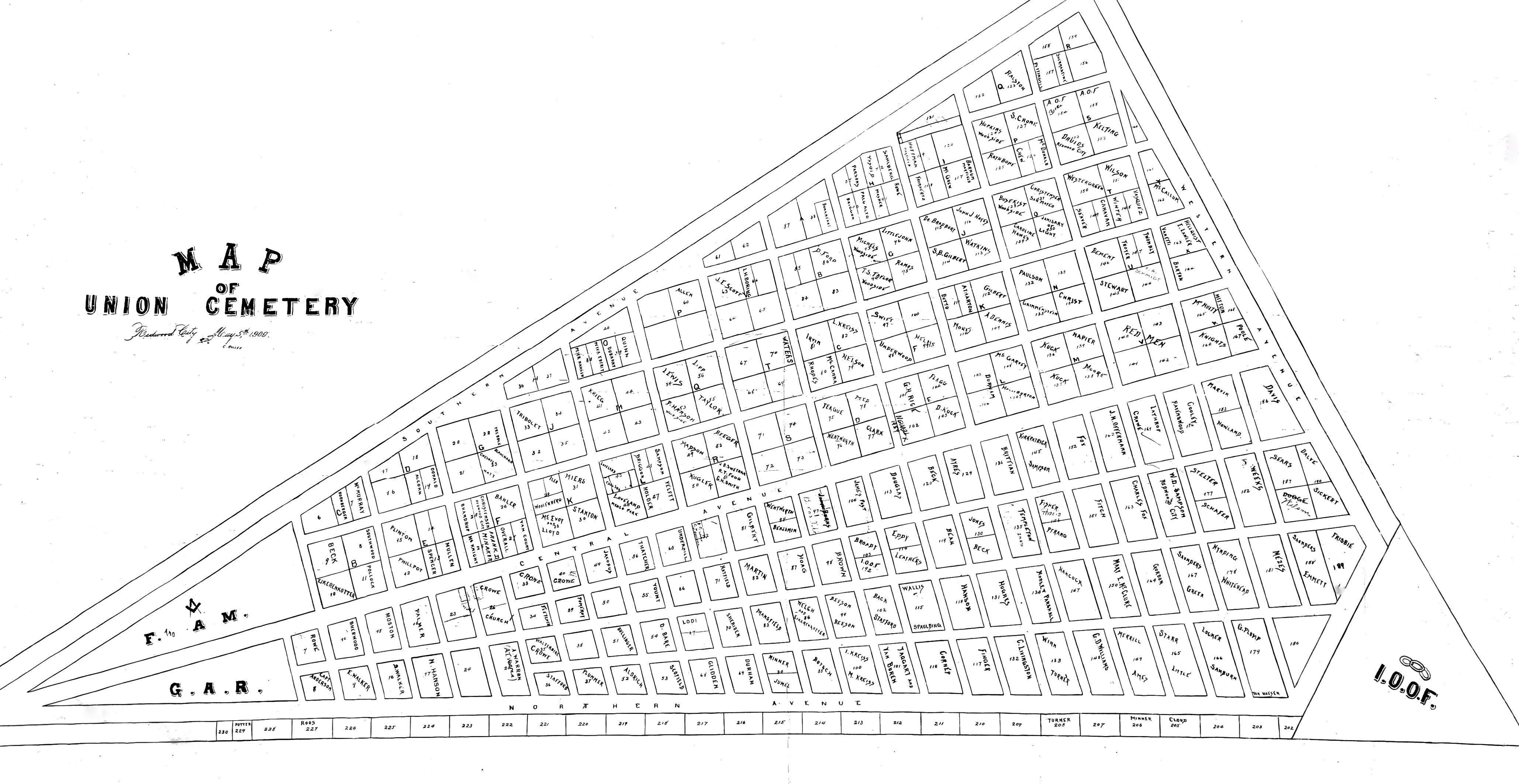
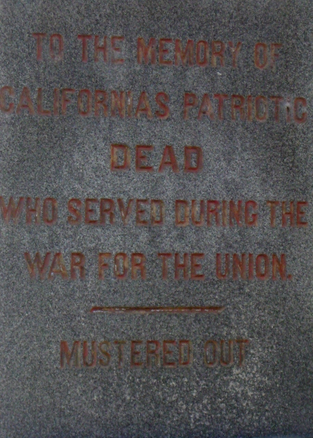
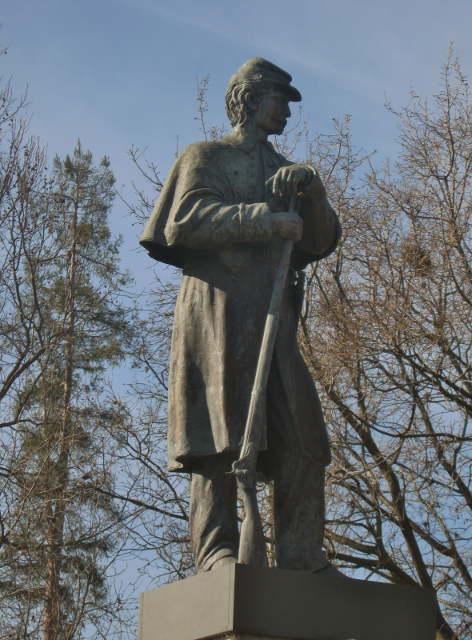
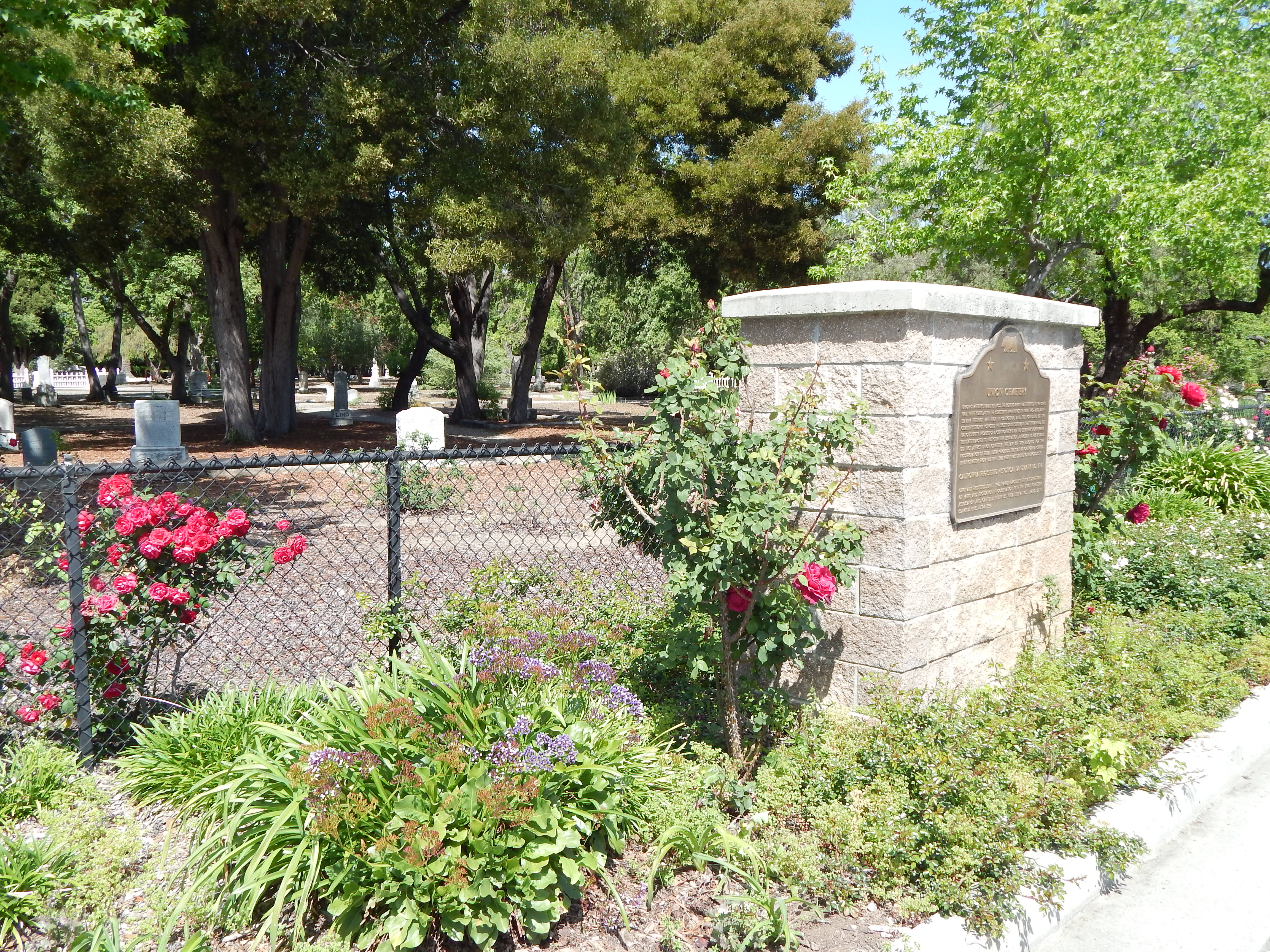
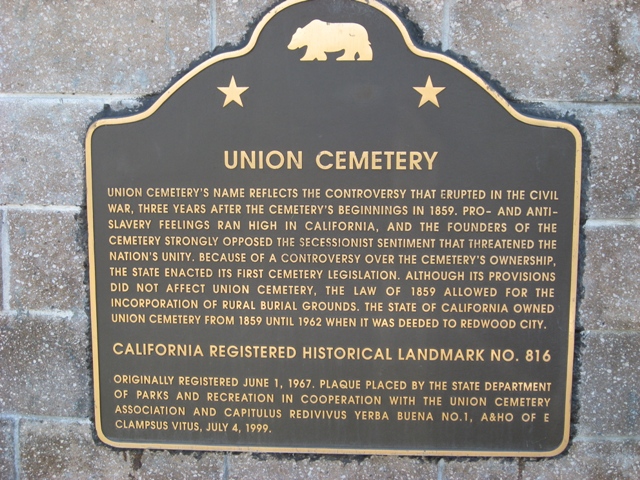
| Description | : | Operated from 1859 to 1963. National Register of Historic Places No.83001237. California State Historic Landmark 816. Union Cemetery's name reflects the controversy that erupted in the Civil War, three years after the cemetery's beginnings in 1859. Pro- and anti-slavery feelings ran high in California, and the founders of the cemetery strongly opposed the secessionist sentiment that threatened the nation's unity. Because of a controversy over the cemetery's ownership, the state enacted its first cemetery legislation, although its provisions did not affect Union Cemetery. The law of 1859 allowed for the incorporation of rural burial grounds. The state of California owned Union Cemetery from... Read More |
frequently asked questions (FAQ):
-
Where is Union Cemetery?
Union Cemetery is located at 316 Woodside Rd. Redwood City, San Mateo County ,California , 94061USA.
-
Union Cemetery cemetery's updated grave count on graveviews.com?
462 memorials
-
Where are the coordinates of the Union Cemetery?
Latitude: 37.4732700
Longitude: -122.2231360
Nearby Cemetories:
1. Saint Peters Episcopal Church Columbarium
Redwood City, San Mateo County, USA
Coordinate: 37.4855750, -122.2389540
2. Oakwood Community Cemetery
Atherton, San Mateo County, USA
Coordinate: 37.4503120, -122.1956310
3. Corpus Christi Monastery
Menlo Park, San Mateo County, USA
Coordinate: 37.4589200, -122.1801900
4. Trinity Episcopal Church Memorial Garden
Menlo Park, San Mateo County, USA
Coordinate: 37.4562300, -122.1789300
5. Holy Cross Catholic Cemetery
Menlo Park, San Mateo County, USA
Coordinate: 37.4350420, -122.1978540
6. Saint Patricks Seminary Chapel Crypt
Menlo Park, San Mateo County, USA
Coordinate: 37.4595050, -122.1680330
7. Saint Bedes Episcopal Church Cemetery
Menlo Park, San Mateo County, USA
Coordinate: 37.4218750, -122.2075210
8. Dennis Martin Cemetery
San Mateo County, USA
Coordinate: 37.4203440, -122.2181370
9. Stanford Family Mausoleum
Palo Alto, Santa Clara County, USA
Coordinate: 37.4364929, -122.1698990
10. All Saints Episcopal Church Memorial Garden
Palo Alto, Santa Clara County, USA
Coordinate: 37.4466933, -122.1592525
11. First United Methodist Church Memorial Garden
Palo Alto, Santa Clara County, USA
Coordinate: 37.4493870, -122.1568630
12. Mathias Alfred Parkhurst Burial Site
Woodside, San Mateo County, USA
Coordinate: 37.4306710, -122.2770660
13. Bourn Family Cemetery
Woodside, San Mateo County, USA
Coordinate: 37.4676100, -122.3124400
14. Saint Marks Episcopal Church All Souls Garden
Palo Alto, Santa Clara County, USA
Coordinate: 37.4318900, -122.1299000
15. Episcopal Church of Transfiguration Memorial Garde
San Mateo, San Mateo County, USA
Coordinate: 37.5273480, -122.3058880
16. Harrington Cemetery
Belmont, San Mateo County, USA
Coordinate: 37.5032997, -122.3238983
17. Christ Episcopal Church Churchyard Columbarium
Portola Valley, San Mateo County, USA
Coordinate: 37.3821670, -122.2304160
18. San Mateo County Poor Farm Cemetery
San Mateo, San Mateo County, USA
Coordinate: 37.5153430, -122.3350060
19. Gorilla Foundation Sanctuary
Woodside, San Mateo County, USA
Coordinate: 37.3750160, -122.2604360
20. Alta Mesa Memorial Park
Palo Alto, Santa Clara County, USA
Coordinate: 37.3990200, -122.1288300
21. Saint John's Cemetery
San Mateo, San Mateo County, USA
Coordinate: 37.5483017, -122.3358002
22. Gan Hazikaron Cemetery
San Mateo, San Mateo County, USA
Coordinate: 37.4960740, -122.3683830
23. Skylawn Memorial Park
San Mateo, San Mateo County, USA
Coordinate: 37.4967120, -122.3697780
24. Mountain View Buddhist Church
Mountain View, Santa Clara County, USA
Coordinate: 37.4020680, -122.0774160