
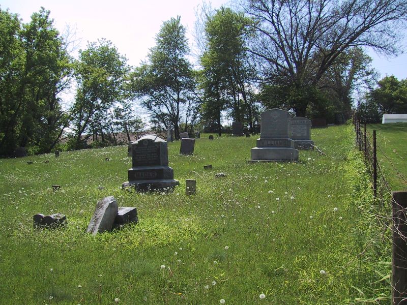
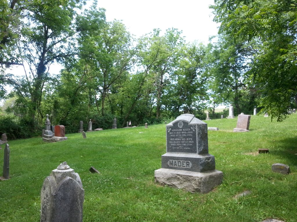
| Memorials | : | 4 |
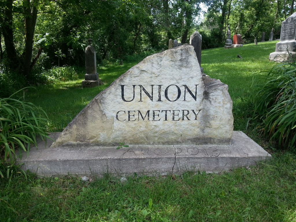
| Location | : | Pleasant Valley, Jo Daviess County, USA |
| Coordinate | : | 42.2183450, -89.9538060 |
frequently asked questions (FAQ):
-
Where is Union Cemetery?
Union Cemetery is located at S Skunk Hollow Road Pleasant Valley, Jo Daviess County ,Illinois , 61053USA.
-
Union Cemetery cemetery's updated grave count on graveviews.com?
4 memorials
-
Where are the coordinates of the Union Cemetery?
Latitude: 42.2183450
Longitude: -89.9538060
Nearby Cemetories:
1. Loran Methodist Cemetery
Stephenson County, USA
Coordinate: 42.2402900, -89.9060900
2. Clay Cemetery
Berreman Township, Jo Daviess County, USA
Coordinate: 42.2531013, -89.9216995
3. Salem United Church of Christ Loran Cemetery
Loran, Stephenson County, USA
Coordinate: 42.2405900, -89.9051500
4. Renner Family Cemetery
Carroll County, USA
Coordinate: 42.1891708, -89.9102783
5. Ebenezer Cemetery
Pearl City, Stephenson County, USA
Coordinate: 42.2178800, -89.8805600
6. Deeds Cemetery
Pleasant Valley, Jo Daviess County, USA
Coordinate: 42.2148819, -90.0296936
7. Good Hope Cemetery
Pleasant Valley, Jo Daviess County, USA
Coordinate: 42.2087631, -90.0623093
8. Yankee Hollow Cemetery
Pleasant Valley, Jo Daviess County, USA
Coordinate: 42.2761800, -90.0329220
9. Arnolds Grove Dunkard Cemetery
Mount Carroll, Carroll County, USA
Coordinate: 42.1338610, -89.9436900
10. Morseville Cemetery
Morseville, Jo Daviess County, USA
Coordinate: 42.3055458, -89.9788742
11. Arnolds Grove Cemetery
Carroll County, USA
Coordinate: 42.1283302, -89.9436111
12. Blair Cemetery
Jo Daviess County, USA
Coordinate: 42.3093987, -89.9375000
13. Plum River Cemetery
Jo Daviess County, USA
Coordinate: 42.2806015, -90.0475006
14. Woodland Brethren Cemetery
Mount Carroll, Carroll County, USA
Coordinate: 42.1277809, -89.9877777
15. Kelloggs Grove Cemetery
Stephenson County, USA
Coordinate: 42.2971900, -89.8827500
16. Wolfe Cemetery
Georgetown, Carroll County, USA
Coordinate: 42.1357994, -89.8711014
17. Zion Cemetery
Mount Carroll, Carroll County, USA
Coordinate: 42.1841698, -90.0847168
18. Sabin Cemetery
Stephenson County, USA
Coordinate: 42.2275207, -89.8062302
19. Highland Cemetery
Pearl City, Stephenson County, USA
Coordinate: 42.2756004, -89.8268967
20. Spring Valley Cemetery
Carroll County, USA
Coordinate: 42.1850014, -89.8099976
21. Yellow Creek Cemetery
Kent, Stephenson County, USA
Coordinate: 42.3056500, -89.8564800
22. Kent Lutheran Cemetery
Stephenson County, USA
Coordinate: 42.3280983, -89.9039001
23. Oak Hill Cemetery
Mount Carroll, Carroll County, USA
Coordinate: 42.1033287, -89.9861069
24. Cherry Grove Brethren Cemetery
Lanark, Carroll County, USA
Coordinate: 42.1450005, -89.8261108