| Memorials | : | 0 |
| Location | : | Georgetown, Carroll County, USA |
| Coordinate | : | 42.1357994, -89.8711014 |
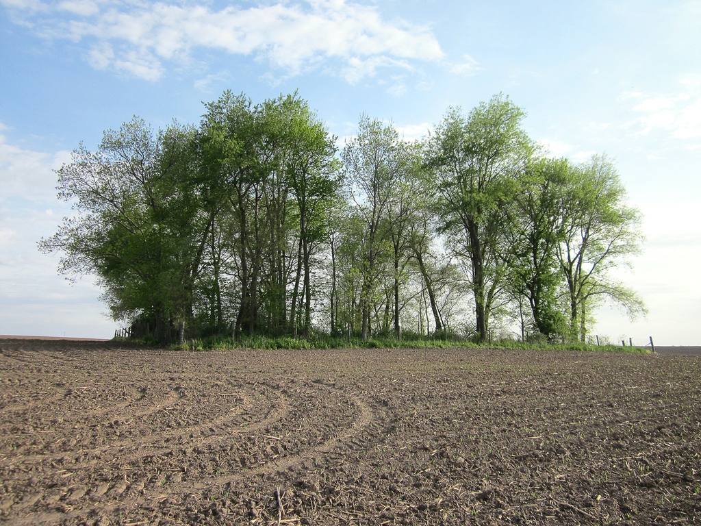
| Description | : | WOLFE CEMETERY Freedom Twp. ~ Carroll Co IL Wolfe Cemetery is located in Freedom Twp., IL, East Georgetown Road on the Lower Farm, NE ¼ of Section 25, Twp 25 - R5E. The 1893 Plat Map shows this property to be part of the John Laird Estate (The Lanark Exchange State Bank and the Lanark Public Library have copies of the 1893 Plat Map). The present property owner is Dave Shaulis. The cemetery is no longer in use. It was read by the Carroll Co., Genealogical Society on June 20, 1978 by Mrs. Robert (Priscilla) Mace and Mrs. Vaughn (Pat) Gaar. The... Read More |
frequently asked questions (FAQ):
-
Where is Wolfe Cemetery?
Wolfe Cemetery is located at Georgetown Road Georgetown, Carroll County ,Illinois , 61046USA.
-
Wolfe Cemetery cemetery's updated grave count on graveviews.com?
0 memorials
-
Where are the coordinates of the Wolfe Cemetery?
Latitude: 42.1357994
Longitude: -89.8711014
Nearby Cemetories:
1. Cherry Grove Brethren Cemetery
Lanark, Carroll County, USA
Coordinate: 42.1450005, -89.8261108
2. Lanark City Cemetery
Lanark, Carroll County, USA
Coordinate: 42.0966682, -89.8261108
3. Arnolds Grove Dunkard Cemetery
Mount Carroll, Carroll County, USA
Coordinate: 42.1338610, -89.9436900
4. Arnolds Grove Cemetery
Carroll County, USA
Coordinate: 42.1283302, -89.9436111
5. Renner Family Cemetery
Carroll County, USA
Coordinate: 42.1891708, -89.9102783
6. Spring Valley Cemetery
Carroll County, USA
Coordinate: 42.1850014, -89.8099976
7. Ebenezer Cemetery
Pearl City, Stephenson County, USA
Coordinate: 42.2178800, -89.8805600
8. Woodland Brethren Cemetery
Mount Carroll, Carroll County, USA
Coordinate: 42.1277809, -89.9877777
9. Oak Hill Cemetery
Mount Carroll, Carroll County, USA
Coordinate: 42.1033287, -89.9861069
10. Saint Wendelin Cemetery
Shannon, Carroll County, USA
Coordinate: 42.1549988, -89.7506027
11. Oakville Cemetery
Mount Carroll, Carroll County, USA
Coordinate: 42.0501862, -89.9262314
12. Shannon Brethren Cemetery
Shannon, Carroll County, USA
Coordinate: 42.1458282, -89.7433319
13. Union Cemetery
Pleasant Valley, Jo Daviess County, USA
Coordinate: 42.2183450, -89.9538060
14. Sabin Cemetery
Stephenson County, USA
Coordinate: 42.2275207, -89.8062302
15. Carroll County Farm Cemetery
Mount Carroll, Carroll County, USA
Coordinate: 42.0722050, -89.9848680
16. Trinity Lutheran Church Cemetery
Mount Carroll, Carroll County, USA
Coordinate: 42.0505600, -89.9588928
17. Loran Methodist Cemetery
Stephenson County, USA
Coordinate: 42.2402900, -89.9060900
18. Salem United Church of Christ Loran Cemetery
Loran, Stephenson County, USA
Coordinate: 42.2405900, -89.9051500
19. Shelly Cemetery
Shannon, Carroll County, USA
Coordinate: 42.1553001, -89.7164001
20. Daggert Cemetery
Mount Carroll, Carroll County, USA
Coordinate: 42.0377808, -89.9583282
21. Clay Cemetery
Berreman Township, Jo Daviess County, USA
Coordinate: 42.2531013, -89.9216995
22. Chadwick Cemetery
Chadwick, Carroll County, USA
Coordinate: 42.0097198, -89.8680573
23. Hope Brethren Cemetery
Chadwick, Carroll County, USA
Coordinate: 42.0116855, -89.9176153
24. Black Oak Cemetery
Chadwick, Carroll County, USA
Coordinate: 42.0122185, -89.9372177

