
| Memorials | : | 3 |
| Location | : | Mount Carroll, Carroll County, USA |
| Coordinate | : | 42.1841698, -90.0847168 |
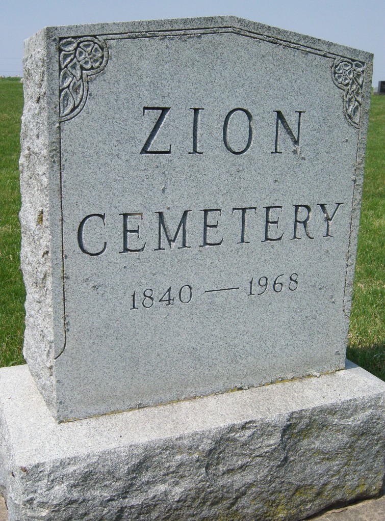
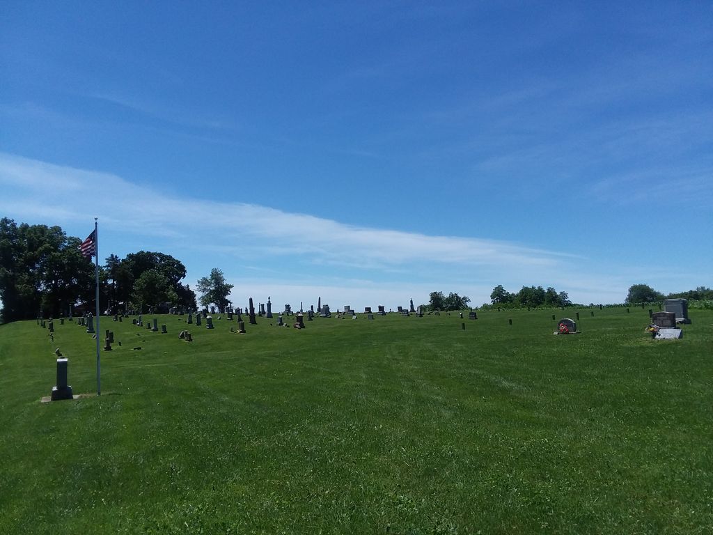
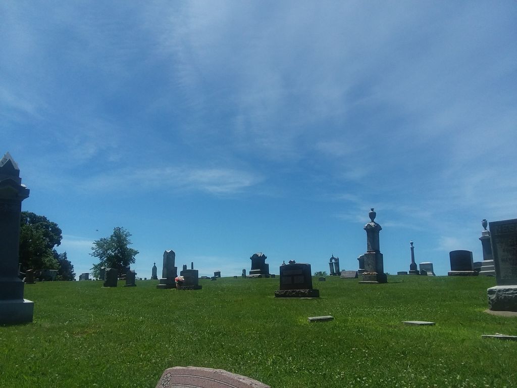
| Description | : | The cemetery is located in Woodland Township on the west side of Zion Road. The U.S. Geological Survey (USGS) Geographic Names Information System (GNIS) feature ID for the cemetery is 1785454 (Zion Cemetery / Zion Presbyterian Cemetery). |
frequently asked questions (FAQ):
-
Where is Zion Cemetery?
Zion Cemetery is located at Zion Road Mount Carroll, Carroll County ,Illinois , 61074USA.
-
Zion Cemetery cemetery's updated grave count on graveviews.com?
3 memorials
-
Where are the coordinates of the Zion Cemetery?
Latitude: 42.1841698
Longitude: -90.0847168


Nearby Cemetories:
1. Good Hope Cemetery
Pleasant Valley, Jo Daviess County, USA
Coordinate: 42.2087631, -90.0623093
2. Saint Peters Lutheran Cemetery
Savanna, Carroll County, USA
Coordinate: 42.1758900, -90.1486210
3. Deeds Cemetery
Pleasant Valley, Jo Daviess County, USA
Coordinate: 42.2148819, -90.0296936
4. Albrecht Cemetery
Massbach, Jo Daviess County, USA
Coordinate: 42.2228012, -90.1455994
5. Massbach Cemetery
Massbach, Jo Daviess County, USA
Coordinate: 42.2303009, -90.1352997
6. Morrison Cemetery
Hanover, Jo Daviess County, USA
Coordinate: 42.2397003, -90.1596985
7. Woodland Brethren Cemetery
Mount Carroll, Carroll County, USA
Coordinate: 42.1277809, -89.9877777
8. Free Family Cemetery
Mount Carroll Township, Carroll County, USA
Coordinate: 42.0907590, -90.0767000
9. Derinda Center-Trinity Lutheran Cemetery
Elizabeth, Jo Daviess County, USA
Coordinate: 42.2505989, -90.1748352
10. Yankee Hollow Cemetery
Pleasant Valley, Jo Daviess County, USA
Coordinate: 42.2761800, -90.0329220
11. Plum River Cemetery
Jo Daviess County, USA
Coordinate: 42.2806015, -90.0475006
12. Union Cemetery
Pleasant Valley, Jo Daviess County, USA
Coordinate: 42.2183450, -89.9538060
13. Center Hill Cemetery
Center Hill, Carroll County, USA
Coordinate: 42.0813904, -90.0425034
14. Oak Hill Cemetery
Mount Carroll, Carroll County, USA
Coordinate: 42.1033287, -89.9861069
15. Saint John the Baptist Catholic Cemetery
Savanna, Carroll County, USA
Coordinate: 42.0793991, -90.1280975
16. Savanna Township Cemetery
Savanna, Carroll County, USA
Coordinate: 42.0791702, -90.1297226
17. Flack-Bethel-Rush Creek Cemetery
Woodbine, Jo Daviess County, USA
Coordinate: 42.2934990, -90.1261230
18. Arnolds Grove Dunkard Cemetery
Mount Carroll, Carroll County, USA
Coordinate: 42.1338610, -89.9436900
19. Evergreen Cemetery
Sabula, Jackson County, USA
Coordinate: 42.0966682, -90.1913910
20. Arnolds Grove Cemetery
Carroll County, USA
Coordinate: 42.1283302, -89.9436111
21. Old Barrett School Burial Site
Elizabeth, Jo Daviess County, USA
Coordinate: 42.2839720, -90.1758350
22. Renner Family Cemetery
Carroll County, USA
Coordinate: 42.1891708, -89.9102783
23. Hickory Grove Cemetery
Mount Carroll, Carroll County, USA
Coordinate: 42.0578651, -90.0461960
24. Saint Peters Cemetery
Sabula, Jackson County, USA
Coordinate: 42.0844002, -90.1988983