
| Memorials | : | 79 |
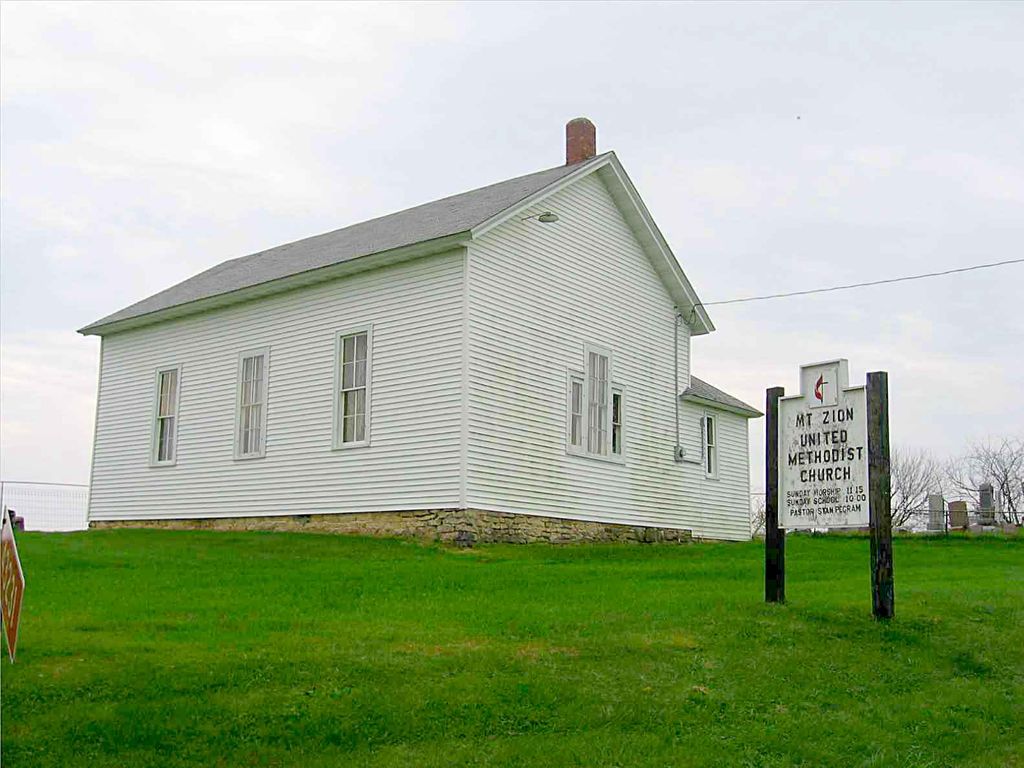
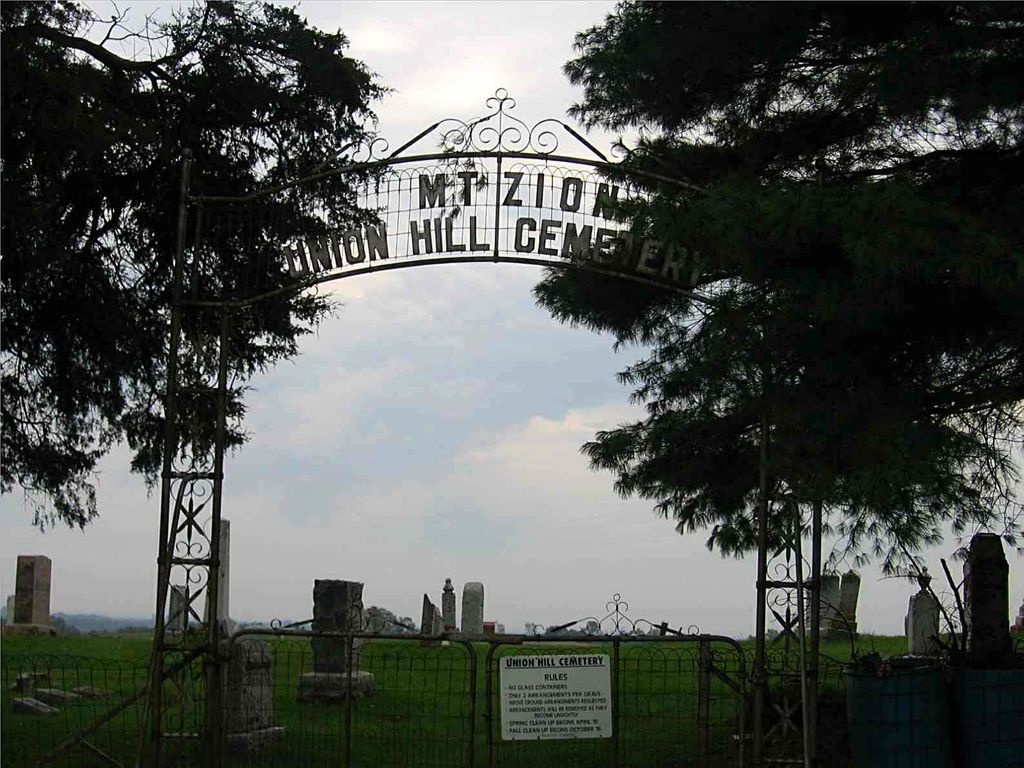
| Location | : | Mount Zion, Crawford County, USA |
| Coordinate | : | 43.2557210, -90.7309770 |
frequently asked questions (FAQ):
-
Where is Union Hill Cemetery?
Union Hill Cemetery is located at Mount Zion, Crawford County ,Wisconsin ,USA.
-
Union Hill Cemetery cemetery's updated grave count on graveviews.com?
72 memorials
-
Where are the coordinates of the Union Hill Cemetery?
Latitude: 43.2557210
Longitude: -90.7309770
Nearby Cemetories:
1. Saint Patricks Cemetery
Mount Zion, Crawford County, USA
Coordinate: 43.2397003, -90.6956024
2. Mount Pleasant Cemetery
Mount Zion, Crawford County, USA
Coordinate: 43.2523500, -90.7845170
3. Coleman-Whiteaker Cemetery
Bell Center, Crawford County, USA
Coordinate: 43.2919998, -90.7740021
4. Haney Ridge Cemetery
Barnum, Crawford County, USA
Coordinate: 43.2343830, -90.7907330
5. Graves Cemetery
Barnum, Crawford County, USA
Coordinate: 43.2200012, -90.7893982
6. Union Steele Green Cemetery
Harmony Hill, Crawford County, USA
Coordinate: 43.1986008, -90.7164001
7. West Fork Cemetery
Excelsior, Richland County, USA
Coordinate: 43.2630997, -90.6500015
8. Crow Creek Cemetery
Prairie du Chien, Crawford County, USA
Coordinate: 43.2744200, -90.8162400
9. Chitwood Cemetery
Westport, Richland County, USA
Coordinate: 43.2245120, -90.6509830
10. Mook Cemetery
Rolling Ground, Crawford County, USA
Coordinate: 43.3278000, -90.7400000
11. Saint Phillips Catholic Cemetery
Rolling Ground, Crawford County, USA
Coordinate: 43.3280400, -90.7195700
12. Tavera Cemetery
Tavera, Richland County, USA
Coordinate: 43.2846985, -90.6350021
13. Bell Center Cemetery
Bell Center, Crawford County, USA
Coordinate: 43.2851000, -90.8271330
14. Haskins Cemetery
Excelsior, Richland County, USA
Coordinate: 43.2346992, -90.6271973
15. Pioneer Wood Cook Reynolds Cemetery
Steuben, Crawford County, USA
Coordinate: 43.1876280, -90.7852540
16. Barnum Cemetery
Barnum, Crawford County, USA
Coordinate: 43.2226670, -90.8343670
17. Wayne #1 Cemetery
Marietta, Crawford County, USA
Coordinate: 43.1699982, -90.7035980
18. Cisco Dremsa Farm Cemetery
Boscobel, Grant County, USA
Coordinate: 43.1695260, -90.7017966
19. Pleasant Mound Cemetery
Easter Rock, Crawford County, USA
Coordinate: 43.1632996, -90.7630997
20. Brown Family Cemetery
Gays Mills, Crawford County, USA
Coordinate: 43.3117600, -90.8431100
21. Haney Valley Cemetery
Petersburg, Crawford County, USA
Coordinate: 43.2461014, -90.8681030
22. Montgomeryville Cemetery
Montgomeryville, Crawford County, USA
Coordinate: 43.3567830, -90.7451000
23. Posey Cemetery
Steuben, Crawford County, USA
Coordinate: 43.1810989, -90.8283005
24. Gays Mills Cemetery
Gays Mills, Crawford County, USA
Coordinate: 43.3244019, -90.8392029