
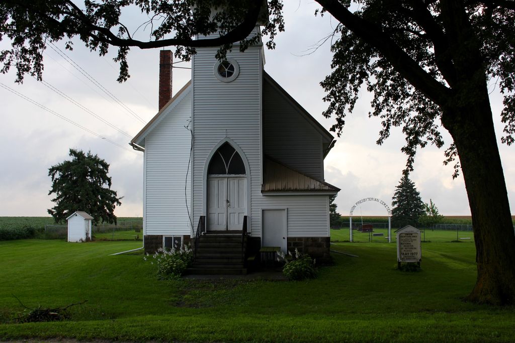
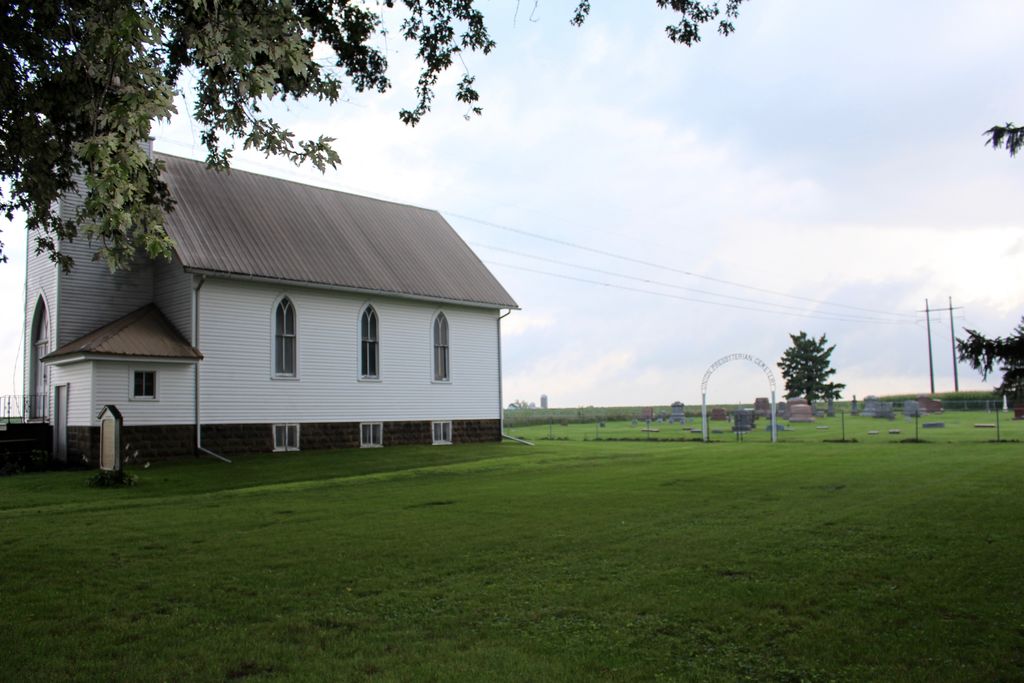
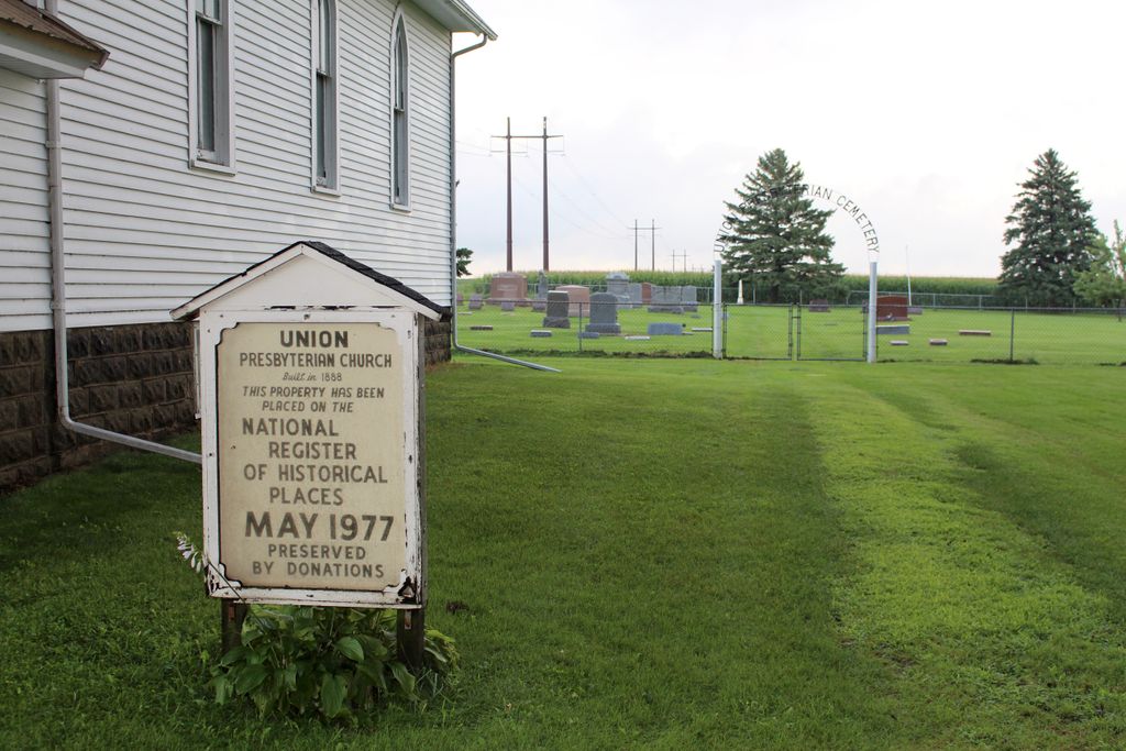
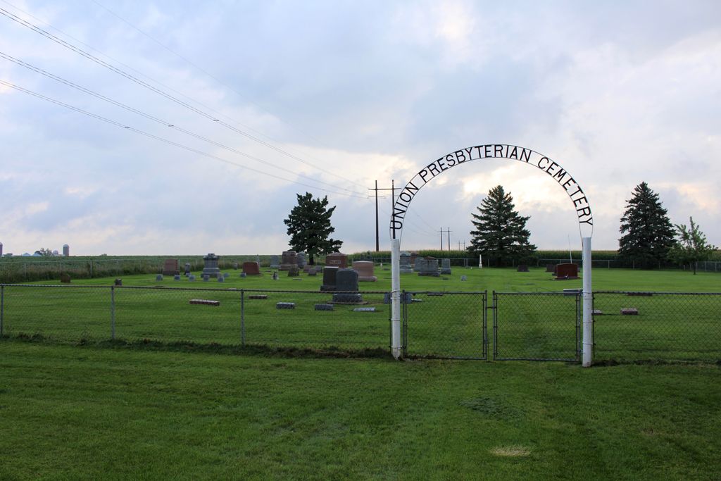
| Memorials | : | 13 |
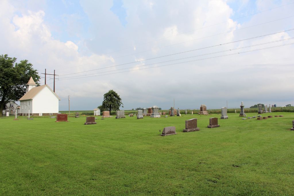
| Location | : | Stacyville, Mitchell County, USA |
| Coordinate | : | 43.4797211, -92.8088913 |
| Description | : | About 2.5 Miles north and 1 mile west of Stacyville Located in Section 13, TWP 100N, RNG 17W Union Township |
frequently asked questions (FAQ):
-
Where is Union Presbyterian Cemetery?
Union Presbyterian Cemetery is located at Stacyville, Mitchell County ,Iowa ,USA.
-
Union Presbyterian Cemetery cemetery's updated grave count on graveviews.com?
13 memorials
-
Where are the coordinates of the Union Presbyterian Cemetery?
Latitude: 43.4797211
Longitude: -92.8088913
Nearby Cemetories:
1. Union Township Cemetery
Toeterville, Mitchell County, USA
Coordinate: 43.4578018, -92.8491974
2. Saint Johns Cemetery
Johnsburg, Mower County, USA
Coordinate: 43.5055618, -92.7688904
3. Visitation Catholic Cemetery
Stacyville, Mitchell County, USA
Coordinate: 43.4430618, -92.7813873
4. Stacyville Cemetery
Stacyville, Mitchell County, USA
Coordinate: 43.4294014, -92.7908020
5. Six Mile Grove Cemetery
Lyle, Mower County, USA
Coordinate: 43.5069389, -92.8836136
6. Saint Peter Cemetery
Toeterville, Mitchell County, USA
Coordinate: 43.4402809, -92.8897171
7. Sacred Heart Cemetery
Meyer, Mitchell County, USA
Coordinate: 43.4583282, -92.7011108
8. Mona Cemetery
Mona, Mitchell County, USA
Coordinate: 43.4824982, -92.9402771
9. Rustad Cemetery
Otranto, Mitchell County, USA
Coordinate: 43.4585991, -92.9400024
10. Pleasant Hill Cemetery
Mona, Mitchell County, USA
Coordinate: 43.4768982, -92.9467010
11. Little Cedar Cemetery
Adams, Mower County, USA
Coordinate: 43.5736008, -92.7574997
12. Sacred Heart Cemetery
Adams, Mower County, USA
Coordinate: 43.5635986, -92.7221985
13. Liberty Cemetery
Little Cedar, Mitchell County, USA
Coordinate: 43.3856010, -92.7230988
14. Saint Patricks Church Cemetery
McIntire, Mitchell County, USA
Coordinate: 43.4771996, -92.6508026
15. Robbins Cemetery
David (historical), Mitchell County, USA
Coordinate: 43.4150009, -92.6718979
16. Ogden Cemetery
Otranto, Mitchell County, USA
Coordinate: 43.4366989, -92.9681015
17. Saint Peters Cemetery
Rose Creek, Mower County, USA
Coordinate: 43.6019402, -92.8375015
18. First Lutheran Cemetery
Saint Ansgar, Mitchell County, USA
Coordinate: 43.3841705, -92.9194412
19. Saint Ansgar Cemetery
Saint Ansgar, Mitchell County, USA
Coordinate: 43.3777809, -92.9094391
20. McKinley Cemetery
Saint Ansgar, Mitchell County, USA
Coordinate: 43.3906400, -92.9368300
21. Prairie View Cemetery
Rose Creek, Mower County, USA
Coordinate: 43.6085815, -92.8261871
22. Immanuel Lutheran Cemetery
Saint Ansgar, Mitchell County, USA
Coordinate: 43.3717003, -92.9257965
23. Blakestad Cemetery
Saint Ansgar, Mitchell County, USA
Coordinate: 43.3711014, -92.9400024
24. Marshall Lutheran Church Cemetery
Adams, Mower County, USA
Coordinate: 43.5950012, -92.6885986