| Memorials | : | 0 |
| Location | : | Stowmarket, Mid Suffolk District, England |
| Coordinate | : | 52.1869020, 0.9966670 |
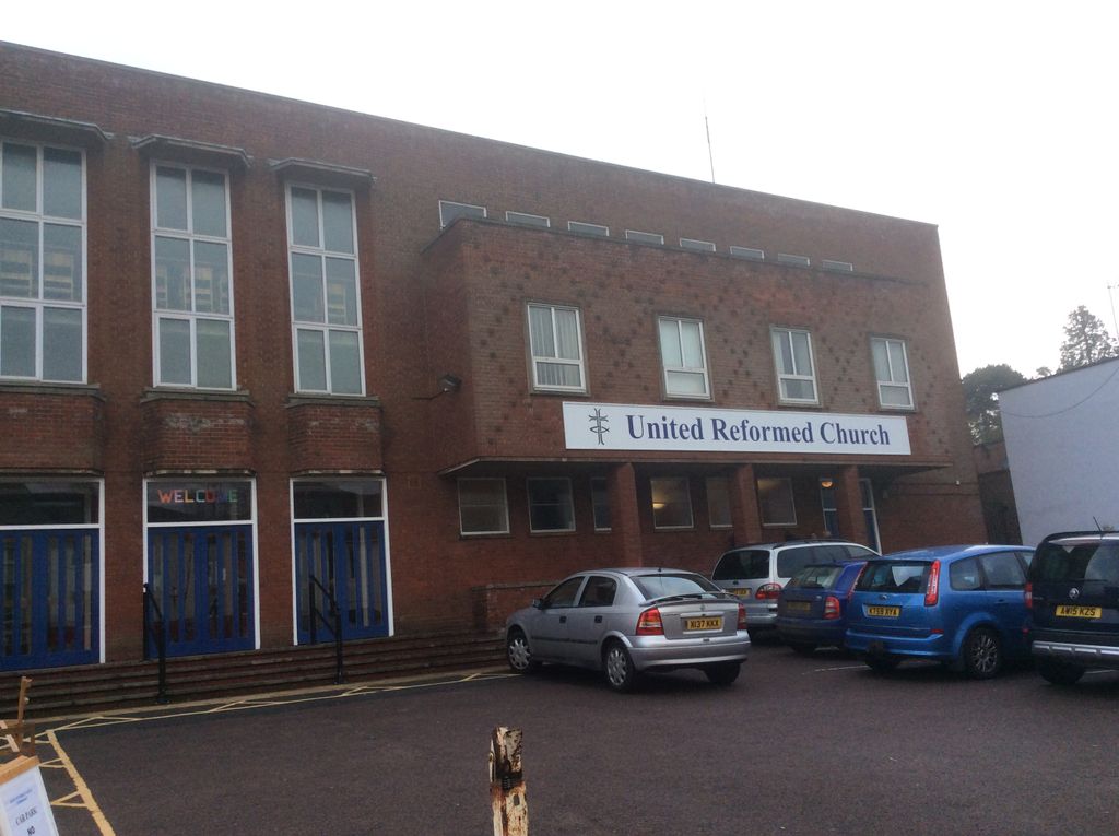
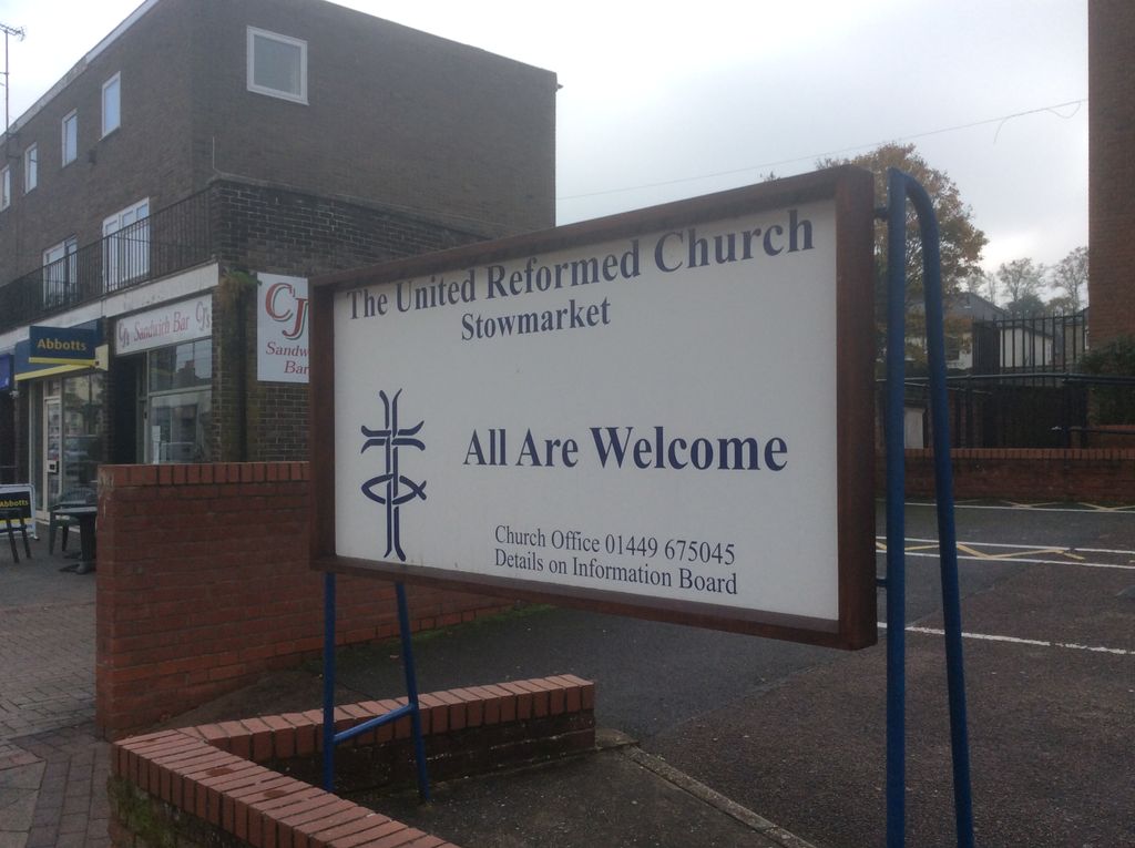
| Description | : | There has been a church on this site since 1719, when an Independent Meeting House was completed by Robert Pett. According to the church web site it then went through a troubled period before the ordination of William Ward in 1805, when he began a 41 year long pastorate. It was during this time that the church was altered out of all recognition and grew to become one of the strongest in Suffolk. In 1855 the church affiliated to the Congregational Union of England and Wales and in 1861 it was demolished for a new Chapel built during the ministry... Read More |
frequently asked questions (FAQ):
-
Where is United Reformed Church?
United Reformed Church is located at Stowmarket, Mid Suffolk District ,Suffolk ,England.
-
United Reformed Church cemetery's updated grave count on graveviews.com?
0 memorials
-
Where are the coordinates of the United Reformed Church?
Latitude: 52.1869020
Longitude: 0.9966670
Nearby Cemetories:
1. Saint Peter and Saint Mary Churchyard
Stowmarket, Mid Suffolk District, England
Coordinate: 52.1881820, 0.9967600
2. Old Stowmarket Cemetery
Stowmarket, Mid Suffolk District, England
Coordinate: 52.1948000, 0.9923500
3. New Stowmarket Cemetery
Stowmarket, Mid Suffolk District, England
Coordinate: 52.1948100, 0.9890740
4. St Mary Churchyard
Combs, Mid Suffolk District, England
Coordinate: 52.1729800, 0.9979300
5. Combs Parish Cemetery
Combs, Mid Suffolk District, England
Coordinate: 52.1714740, 0.9960700
6. Stowupland Cemetery
Stowupland, Mid Suffolk District, England
Coordinate: 52.1987389, 1.0293667
7. Holy Trinity Churchyard
Stowupland, Mid Suffolk District, England
Coordinate: 52.1999210, 1.0306050
8. St. Mary's Churchyard
Badley, Mid Suffolk District, England
Coordinate: 52.1629868, 1.0140250
9. St Peter's Churchyard
Creeting St Peter, Mid Suffolk District, England
Coordinate: 52.1782700, 1.0418800
10. St John the Baptist Churchyard
Onehouse, Mid Suffolk District, England
Coordinate: 52.1956290, 0.9495420
11. St. Augustine's Church Burial Ground
Harleston, Mid Suffolk District, England
Coordinate: 52.2045920, 0.9526440
12. St. Andrew's Churchyard
Great Finborough, Mid Suffolk District, England
Coordinate: 52.1829290, 0.9439440
13. Old Newton Cemetery
Old Newton, Mid Suffolk District, England
Coordinate: 52.2213520, 1.0127410
14. St. Mary's Churchyard
Old Newton, Mid Suffolk District, England
Coordinate: 52.2216380, 1.0143500
15. St. Mary's Churchyard
Battisford, Mid Suffolk District, England
Coordinate: 52.1493660, 1.0021970
16. Battisford Cemetery
Battisford, Mid Suffolk District, England
Coordinate: 52.1491260, 1.0013920
17. St. Mary the Virgin's Church
Haughley, Mid Suffolk District, England
Coordinate: 52.2215800, 0.9647260
18. St. Mary's Churchyard
Little Finborough, Mid Suffolk District, England
Coordinate: 52.1561070, 0.9495790
19. Saint Mary's Churchyard
Buxhall, Mid Suffolk District, England
Coordinate: 52.1803740, 0.9283610
20. Saint Mary's Churchyard
Creeting St Mary, Mid Suffolk District, England
Coordinate: 52.1686000, 1.0591500
21. King Charles the Martyr Churchyard
Shelland, Mid Suffolk District, England
Coordinate: 52.2039070, 0.9307170
22. Saint John The Baptist Burial Ground
Needham Market, Mid Suffolk District, England
Coordinate: 52.1533800, 1.0438900
23. St Mary Churchyard
Barking, Mid Suffolk District, England
Coordinate: 52.1416550, 1.0333390
24. St. Catherine's Churchyard
Ringshall, Mid Suffolk District, England
Coordinate: 52.1365910, 0.9840370


