
| Memorials | : | 0 |
| Location | : | Utrecht, Utrecht Municipality, Netherlands |
| Coordinate | : | 52.0776100, 5.1295100 |
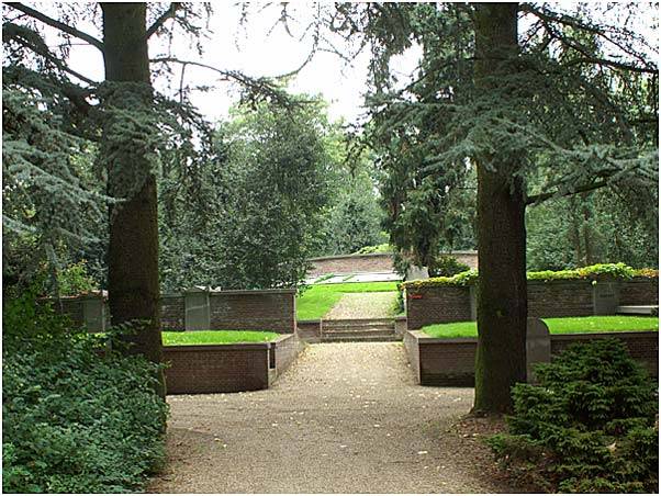
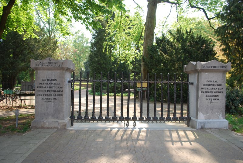
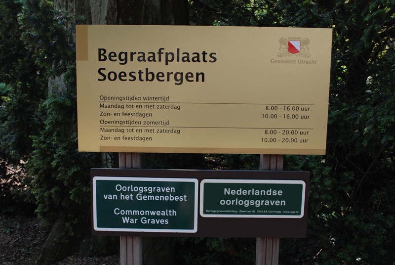
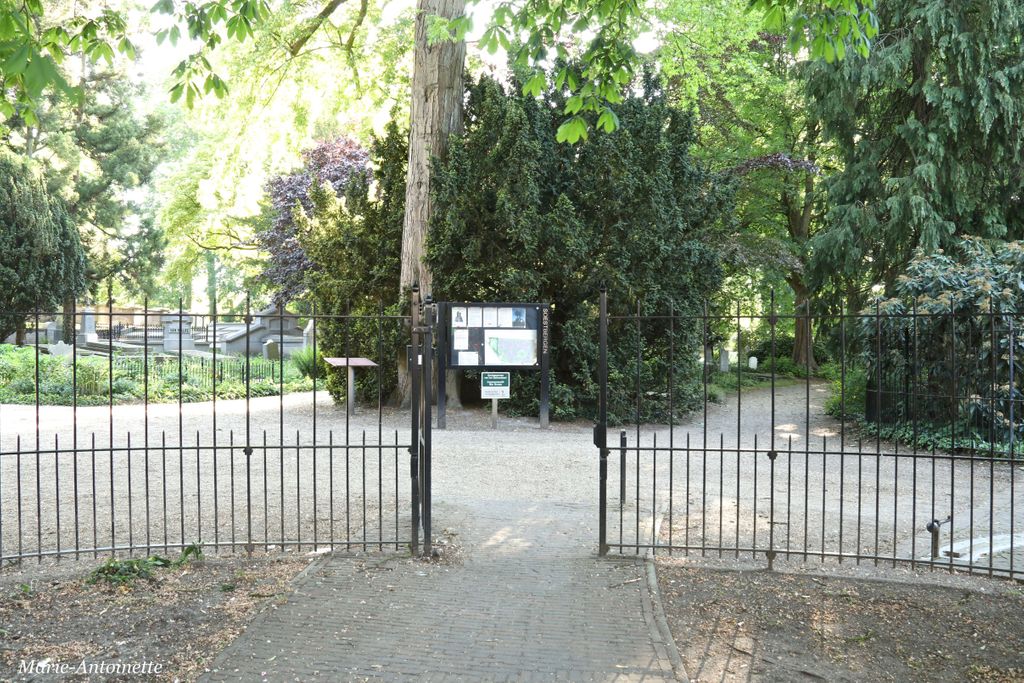
| Description | : | Utrecht is the capital city of the province of Utrecht and is situated approx 43 km south of Amsterdam. The cemetery is located in the Gansstraat and is easy accessible from the city centre. |
frequently asked questions (FAQ):
-
Where is Utrecht Soestbergen Algemene Begraafplaats?
Utrecht Soestbergen Algemene Begraafplaats is located at Gansstraat Utrecht, Utrecht Municipality ,Utrecht ,Netherlands.
-
Utrecht Soestbergen Algemene Begraafplaats cemetery's updated grave count on graveviews.com?
0 memorials
-
Where are the coordinates of the Utrecht Soestbergen Algemene Begraafplaats?
Latitude: 52.0776100
Longitude: 5.1295100
Nearby Cemetories:
1. Utrecht Kovelswade Algemene Begraafplaats
Utrecht, Utrecht Municipality, Netherlands
Coordinate: 52.0759735, 5.1351638
2. Utrecht Tolsteeg Cemetery
Utrecht, Utrecht Municipality, Netherlands
Coordinate: 52.0724100, 5.1318400
3. Mariakerk
Utrecht, Utrecht Municipality, Netherlands
Coordinate: 52.0891440, 5.1166030
4. Utrecht Dom Church
Utrecht, Utrecht Municipality, Netherlands
Coordinate: 52.0908090, 5.1217480
5. Utrecht Buurkerk
Utrecht, Utrecht Municipality, Netherlands
Coordinate: 52.0904890, 5.1192320
6. Utrecht Sint-Barbara Roman Catholic Cemetery
Utrecht, Utrecht Municipality, Netherlands
Coordinate: 52.0539430, 5.0832590
7. Noorderveld
Nieuwegein, Nieuwegein Municipality, Netherlands
Coordinate: 52.0421660, 5.1026720
8. Oude Kerkhof Dorpskerk
De Bilt, De Bilt Municipality, Netherlands
Coordinate: 52.1044724, 5.1818385
9. Groenekan Nederlands Hevormde Begraafplaats
Groenekan, De Bilt Municipality, Netherlands
Coordinate: 52.1192100, 5.1654300
10. Sint-Barbarakerk Begraafplaats
Bunnik, Bunnik Municipality, Netherlands
Coordinate: 52.0662689, 5.2050647
11. Kerkveld Algemene Begraafplaats
Nieuwegein, Nieuwegein Municipality, Netherlands
Coordinate: 52.0371800, 5.0857400
12. Bilthoven Begraafplaats Brandenburg
Bilthoven, De Bilt Municipality, Netherlands
Coordinate: 52.1174800, 5.1856800
13. Utrecht Daelwijck Cemetery
Utrecht, Utrecht Municipality, Netherlands
Coordinate: 52.1285300, 5.0942700
14. Oud-Zuilen Cemetery
Oud-Zuilen, Stichtse Vecht Municipality, Netherlands
Coordinate: 52.1326100, 5.0685200
15. Oude Algemene Begraafplaats
Zeist, Zeist Municipality, Netherlands
Coordinate: 52.0910100, 5.2400300
16. Hoge Akker Begraafplaats
IJsselstein, IJsselstein Municipality, Netherlands
Coordinate: 52.0357500, 5.0380900
17. Katholieke begraafplaats
Vleuten, Utrecht Municipality, Netherlands
Coordinate: 52.1007835, 5.0162086
18. Vreeswijk Protestant Cemetery
Vreeswijk, Nieuwegein Municipality, Netherlands
Coordinate: 52.0048700, 5.0974600
19. Tull En 't Waal Protestant Cemetery
Tull en 't Waal, Houten Municipality, Netherlands
Coordinate: 52.0017900, 5.1330300
20. Bilthoven Den en Rust Cemetery
Bilthoven, De Bilt Municipality, Netherlands
Coordinate: 52.1407776, 5.2003312
21. Sint Nicolaas Kerk
IJsselstein, IJsselstein Municipality, Netherlands
Coordinate: 52.0206960, 5.0449240
22. Oud Protestant begraafplaats
Vleuten, Utrecht Municipality, Netherlands
Coordinate: 52.1065676, 5.0124286
23. Schalkwijk Roman Catholic Cemetery
Schalkwijk, Houten Municipality, Netherlands
Coordinate: 51.9949500, 5.1845200
24. Maarssen General Cemetery
Maarssen, Stichtse Vecht Municipality, Netherlands
Coordinate: 52.1451469, 5.0306710