
| Memorials | : | 28 |
| Location | : | Whitechapel, London Borough of Tower Hamlets, England |
| Coordinate | : | 51.5200860, -0.0629160 |
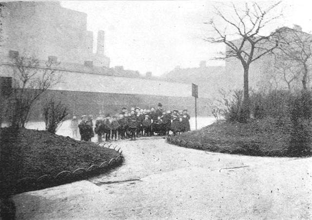
| Description | : | Vallance Road Recreation Ground includes the former Society of Friends Burial Ground. The site was formerly a Quaker Burial Ground established in 1687, the last burial taking place in 1857. The recreation ground was laid out as a public garden and opened in 1880. Baker's Row was renamed Vallance Road In 1896 in honour of Mr W. Vallance, the Clerk to the Metropolitan Board of Guardians. The park then became Vallance Road Recreation Ground. The garden had a granite drinking fountain, grass, serpentine paths, mature plane trees, some rose beds and a children's playground, but by the late C20th was... Read More |
frequently asked questions (FAQ):
-
Where is Vallance Road Recreation Ground?
Vallance Road Recreation Ground is located at Whitechapel, London Borough of Tower Hamlets ,Greater London ,England.
-
Vallance Road Recreation Ground cemetery's updated grave count on graveviews.com?
28 memorials
-
Where are the coordinates of the Vallance Road Recreation Ground?
Latitude: 51.5200860
Longitude: -0.0629160
Nearby Cemetories:
1. Brady Street Cemetery
Whitechapel, London Borough of Tower Hamlets, England
Coordinate: 51.5218390, -0.0604950
2. Wycliffe Congregational Church
Tower Hamlets, London Borough of Tower Hamlets, England
Coordinate: 51.5164124, -0.0582821
3. St. Mary Matfelon Church
Whitechapel, London Borough of Tower Hamlets, England
Coordinate: 51.5162030, -0.0684970
4. St. Matthew's Churchyard
Bethnal Green, London Borough of Tower Hamlets, England
Coordinate: 51.5251190, -0.0672250
5. St. George-in-the-East Churchyard
Stepney, London Borough of Tower Hamlets, England
Coordinate: 51.5099610, -0.0599100
6. St Botolph without Aldgate Churchyard
Aldgate, City of London, England
Coordinate: 51.5140120, -0.0763420
7. Holywell Priory
Shoreditch, London Borough of Hackney, England
Coordinate: 51.5238050, -0.0785300
8. Abbey of the Minoresses of St. Clare without Aldgate Churchyard
Aldgate, City of London, England
Coordinate: 51.5125370, -0.0749860
9. Holy Trinity Minories Churchyard
Aldgate, City of London, England
Coordinate: 51.5115140, -0.0745780
10. St. Leonard Churchyard
Shoreditch, London Borough of Hackney, England
Coordinate: 51.5268230, -0.0773640
11. Priory of Holy Trinity
Aldgate, City of London, England
Coordinate: 51.5138190, -0.0780890
12. Liverpool Street Station
London, City of London, England
Coordinate: 51.5187870, -0.0814920
13. Alderney Road Jewish Cemetery
Bethnal Green, London Borough of Tower Hamlets, England
Coordinate: 51.5232120, -0.0448120
14. Priory of St. Mary of Bethlehem Cemetery
Bishopsgate, City of London, England
Coordinate: 51.5183640, -0.0818180
15. St. Botholph without Bishopsgate
Finsbury, London Borough of Islington, England
Coordinate: 51.5166840, -0.0815590
16. St Katherine Cree Churchyard
London, City of London, England
Coordinate: 51.5134315, -0.0791360
17. St Botolph Church
Bishopsgate, City of London, England
Coordinate: 51.5167080, -0.0816560
18. Abbey of St Mary Graces
London Borough of Tower Hamlets, England
Coordinate: 51.5094000, -0.0723000
19. Old Velho Cemetery Sephardi Velho
Mile End, London Borough of Tower Hamlets, England
Coordinate: 51.5229030, -0.0437630
20. St. James Duke's Place Churchyard
Aldgate, City of London, England
Coordinate: 51.5128970, -0.0790280
21. St. Paul's with St. James Churchyard
Shadwell, London Borough of Tower Hamlets, England
Coordinate: 51.5093840, -0.0520990
22. St. Ethelburga the Virgin Churchyard
Bishopsgate, City of London, England
Coordinate: 51.5155450, -0.0820020
23. St Helen’s Bishopsgate
Bishopsgate, City of London, England
Coordinate: 51.5148000, -0.0818000
24. Church of the Crutched Friars
London, City of London, England
Coordinate: 51.5108000, -0.0785000