
| Memorials | : | 0 |
| Location | : | Vallecito, San Diego County, USA |
| Website | : | www.sdcounty.ca.gov/parks/camping/vallecito.html |
| Coordinate | : | 32.9753990, -116.3485031 |
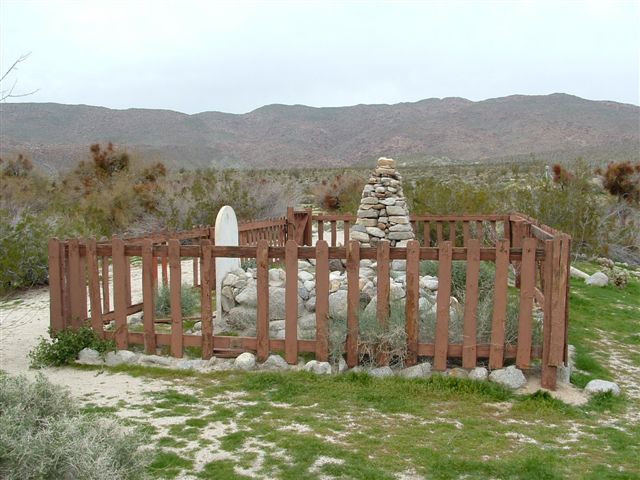
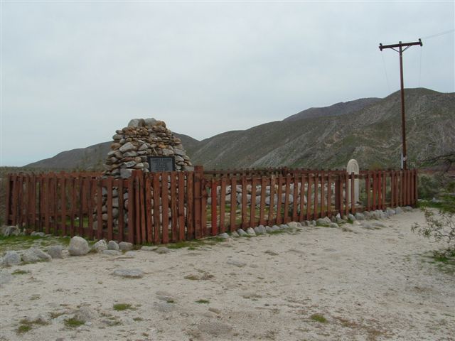
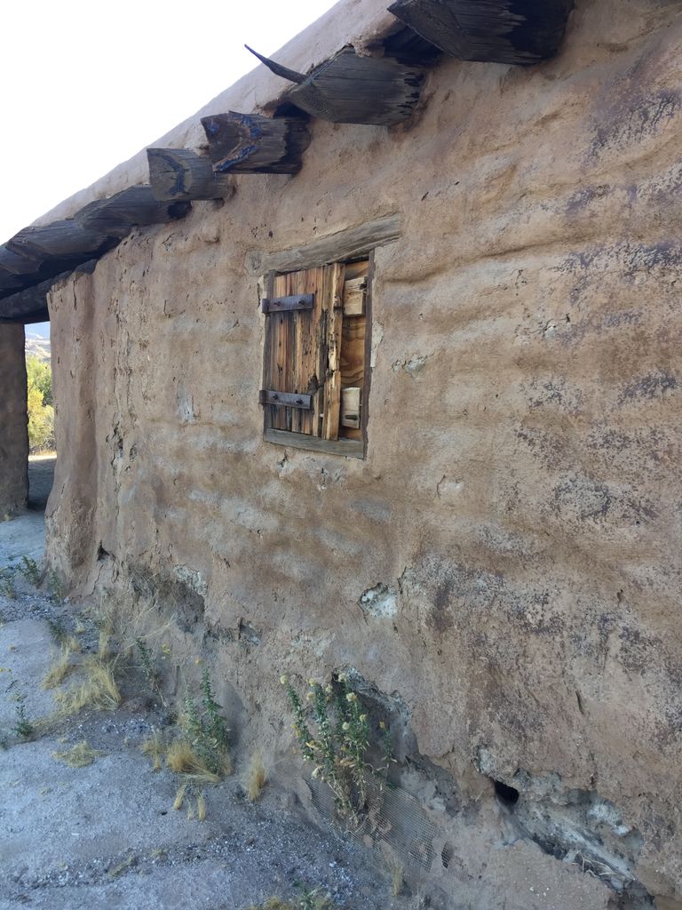
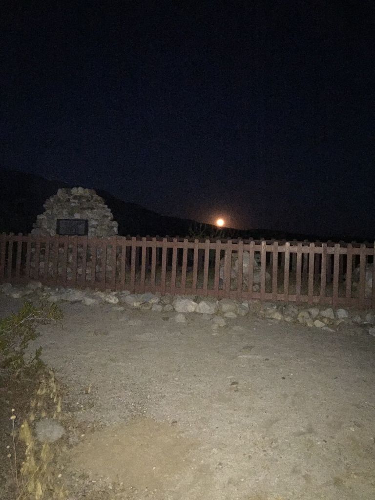
| Description | : | 37349 County Route S-2 (Imperial Highway), 17.8 miles south of Scissors Crossing (Highway 78), 30.2 miles north of Ocotillo. Located within Vallecito Regional Park just outside the border of the Anza-Borrego Desert State Park. Vallecito Regional Park is operated by the County of San Diego and is open for camping and day use from Labor Day through Memorial Day only. The three-grave cemetery is located on a hilltop just south of the reconstructed Vallecito Stage Station near campsite #8. |
frequently asked questions (FAQ):
-
Where is Vallecito Stage Station Cemetery?
Vallecito Stage Station Cemetery is located at San Diego County Vallecito, San Diego County ,California ,USA.
-
Vallecito Stage Station Cemetery cemetery's updated grave count on graveviews.com?
0 memorials
-
Where are the coordinates of the Vallecito Stage Station Cemetery?
Latitude: 32.9753990
Longitude: -116.3485031
Nearby Cemetories:
1. Campbell-Chilwell-Mount Laguna Cemetery
Mount Laguna, San Diego County, USA
Coordinate: 32.8670710, -116.4538330
2. Manzanita Cemetery
Campo, San Diego County, USA
Coordinate: 32.7603510, -116.3247440
3. Amos Buckman Gravesite
San Diego County, USA
Coordinate: 32.7695090, -116.4901530
4. Julian Cemetery
Julian, San Diego County, USA
Coordinate: 33.0797005, -116.6042023
5. Inaja Indian Reservation Cemetery
Pine Hills, San Diego County, USA
Coordinate: 33.0058770, -116.6356130
6. Ellis Ranch Cemetery
Descanso, San Diego County, USA
Coordinate: 32.8316040, -116.6209620
7. Wilson Family Cemetery
San Diego County, USA
Coordinate: 33.1708660, -116.5783630
8. Saint Barnabas Episcopal Memorial Garden
Borrego Springs, San Diego County, USA
Coordinate: 33.2505900, -116.3767200
9. Saint Richards Catholic Cemetery
Borrego Springs, San Diego County, USA
Coordinate: 33.2517500, -116.3799000
10. S R Gillette Burial Site
Alpine, San Diego County, USA
Coordinate: 32.8144370, -116.6219870
11. Inaja Memorial Park
Santa Ysabel, San Diego County, USA
Coordinate: 33.0983009, -116.6641006
12. Viejas Indian Reservation Cemetery
Alpine, San Diego County, USA
Coordinate: 32.8622400, -116.6981200
13. Mission Santa Ysabel Cemetery
Santa Ysabel, San Diego County, USA
Coordinate: 33.1305008, -116.6779022
14. Saint Carmel Cemetery
Live Oak Springs, San Diego County, USA
Coordinate: 32.6502991, -116.3638992
15. San Ysidro Cemetery
San Ysidro (Hot Springs Mountain), San Diego County, USA
Coordinate: 33.2555090, -116.5612860
16. Golden Eagle Farm Burial Site
Ramona, San Diego County, USA
Coordinate: 33.0694720, -116.7324610
17. Ortega Cemetery
Campo, San Diego County, USA
Coordinate: 32.6292800, -116.4566300
18. Milquatay Cemetery
Campo, San Diego County, USA
Coordinate: 32.6291490, -116.4566830
19. San Ignacio Cemetery
San Ignacio, San Diego County, USA
Coordinate: 33.3061900, -116.5197900
20. Casner Family Cemetery
Ramona, San Diego County, USA
Coordinate: 33.0679700, -116.7675900
21. Alpine Cemetery
Alpine, San Diego County, USA
Coordinate: 32.8429985, -116.7664032
22. Bloomdale Cemetery
Santa Ysabel, San Diego County, USA
Coordinate: 33.1720300, -116.7429200
23. Saint Francis of Assisi Chapel Cemetery
Warner Springs, San Diego County, USA
Coordinate: 33.2875839, -116.6368533
24. Alpine Mount Pisgah Pioneer Cemetery
Alpine, San Diego County, USA
Coordinate: 32.8123930, -116.7981940