
| Memorials | : | 0 |
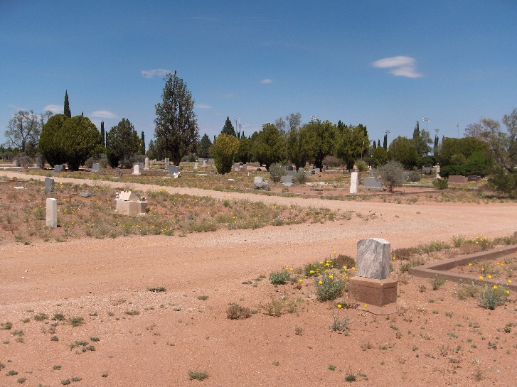
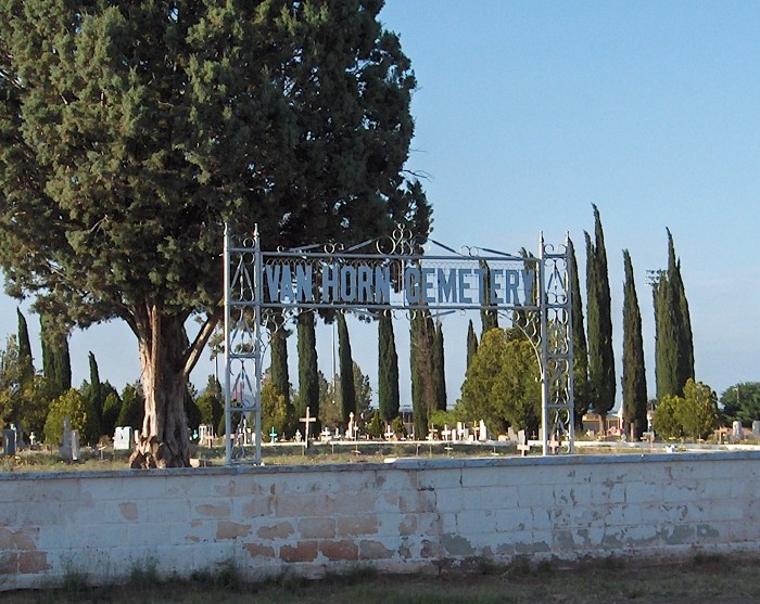
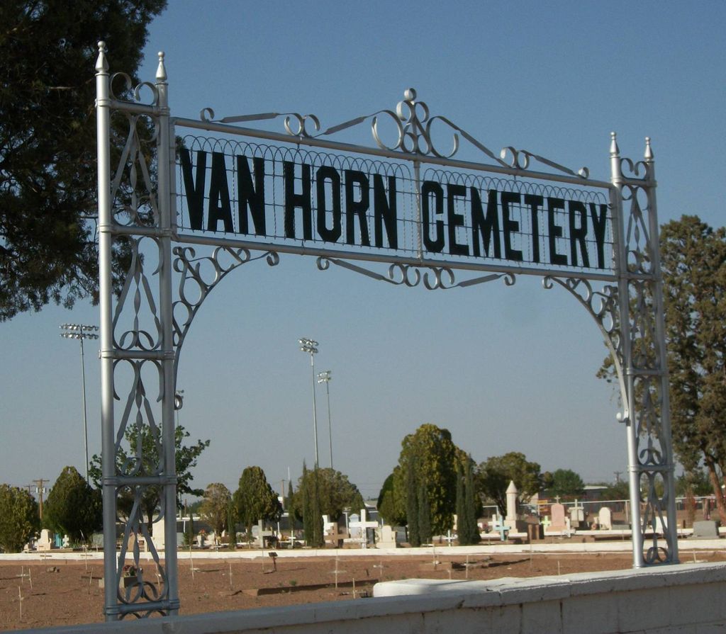
| Location | : | Van Horn, Culberson County, USA |
| Coordinate | : | 31.0461100, -104.8397000 |
frequently asked questions (FAQ):
-
Where is Van Horn Cemetery?
Van Horn Cemetery is located at Van Horn, Culberson County ,Texas ,USA.
-
Van Horn Cemetery cemetery's updated grave count on graveviews.com?
0 memorials
-
Where are the coordinates of the Van Horn Cemetery?
Latitude: 31.0461100
Longitude: -104.8397000
Nearby Cemetories:
1. Van Horn Wells Cemetery
Van Horn, Culberson County, USA
Coordinate: 30.8843780, -104.7974260
2. Feely Cemetery
Culberson County, USA
Coordinate: 31.0596900, -104.5235200
3. Boracho Cemetery
Culberson County, USA
Coordinate: 31.0809510, -104.3856660
4. Kent Cemetery
Kent, Culberson County, USA
Coordinate: 31.0730100, -104.2198900
5. Cowden Family Ranch Cemetery
Kent, Culberson County, USA
Coordinate: 31.7127990, -104.5904250
6. Panteón de El Porvenir
Porvenir, Praxedis G. Guerrero Municipality, Mexico
Coordinate: 31.2371690, -105.8757500
7. Panteón Municipal de Colonia Esperanza
Colonia Esperanza, Praxedis G. Guerrero Municipality, Mexico
Coordinate: 31.2981830, -105.9613160
8. DeMoss Cemetery
Loving, Eddy County, USA
Coordinate: 32.0497030, -104.8410780
9. Cienega Cemetery
Otero County, USA
Coordinate: 32.0505981, -105.1033020
10. J O Watkins Gravesite
Eddy County, USA
Coordinate: 32.1013890, -104.7661100
11. Rattlesnake Springs Cemetery
Black River Village, Eddy County, USA
Coordinate: 32.1080560, -104.4597220
12. Miller Family Cemetery
Eddy County, USA
Coordinate: 32.1157639, -104.4556945
13. Cornudas Mountain Cemetery
Otero County, USA
Coordinate: 32.0495522, -105.4259697
14. Panteón Municipal de Guadalupe
Guadalupe, Guadalupe Municipality, Mexico
Coordinate: 31.3750810, -106.1077510
15. Nuestra Señora de Guadalupe
Guadalupe, Guadalupe Municipality, Mexico
Coordinate: 31.3901150, -106.1026180
16. Queen Cemetery
Queen, Eddy County, USA
Coordinate: 32.2000008, -104.7332993
17. X-Bar Ranch Cemetery
Eddy County, USA
Coordinate: 32.1916670, -104.6188890
18. Paisano Baptist Encampment
Alpine, Brewster County, USA
Coordinate: 30.2924230, -103.7973510
19. Our Lady of Guadalupe Cemetery
Fabens, El Paso County, USA
Coordinate: 31.4942493, -106.1430130
20. Panteón de Villa de Allende
Valle de Ignacio Allende, Allende Municipality, Mexico
Coordinate: 29.9322060, -105.3910500
21. Fabens Cemetery
Fabens, El Paso County, USA
Coordinate: 31.5142100, -106.1564700
22. Elm Grove Cemetery
Alpine, Brewster County, USA
Coordinate: 30.3585739, -103.6375122
23. Holy Angels Cemetery
Alpine, Brewster County, USA
Coordinate: 30.3600006, -103.6354980
24. La Isla Cemetery
Isla, El Paso County, USA
Coordinate: 31.4839460, -106.2037690