
| Memorials | : | 1 |
| Location | : | Perryville, Perry County, USA |
| Phone | : | (800) 264-6279 |
| Coordinate | : | 37.7269578, -89.8888922 |
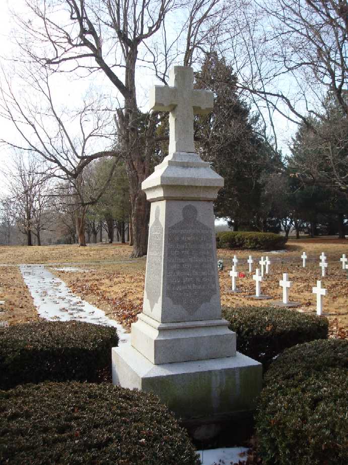
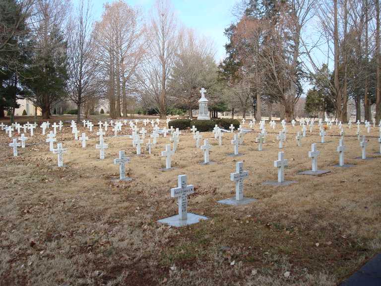
| Description | : | Shrine to Our Lady of the Miraculous Medal West St Joseph Street Land was donated for a Vincentian Seminary at the Barrens, a colony 80 miles south of St Louis, in Perry County, MO. In the church, there are numerous shrines, including one to the Miraculous Medal. There are a few interments in the church itself and on the surrounding grounds for the religious members of St Vincent dePaul's Order of the Congrégation de la Mission. |
frequently asked questions (FAQ):
-
Where is Vincentian Community Cemetery?
Vincentian Community Cemetery is located at Perryville, Perry County ,Missouri ,63775-159USA.
-
Vincentian Community Cemetery cemetery's updated grave count on graveviews.com?
1 memorials
-
Where are the coordinates of the Vincentian Community Cemetery?
Latitude: 37.7269578
Longitude: -89.8888922
Nearby Cemetories:
1. Saint Mary Seminary
Saline Junction, Perry County, USA
Coordinate: 37.7267500, -89.8872560
2. Saint Mary's of Barrens Cemetery
Perryville, Perry County, USA
Coordinate: 37.7247800, -89.8894400
3. Mount Hope Cemetery
Perryville, Perry County, USA
Coordinate: 37.7261009, -89.8936005
4. Mary Queen of Heaven Mausoleum
Perryville, Perry County, USA
Coordinate: 37.7248100, -89.8935200
5. Saint Boniface Cemetery
Perryville, Perry County, USA
Coordinate: 37.7233009, -89.8713989
6. Home Cemetery
Perryville, Perry County, USA
Coordinate: 37.7332993, -89.8677979
7. Immanuel Lutheran Cemetery
Perryville, Perry County, USA
Coordinate: 37.7282982, -89.8460999
8. Friedenberg Peace Lutheran Cemetery
Friedenberg, Perry County, USA
Coordinate: 37.7092018, -89.8292007
9. Christ the Savior Catholic Church Cemetery
Brewer, Perry County, USA
Coordinate: 37.7803000, -89.9274000
10. Saint Joseph Cemetery
Highland, Perry County, USA
Coordinate: 37.6598050, -89.8947720
11. Preston Cemetery
Perry County, USA
Coordinate: 37.8025017, -89.8330994
12. Horn Cemetery
Perry County, USA
Coordinate: 37.7285995, -89.7780991
13. York Chapel Cemetery
Longtown, Perry County, USA
Coordinate: 37.6785400, -89.7927900
14. York Chapel Cemetery
Perry County, USA
Coordinate: 37.6775600, -89.7933200
15. Saint Rose of Lima Cemetery
Silver Lake, Perry County, USA
Coordinate: 37.6843987, -89.9907990
16. Cedar Fork Community Cemetery
Perryville, Perry County, USA
Coordinate: 37.7411100, -90.0081800
17. Holy Cross Lutheran Cemetery
Perry County, USA
Coordinate: 37.7224998, -89.7660980
18. Zion Lutheran Cemetery
Longtown, Perry County, USA
Coordinate: 37.6716995, -89.7767029
19. Baptist Shed Cemetery
Perry County, USA
Coordinate: 37.7085991, -89.7574997
20. Saint John the Evangelist Catholic Church Cemetery
Lithium, Perry County, USA
Coordinate: 37.8327600, -89.8873360
21. Keith Cemetery
Tuckers Settlement, Perry County, USA
Coordinate: 37.7908280, -90.0065450
22. Luther's Chapel Cemetery
Biehle, Perry County, USA
Coordinate: 37.6330986, -89.8075027
23. Pleasant Grove Cemetery
Crosstown, Perry County, USA
Coordinate: 37.7132300, -89.7382400
24. Campground Cemetery
Frohna, Perry County, USA
Coordinate: 37.6055984, -89.9056015