| Memorials | : | 2 |
| Location | : | Lambsburg, Carroll County, USA |
| Coordinate | : | 36.5807290, -80.7794670 |
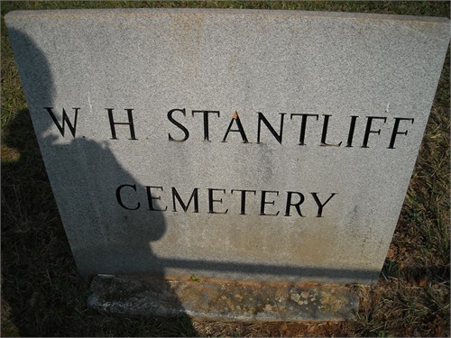
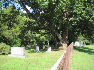
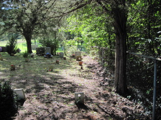
| Description | : | this cemetery was a little difficult to find because no one really knew where it was, but someone said there was one in this direction they just didn't know the name of it. It is located in Lambsburg at the end of Christy Ln. (please see map) |
frequently asked questions (FAQ):
-
Where is W H Stantliff Cemetery?
W H Stantliff Cemetery is located at Lambsburg, Carroll County ,Virginia ,USA.
-
W H Stantliff Cemetery cemetery's updated grave count on graveviews.com?
2 memorials
-
Where are the coordinates of the W H Stantliff Cemetery?
Latitude: 36.5807290
Longitude: -80.7794670
Nearby Cemetories:
1. Edwards-Upchurch Cemetery
Lambsburg, Carroll County, USA
Coordinate: 36.5750140, -80.7788060
2. Fellowship Tabernacle Cemetery
Lambsburg, Carroll County, USA
Coordinate: 36.5769680, -80.7723510
3. Chestnut Grove Primitive Baptist Church Cemetery
Lambsburg, Carroll County, USA
Coordinate: 36.5800740, -80.7686640
4. Holly Grove Baptist Church Cemetery
Lambsburg, Carroll County, USA
Coordinate: 36.5712840, -80.7810790
5. Stewart Cemetery
Lambsburg, Carroll County, USA
Coordinate: 36.5681860, -80.7855490
6. Hawks Family Cemetery
Lambsburg, Carroll County, USA
Coordinate: 36.5960780, -80.7620250
7. Phillip Haywood McBride Family Cemetery
Lowgap, Surry County, USA
Coordinate: 36.5602950, -80.7678630
8. Surratt Cemetery
Lambsburg, Carroll County, USA
Coordinate: 36.5790920, -80.7396730
9. Blue Ridge Baptist Church Cemetery
Crooked Oak, Surry County, USA
Coordinate: 36.5490440, -80.7727400
10. Blue Ridge Chapel Baptist Church Cemetery
Carroll County, USA
Coordinate: 36.6073517, -80.8056282
11. Dillard Family Cemetery
Lowgap, Surry County, USA
Coordinate: 36.5500298, -80.8002243
12. Cedar Lane-Easter Cemetery
Cana, Carroll County, USA
Coordinate: 36.5898610, -80.7356070
13. George Jeremiah Edwards Family Cemetery
Cana, Carroll County, USA
Coordinate: 36.5937600, -80.7370100
14. Easter Family Cemetery
Carroll County, USA
Coordinate: 36.5900270, -80.7354860
15. Low Family Cemetery
Lowgap, Surry County, USA
Coordinate: 36.5461430, -80.7985910
16. Flower Gap Primitive Baptist Church Cemetery
Cana, Carroll County, USA
Coordinate: 36.5900510, -80.7286500
17. Ivy Green Baptist Church Cemetery
Crooked Oak, Surry County, USA
Coordinate: 36.5381927, -80.7771683
18. Jarrell Family Graveyard
Lowgap, Surry County, USA
Coordinate: 36.5362520, -80.7798310
19. Holder Cemetery
Lowgap, Surry County, USA
Coordinate: 36.5364670, -80.7875720
20. McCraw Family Cemetery
Lambsburg, Carroll County, USA
Coordinate: 36.5814200, -80.7235270
21. Jarrell Family Cemetery
Lowgap, Surry County, USA
Coordinate: 36.5427860, -80.8103660
22. Vernon-Leonard Cemetery
Cana, Carroll County, USA
Coordinate: 36.5841200, -80.7217600
23. Marion Cemetery
Cana, Carroll County, USA
Coordinate: 36.6055090, -80.7284550
24. Montgomery Cemetery
Surry County, USA
Coordinate: 36.5439722, -80.8204722


