
| Memorials | : | 8 |
| Location | : | Waiau Pa, Auckland Council, New Zealand |
| Phone | : | 0800 423 638 |
| Website | : | www.aucklandcouncil.govt.nz/cemeteries/Pages/cemetery-location-details.aspx?LocationId=741 |
| Coordinate | : | -37.1327190, 174.7573970 |
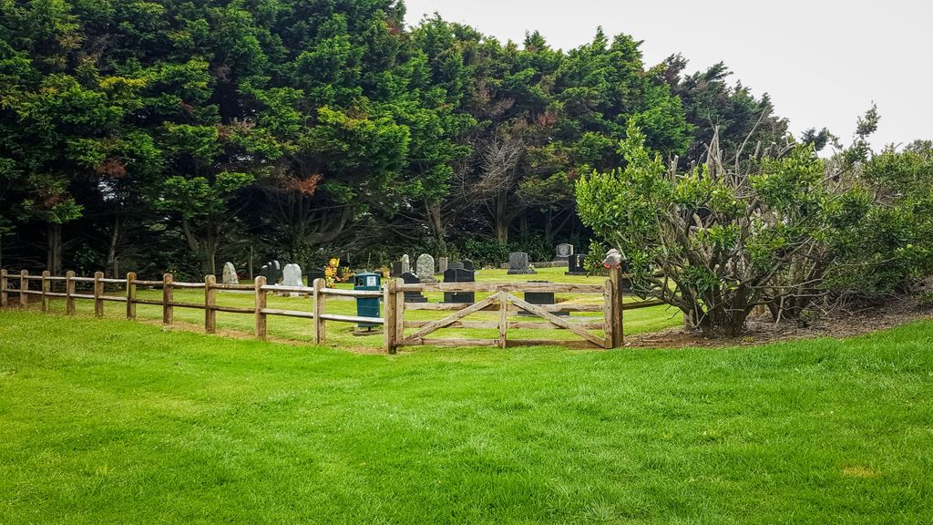
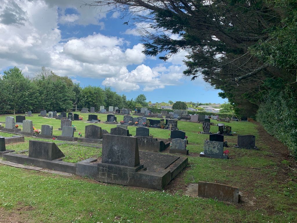
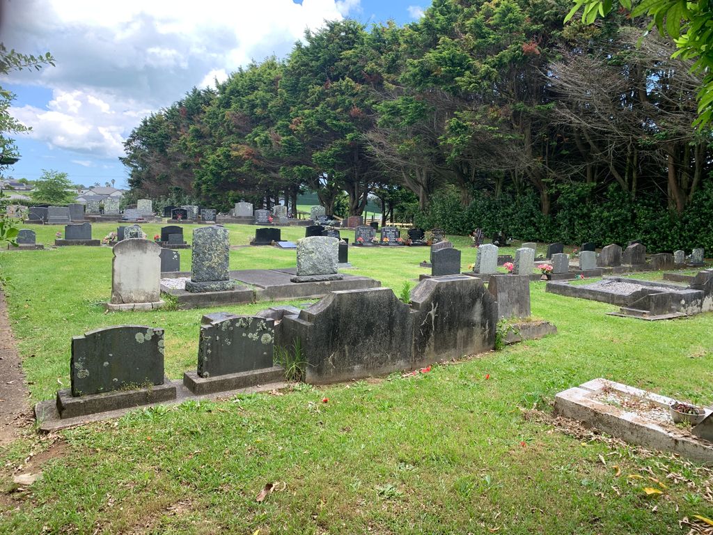
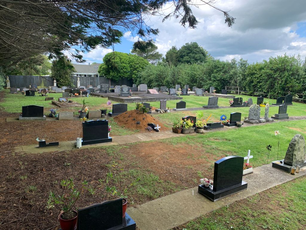
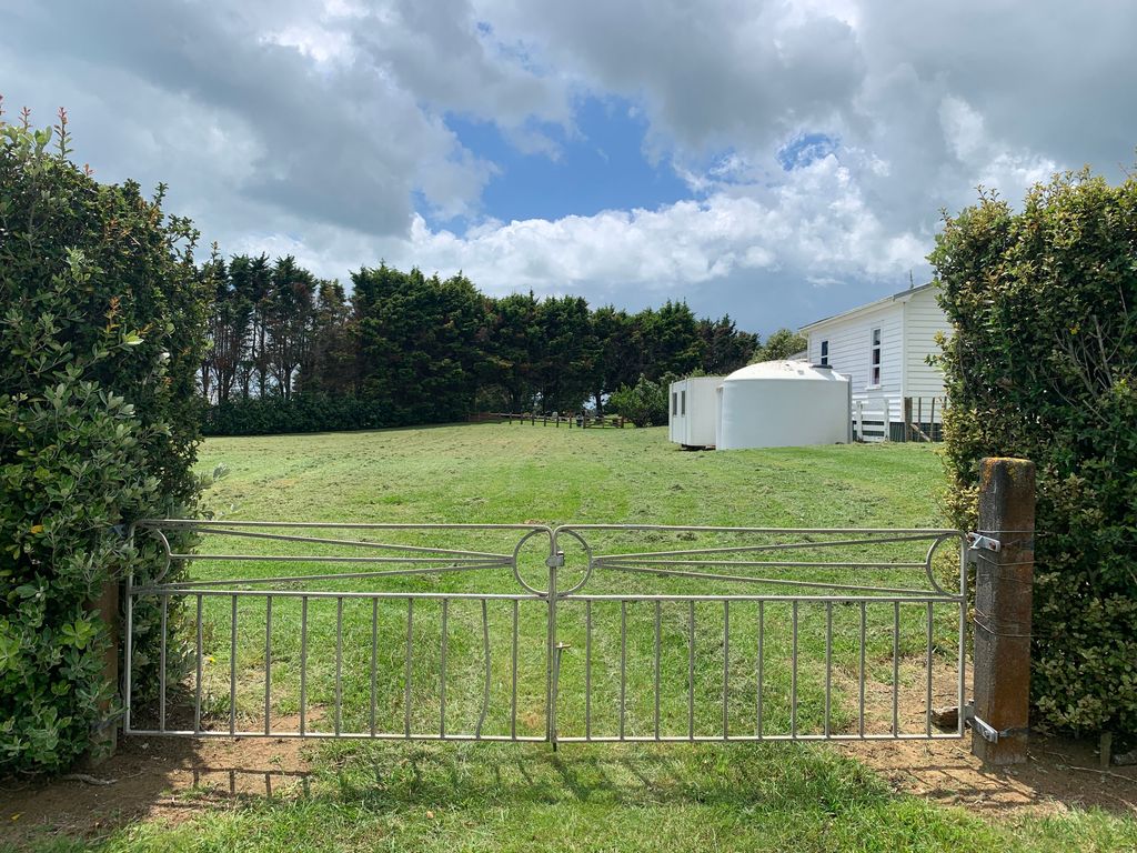
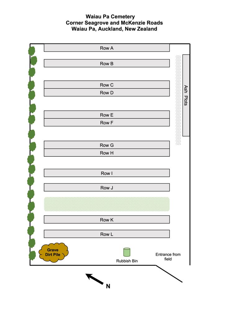
| Description | : | The cemetery is run by Auckland Council. It is located approximately 50km south of the Auckland CBD and 20km west from SH 1 Exit 458, on the corner of McKenzie and Seagrove Roads. There is ample parking off the road. The cemetery is behind the Waiau Pa Family Church. It sits at the back of a large grass field. It is approximately 100m from the grass field entrance gate and is fully fenced and well maintained. Added to traditional burial plots is an ash burial row along the southern boundary. The first burial was Joseph Clark d.... Read More |
frequently asked questions (FAQ):
-
Where is Waiau Pa Cemetery?
Waiau Pa Cemetery is located at Mckenzie and Seagrove Roads Waiau Pa, Auckland Council ,Auckland , 2679New Zealand.
-
Waiau Pa Cemetery cemetery's updated grave count on graveviews.com?
8 memorials
-
Where are the coordinates of the Waiau Pa Cemetery?
Latitude: -37.1327190
Longitude: 174.7573970
Nearby Cemetories:
1. Mauku Historical Cemetery
Mauku, Auckland Council, New Zealand
Coordinate: -37.1743690, 174.7951870
2. Mauku Cemetery
Mauku, Auckland Council, New Zealand
Coordinate: -37.2011420, 174.8109100
3. St Brides Church of England Cemetery
Mauku, Auckland Council, New Zealand
Coordinate: -37.2011260, 174.8120370
4. Kohekohe Cemetery
Pollok, Auckland Council, New Zealand
Coordinate: -37.1797380, 174.6508930
5. Waipipi Cemetery
Awhitu, Auckland Council, New Zealand
Coordinate: -37.2124964, 174.6845550
6. Tahuna Pa Road Urupā
Waiuku, Auckland Council, New Zealand
Coordinate: -37.2290900, 174.7080100
7. Pollok Cemetery
Pollok, Auckland Council, New Zealand
Coordinate: -37.1469760, 174.6257190
8. Heights Park Cemetery
Paerata, Auckland Council, New Zealand
Coordinate: -37.1781928, 174.8938836
9. Laurie-Gibbons Memorial Park
Weymouth, Auckland Council, New Zealand
Coordinate: -37.0440600, 174.8586790
10. Waiuku Cemetery
Waiuku, Auckland Council, New Zealand
Coordinate: -37.2612630, 174.7346520
11. Pukekohe Catholic Cemetery
Pukekohe, Auckland Council, New Zealand
Coordinate: -37.1951510, 174.9014640
12. Pukekohe Public Cemetery
Pukekohe, Auckland Council, New Zealand
Coordinate: -37.2106400, 174.8974900
13. Awhitu Central Cemetery
Awhitu Central, Auckland Council, New Zealand
Coordinate: -37.0956340, 174.5813100
14. Manukau Memorial Gardens
Manukau, Auckland Council, New Zealand
Coordinate: -36.9944380, 174.8397300
15. St John's Anglican Cemetery Drury
Drury, Auckland Council, New Zealand
Coordinate: -37.1033710, 174.9506070
16. Papatoetoe Cemetery
Papatoetoe, Auckland Council, New Zealand
Coordinate: -36.9893110, 174.8373530
17. Drury Presbyterian Cemetery
Drury, Auckland Council, New Zealand
Coordinate: -37.0991270, 174.9497870
18. Papakura South Cemetery
Papakura, Auckland Council, New Zealand
Coordinate: -37.0877300, 174.9464700
19. Drury-Runciman War Memorial
Drury, Auckland Council, New Zealand
Coordinate: -37.1025480, 174.9528240
20. Mangere Presbyterian Cemetery
Mangere, Auckland Council, New Zealand
Coordinate: -36.9750197, 174.7924783
21. Pukekohe East Cemetery
Pukekohe East, Auckland Council, New Zealand
Coordinate: -37.1883500, 174.9459000
22. Papakura Cemetery
Papakura, Auckland Council, New Zealand
Coordinate: -37.0698600, 174.9448300
23. St. David's Anglican Churchyard
Wiri, Auckland Council, New Zealand
Coordinate: -37.0025400, 174.8886150
24. Mangere Lawn Cemetery
Mangere, Auckland Council, New Zealand
Coordinate: -36.9626150, 174.7857000