
| Memorials | : | 3235 |
| Location | : | Warm Springs, Deer Lodge County, USA |
| Coordinate | : | 46.1916580, -112.8032913 |
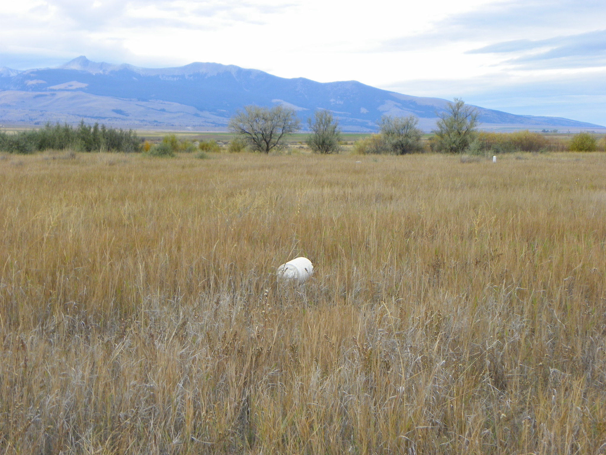
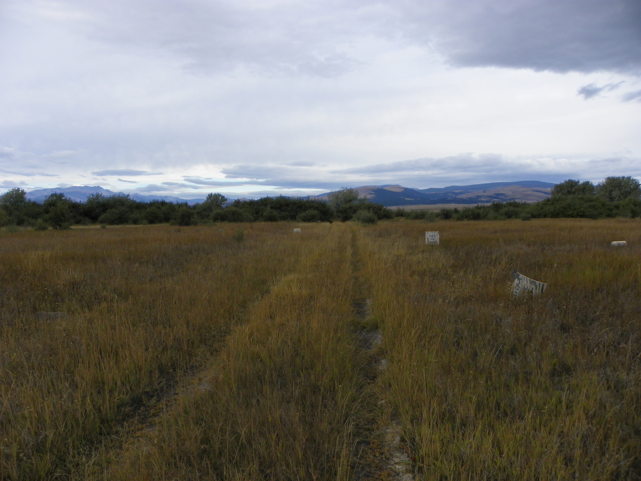
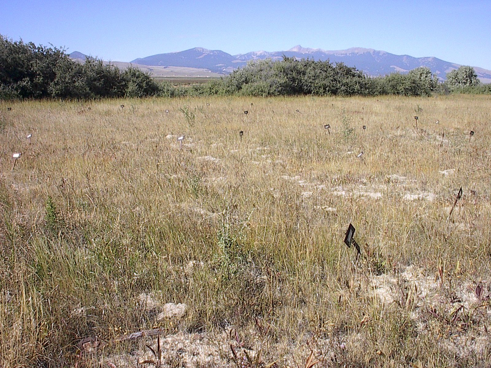
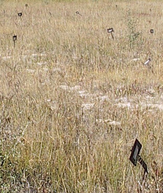
| Description | : | The authorities of the hospital will not allow any one to go into the cemetery and take photos of the graves for privacy issues. Very few markers or headstones exists in the cemetery. The only way it may be possible to visit and photograph any graves is if they are a relative of the deceased requests it and have an appointment at the hospital. An administrator will take them into the cemetery. |
frequently asked questions (FAQ):
-
Where is Warm Springs State Hospital Cemetery?
Warm Springs State Hospital Cemetery is located at Warm Springs, Deer Lodge County ,Montana ,USA.
-
Warm Springs State Hospital Cemetery cemetery's updated grave count on graveviews.com?
3235 memorials
-
Where are the coordinates of the Warm Springs State Hospital Cemetery?
Latitude: 46.1916580
Longitude: -112.8032913
Nearby Cemetories:
1. Anaconda Catholic Cemetery
Anaconda, Deer Lodge County, USA
Coordinate: 46.1165858, -112.8653042
2. Staffanson Family Cemetery
Anaconda, Deer Lodge County, USA
Coordinate: 46.1780556, -112.9610000
3. Lower Hill Cemetery
Anaconda, Deer Lodge County, USA
Coordinate: 46.1213440, -112.9572510
4. Upper Hill Cemetery
Anaconda, Deer Lodge County, USA
Coordinate: 46.1224440, -112.9588340
5. Mount Carmel Cemetery
Anaconda, Deer Lodge County, USA
Coordinate: 46.1237068, -112.9619827
6. Norton Cemetery
Anaconda, Deer Lodge County, USA
Coordinate: 46.0619000, -112.8333000
7. Mount Olivet Cemetery
Anaconda, Deer Lodge County, USA
Coordinate: 46.1300011, -112.9739990
8. Sunset Memorial Park
Gregson, Silver Bow County, USA
Coordinate: 46.0596000, -112.7754500
9. New Hill Cemetery
Anaconda, Deer Lodge County, USA
Coordinate: 46.1380770, -112.9917530
10. Montana State Prison Cemetery
Deer Lodge, Powell County, USA
Coordinate: 46.3959999, -112.7590027
11. Hillcrest Cemetery
Deer Lodge, Powell County, USA
Coordinate: 46.3958015, -112.7556000
12. Mount Moriah Cemetery
Butte, Silver Bow County, USA
Coordinate: 45.9885500, -112.5423400
13. BNai Israel Cemetery
Butte, Silver Bow County, USA
Coordinate: 45.9865700, -112.5409000
14. Saint Patrick's Cemetery
Butte, Silver Bow County, USA
Coordinate: 45.9844017, -112.5406036
15. Saint Johns Columbarium
Butte, Silver Bow County, USA
Coordinate: 45.9923000, -112.5178000
16. Potters Field
Butte, Silver Bow County, USA
Coordinate: 45.9894470, -112.4773280
17. Mountain View Cemetery
Butte, Silver Bow County, USA
Coordinate: 45.9622720, -112.5077200
18. Holy Cross Cemetery
Butte, Silver Bow County, USA
Coordinate: 45.9510994, -112.5036011
19. Philipsburg Cemetery
Philipsburg, Granite County, USA
Coordinate: 46.3408990, -113.2961010
20. Rainville Memorial Cemetery
Basin, Jefferson County, USA
Coordinate: 46.2736630, -112.2514180
21. Dewey Cemetery
Beaverhead County, USA
Coordinate: 45.7700005, -112.8613968
22. Avon Cemetery
Avon, Powell County, USA
Coordinate: 46.6111580, -112.6049040
23. Highland Cemetery
Nine-mile, Silver Bow County, USA
Coordinate: 45.7992300, -112.4865100
24. Elliston Cemetery
Elliston, Powell County, USA
Coordinate: 46.5693090, -112.4406270