
| Memorials | : | 9593 |
| Location | : | Weaste, Metropolitan Borough of Salford, England |
| Coordinate | : | 53.4795227, -2.3017540 |
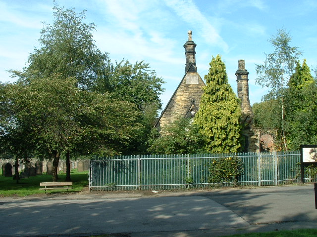
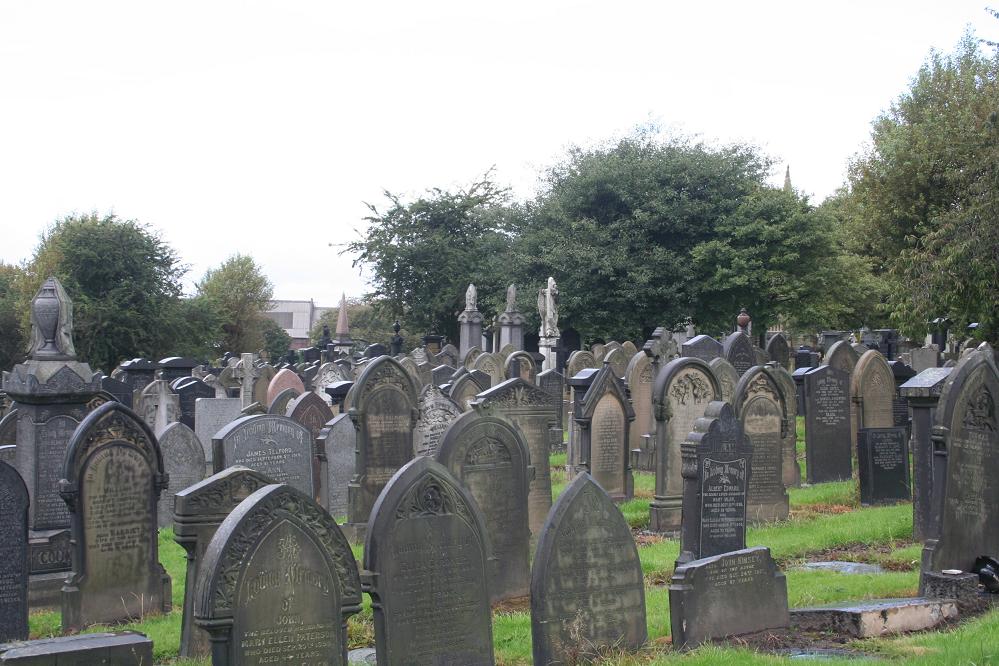
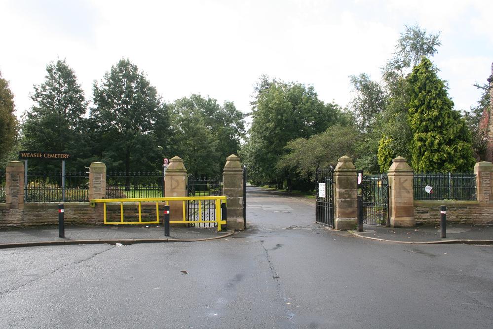
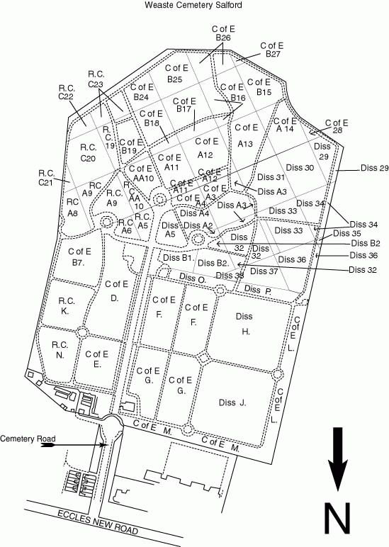
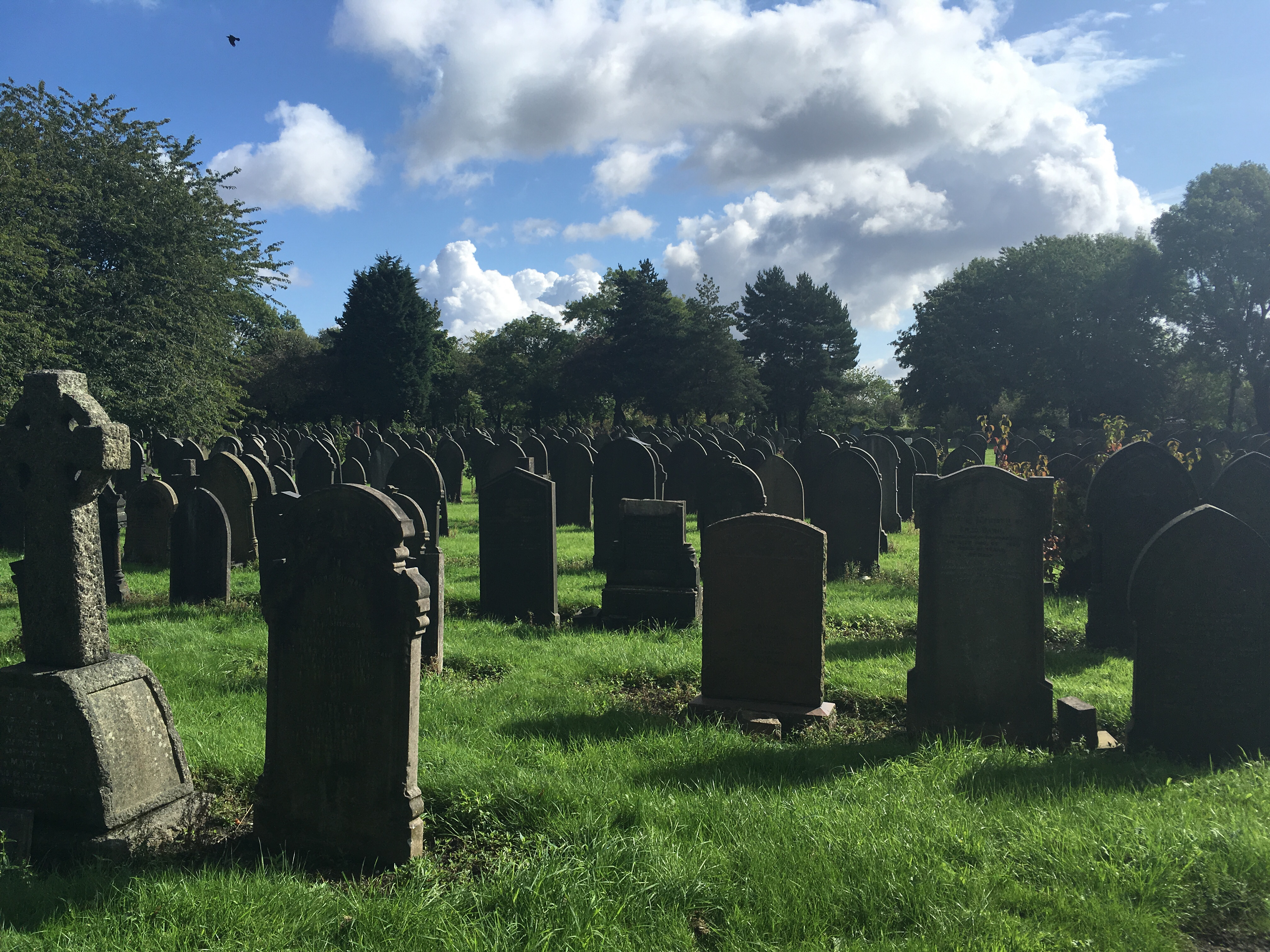
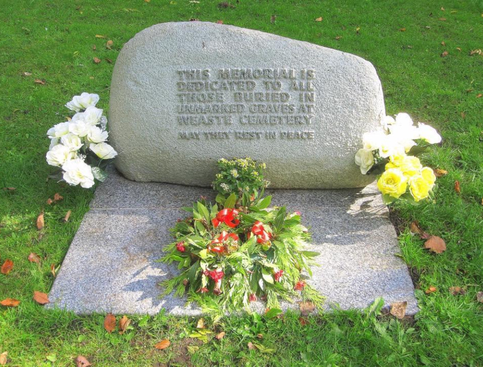
| Description | : | This cemetery, opened in 1857, lies near the Eccles road, and belongs to Salford Corporation. It covers just over 16 hectares and contains war graves of both World Wars. There are 267 burials of the 1914-1918 War, mostly scattered, but there are two small war plots; one is in the Church of England section and the other in the Roman Catholic section. There is a commemorative Screen Wall in each bearing the names of those buried there and there is also a Special Memorial naming 7 casualties whose graves lay unmarked in other parts in the cemetery. The 1939-1945 War... Read More |
frequently asked questions (FAQ):
-
Where is Weaste Cemetery?
Weaste Cemetery is located at Cemetery Road Weaste, Metropolitan Borough of Salford ,Greater Manchester , M5 5NREngland.
-
Weaste Cemetery cemetery's updated grave count on graveviews.com?
9593 memorials
-
Where are the coordinates of the Weaste Cemetery?
Latitude: 53.4795227
Longitude: -2.3017540
Nearby Cemetories:
1. St. Thomas' Churchyard
Salford, Metropolitan Borough of Salford, England
Coordinate: 53.4921430, -2.2856130
2. St Mary the Virgin Churchyard
Eccles, Metropolitan Borough of Salford, England
Coordinate: 53.4843810, -2.3346810
3. St John The Evangelist Churchyard
Pendlebury, Metropolitan Borough of Salford, England
Coordinate: 53.5036200, -2.3088500
4. Irwell Street Wesleyan Chapel Cemetery
Salford, Metropolitan Borough of Salford, England
Coordinate: 53.4829750, -2.2587540
5. St George Churchyard
Hulme, Metropolitan Borough of Manchester, England
Coordinate: 53.4721400, -2.2593000
6. New Jerusalem Temple Cemetery
Salford, Metropolitan Borough of Salford, England
Coordinate: 53.4827720, -2.2571250
7. St John's Churchyard
Manchester, Metropolitan Borough of Manchester, England
Coordinate: 53.4780043, -2.2526487
8. Agecroft Cemetery and Crematorium
Salford, Metropolitan Borough of Salford, England
Coordinate: 53.5100250, -2.2940500
9. Great Bridgewater St. Wesleyan Methodist Churchyard
Manchester, Metropolitan Borough of Manchester, England
Coordinate: 53.4757580, -2.2500770
10. Christ Church
Salford, Metropolitan Borough of Salford, England
Coordinate: 53.4864284, -2.2497653
11. Agecroft Jewish Cemetery
Pendlebury, Metropolitan Borough of Salford, England
Coordinate: 53.5110302, -2.2955830
12. St. Catherine's Churchyard
Barton-upon-Irwell, Metropolitan Borough of Salford, England
Coordinate: 53.4733160, -2.3542070
13. St. Mary's Churchyard (Defunct)
Manchester, Metropolitan Borough of Manchester, England
Coordinate: 53.4825726, -2.2483873
14. Barton Upon Irwell Roman Catholic Graveyard
Metropolitan Borough of Salford, England
Coordinate: 53.4753010, -2.3554530
15. Barton Wesleyan Methodist Chapelyard
Eccles, Metropolitan Borough of Salford, England
Coordinate: 53.4763680, -2.3559280
16. St Mary's Roman Catholic Church
Manchester, Metropolitan Borough of Manchester, England
Coordinate: 53.4800820, -2.2463900
17. Saint Ann's Churchyard
Manchester, Metropolitan Borough of Manchester, England
Coordinate: 53.4817542, -2.2457527
18. Saint Augustine's Churchyard
Pendlebury, Metropolitan Borough of Salford, England
Coordinate: 53.5107070, -2.3223960
19. Saint Peters Street
Manchester, Metropolitan Borough of Manchester, England
Coordinate: 53.4777660, -2.2453600
20. Manchester Cathedral
Manchester, Metropolitan Borough of Manchester, England
Coordinate: 53.4852760, -2.2446010
21. Strangeways Prison Cemetery (Defunct)
Manchester, Metropolitan Borough of Manchester, England
Coordinate: 53.4925000, -2.2463890
22. St Matthew Churchyard
Stretford, Metropolitan Borough of Trafford, England
Coordinate: 53.4437700, -2.3099900
23. Stretford Cemetery
Stretford, Metropolitan Borough of Trafford, England
Coordinate: 53.4429660, -2.3046520
24. St Lukes Churchyard
Manchester, Metropolitan Borough of Manchester, England
Coordinate: 53.4704000, -2.2386500