
| Memorials | : | 1 |
| Location | : | Stevenage, Stevenage Borough, England |
| Coordinate | : | 51.9217860, -0.1935160 |
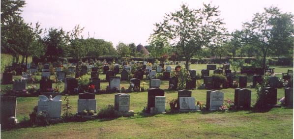
| Description | : | This stands adjacent to the churchyard of St Nicholas and can be accessed therefrom. |
frequently asked questions (FAQ):
-
Where is Weston Road Cemetery?
Weston Road Cemetery is located at Weston Rd Stevenage, Stevenage Borough ,Hertfordshire ,England.
-
Weston Road Cemetery cemetery's updated grave count on graveviews.com?
1 memorials
-
Where are the coordinates of the Weston Road Cemetery?
Latitude: 51.9217860
Longitude: -0.1935160
Nearby Cemetories:
1. St Nicholas Churchyard
Stevenage, Stevenage Borough, England
Coordinate: 51.9201590, -0.1974750
2. Almond Lane Cemetery
Stevenage, Stevenage Borough, England
Coordinate: 51.9161780, -0.1954710
3. High Street Methodist Church
Stevenage, Stevenage Borough, England
Coordinate: 51.9080740, -0.2061550
4. St Ippolyts Church
St Ippolyts, North Hertfordshire District, England
Coordinate: 51.9298460, -0.2591680
5. St. Mary's Churchyard
Aston, East Hertfordshire District, England
Coordinate: 51.8875600, -0.1536200
6. All Saints Churchyard
Willian, North Hertfordshire District, England
Coordinate: 51.9609140, -0.2191160
7. Minsden Chapel
Hitchin, North Hertfordshire District, England
Coordinate: 51.9069200, -0.2595700
8. St. Mary the Virgin Churchyard
Walkern, East Hertfordshire District, England
Coordinate: 51.9226300, -0.1211300
9. St. Mary's Churchyard
Knebworth, North Hertfordshire District, England
Coordinate: 51.8723580, -0.2160890
10. Harwood Park Crematorium
Stevenage, Stevenage Borough, England
Coordinate: 51.8717680, -0.1698410
11. Hitchin Cemetery
Hitchin, North Hertfordshire District, England
Coordinate: 51.9429090, -0.2732690
12. St Peter Churchyard
Benington, East Hertfordshire District, England
Coordinate: 51.8956030, -0.1167310
13. All Saints Churchyard
Radwell, North Hertfordshire District, England
Coordinate: 51.9747300, -0.1668550
14. St Martin
Knebworth, North Hertfordshire District, England
Coordinate: 51.8654900, -0.1820500
15. All Saints Churchyard
St Pauls Walden, North Hertfordshire District, England
Coordinate: 51.8865400, -0.2689200
16. St Lawrence Churchyard
Ardeley, East Hertfordshire District, England
Coordinate: 51.9274000, -0.0989000
17. St Martins
Preston, North Hertfordshire District, England
Coordinate: 51.9091932, -0.2876494
18. Knebworth Cemetery
Knebworth, North Hertfordshire District, England
Coordinate: 51.8595280, -0.1867730
19. Icknield Way Cemetery
Letchworth, North Hertfordshire District, England
Coordinate: 51.9787300, -0.2506100
20. All Saints Churchyard
Datchworth, East Hertfordshire District, England
Coordinate: 51.8575577, -0.1609916
21. St Mary Churchyard
Baldock, North Hertfordshire District, England
Coordinate: 51.9897380, -0.1898930
22. Baldock Cemetery
Baldock, North Hertfordshire District, England
Coordinate: 51.9901010, -0.1960690
23. St John the Baptist Churchyard
Cottered, East Hertfordshire District, England
Coordinate: 51.9458000, -0.0846000
24. Wilbury Hills Cemetery
Letchworth, North Hertfordshire District, England
Coordinate: 51.9862210, -0.2474770