
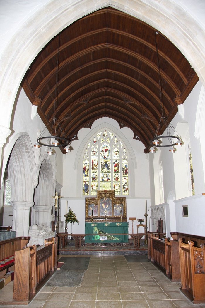
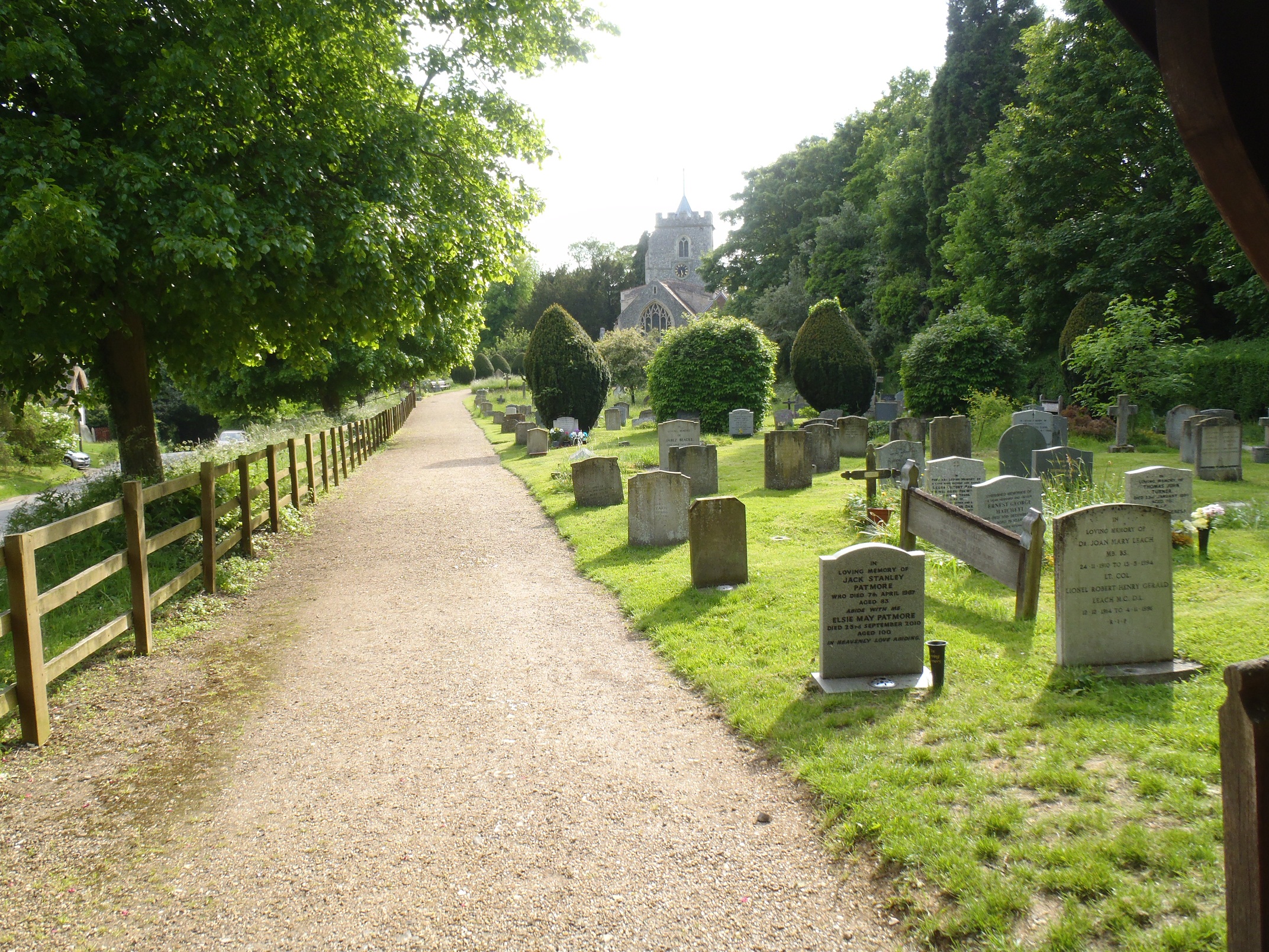
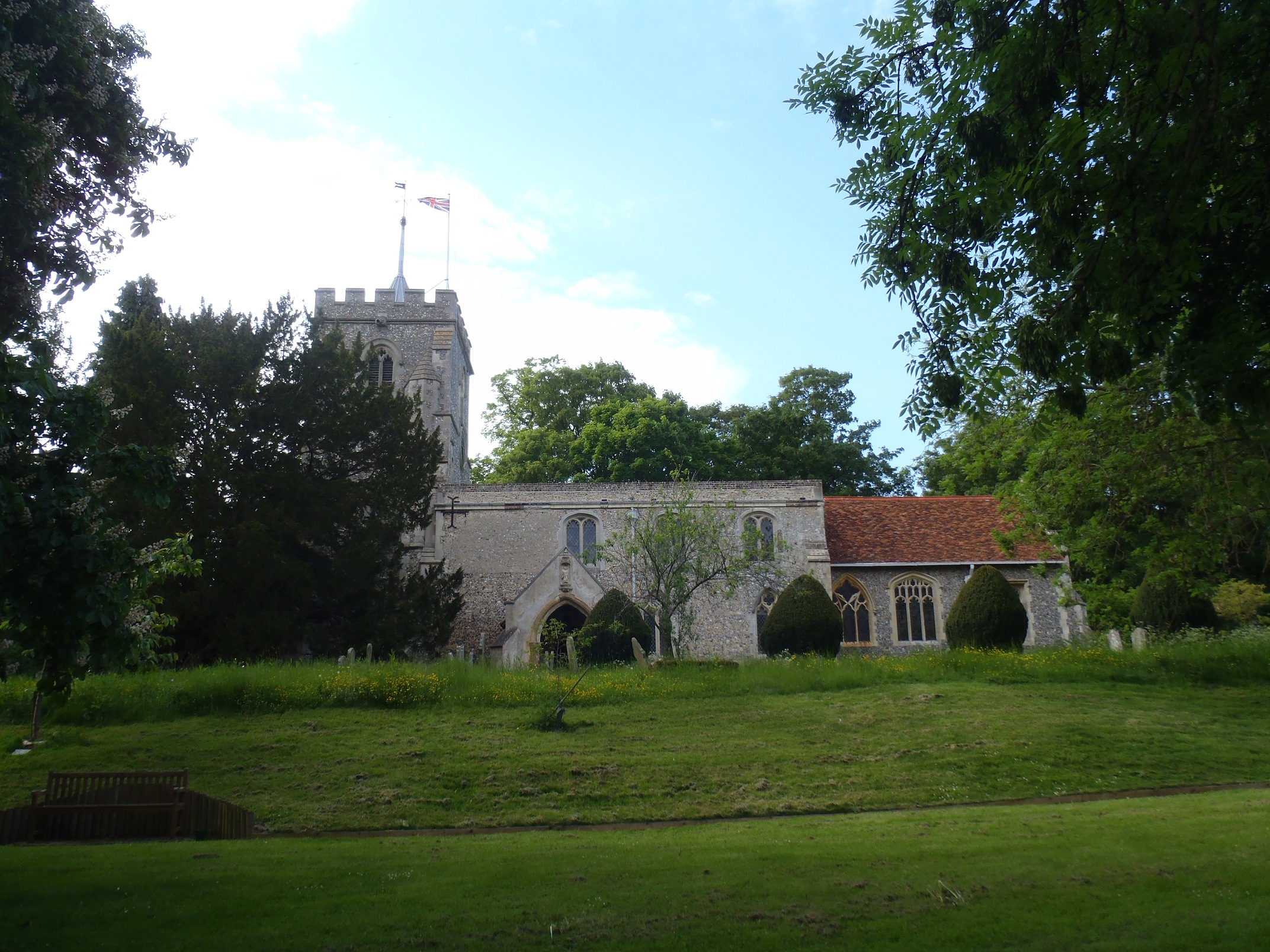
| Memorials | : | 104 |
| Location | : | Benington, East Hertfordshire District, England |
| Coordinate | : | 51.8956030, -0.1167310 |
frequently asked questions (FAQ):
-
Where is St Peter Churchyard?
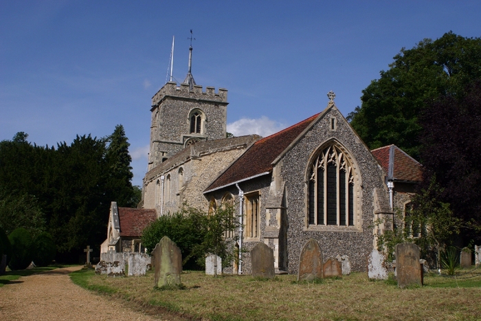
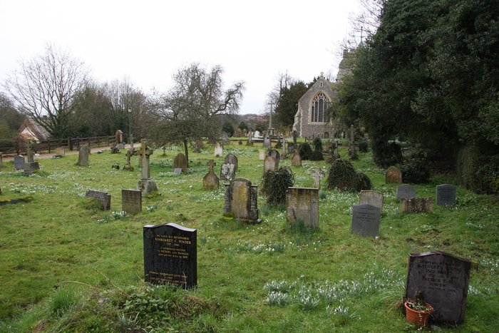
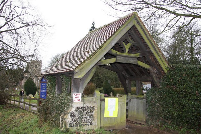
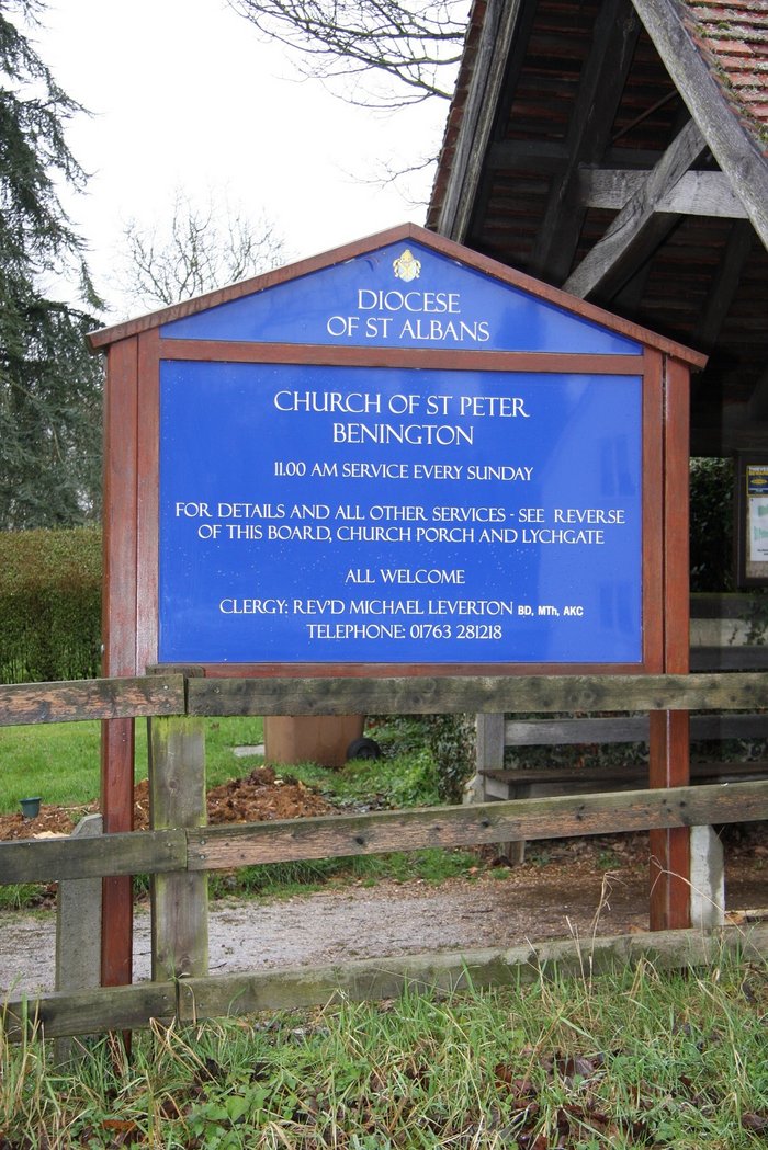
St Peter Churchyard is located at Benington, East Hertfordshire District ,Hertfordshire ,England.
-
St Peter Churchyard cemetery's updated grave count on graveviews.com?
0 memorials
-
Where are the coordinates of the St Peter Churchyard?
Latitude: 51.8956030
Longitude: -0.1167310
Nearby Cemetories:
1. St. Mary's Churchyard
Aston, East Hertfordshire District, England
Coordinate: 51.8875600, -0.1536200
2. St. Mary the Virgin Churchyard
Walkern, East Hertfordshire District, England
Coordinate: 51.9226300, -0.1211300
3. St Lawrence Churchyard
Ardeley, East Hertfordshire District, England
Coordinate: 51.9274000, -0.0989000
4. All Saints Churchyard
Little Munden, East Hertfordshire District, England
Coordinate: 51.8795770, -0.0625920
5. Harwood Park Crematorium
Stevenage, Stevenage Borough, England
Coordinate: 51.8717680, -0.1698410
6. Ss Mary and Andrew Churchyard
Watton-at-Stone, East Hertfordshire District, England
Coordinate: 51.8533290, -0.1102500
7. All Saints Churchyard
Datchworth, East Hertfordshire District, England
Coordinate: 51.8575577, -0.1609916
8. St Martin
Knebworth, North Hertfordshire District, England
Coordinate: 51.8654900, -0.1820500
9. St. Nicholas' Churchyard
Great Munden, East Hertfordshire District, England
Coordinate: 51.8996010, -0.0316180
10. Almond Lane Cemetery
Stevenage, Stevenage Borough, England
Coordinate: 51.9161780, -0.1954710
11. St John the Baptist Churchyard
Cottered, East Hertfordshire District, England
Coordinate: 51.9458000, -0.0846000
12. Weston Road Cemetery
Stevenage, Stevenage Borough, England
Coordinate: 51.9217860, -0.1935160
13. St Nicholas Churchyard
Stevenage, Stevenage Borough, England
Coordinate: 51.9201590, -0.1974750
14. Knebworth Cemetery
Knebworth, North Hertfordshire District, England
Coordinate: 51.8595280, -0.1867730
15. High Street Methodist Church
Stevenage, Stevenage Borough, England
Coordinate: 51.9080740, -0.2061550
16. St Mary the Virgin Churchyard
Stapleford, East Hertfordshire District, England
Coordinate: 51.8349710, -0.0973140
17. St. Mary's Churchyard
Knebworth, North Hertfordshire District, England
Coordinate: 51.8723580, -0.2160890
18. St Edmund of Canterbury and the English Martyrs
Old Hall Green, East Hertfordshire District, England
Coordinate: 51.8799220, -0.0110510
19. Holy Trinity Churchyard
Buntingford, East Hertfordshire District, England
Coordinate: 51.9540854, -0.0541753
20. St Andrew Church
Bramfield, East Hertfordshire District, England
Coordinate: 51.8241000, -0.1266000
21. St. Mary the Virgin-Westmill
St Albans, St Albans District, England
Coordinate: 51.9262000, -0.0098000
22. St Mary Churchyard
Rushden, North Hertfordshire District, England
Coordinate: 51.9689930, -0.1012800
23. St John the Evangelist Churchyard
High Cross, East Hertfordshire District, England
Coordinate: 51.8500010, -0.0213550
24. Puckeridge Chapel
Northchurch, Dacorum Borough, England
Coordinate: 51.8890720, 0.0106480