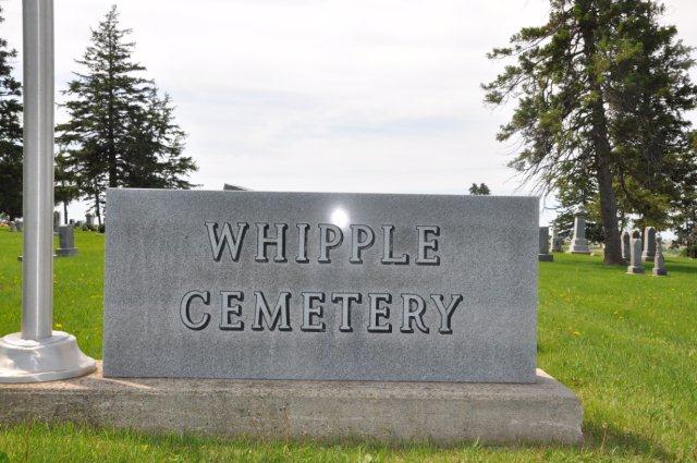
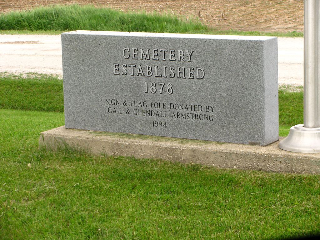
| Memorials | : | 33 |
| Location | : | Pottawattamie County, USA |
| Coordinate | : | 41.2882996, -95.1983032 |
| Description | : | To reach Whipple Cemetery turn north from Highway 92 onto Highway M-47/500th Street (a few miles west of Griswold, Iowa). Travel north approximately 4 miles to Hackberry Road. Turn right (east) approximately 1-1/2 miles. You'll see a grove of evergreen trees on your right. They form the borders of Whipple Cemetery. |
frequently asked questions (FAQ):
-
Where is Whipple Cemetery?
Whipple Cemetery is located at Pottawattamie County ,Iowa ,USA.
-
Whipple Cemetery cemetery's updated grave count on graveviews.com?
33 memorials
-
Where are the coordinates of the Whipple Cemetery?
Latitude: 41.2882996
Longitude: -95.1983032
Nearby Cemetories:
1. Smith Cemetery
Griswold, Cass County, USA
Coordinate: 41.2606010, -95.1453018
2. Griswold Cemetery
Waveland Township, Pottawattamie County, USA
Coordinate: 41.2360992, -95.1735992
3. Flint Cemetery
Pottawattamie County, USA
Coordinate: 41.2289009, -95.1841965
4. Pleasant Township Cemetery
Griswold, Cass County, USA
Coordinate: 41.2056000, -95.1370000
5. Oakwood Cemetery
Lewis, Cass County, USA
Coordinate: 41.3133011, -95.0746994
6. Lincoln Township Cemetery
Hancock, Pottawattamie County, USA
Coordinate: 41.3824997, -95.2313995
7. Waveland Cemetery
Pottawattamie County, USA
Coordinate: 41.1738700, -95.1881500
8. Mercer Cemetery
Pottawattamie County, USA
Coordinate: 41.1753006, -95.1650009
9. Bradway Farm Cemetery
Macedonia, Pottawattamie County, USA
Coordinate: 41.2083300, -95.3336500
10. Wheeler Grove Cemetery
Macedonia, Pottawattamie County, USA
Coordinate: 41.2131691, -95.3393631
11. Oaklawn Cemetery
Oakland, Pottawattamie County, USA
Coordinate: 41.3260994, -95.3818970
12. Oak Hill Cemetery
Hancock, Pottawattamie County, USA
Coordinate: 41.3908005, -95.3360977
13. Hillside Cemetery
Elliott, Montgomery County, USA
Coordinate: 41.1408005, -95.1544037
14. Lowman Cemetery
Griswold, Cass County, USA
Coordinate: 41.1594009, -95.0886002
15. Mormon Cemetery
Macedonia, Pottawattamie County, USA
Coordinate: 41.1885986, -95.3557663
16. Center Ridge Cemetery
Montgomery County, USA
Coordinate: 41.1452141, -95.2787018
17. Carson Cemetery
Carson, Pottawattamie County, USA
Coordinate: 41.2392006, -95.4044037
18. Buckner Cemetery
Wales, Montgomery County, USA
Coordinate: 41.1595600, -95.3440700
19. Southlawn Memorial Gardens
Atlantic, Cass County, USA
Coordinate: 41.3842010, -95.0044022
20. Saint Johns UCC Cemetery
Lyman, Cass County, USA
Coordinate: 41.2160988, -94.9839020
21. Big Grove Cemetery
Pottawattamie County, USA
Coordinate: 41.3088420, -95.4322120
22. Noble Center Cemetery
Cass County, USA
Coordinate: 41.2014008, -94.9858017
23. Belknap Cemetery
Oakland, Pottawattamie County, USA
Coordinate: 41.2924995, -95.4424973
24. Pilot Grove Center Cemetery
Elliott, Montgomery County, USA
Coordinate: 41.1190600, -95.0993700


